Uphill
97m
France > Pays de la Loire > Mayenne > Normandie-Maine Nature Park
Length
9km
Duration
2h30min
Elev gain
97m
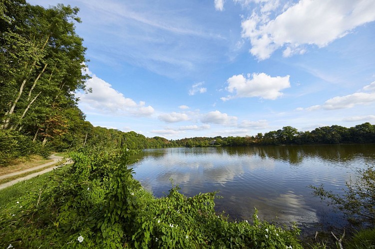
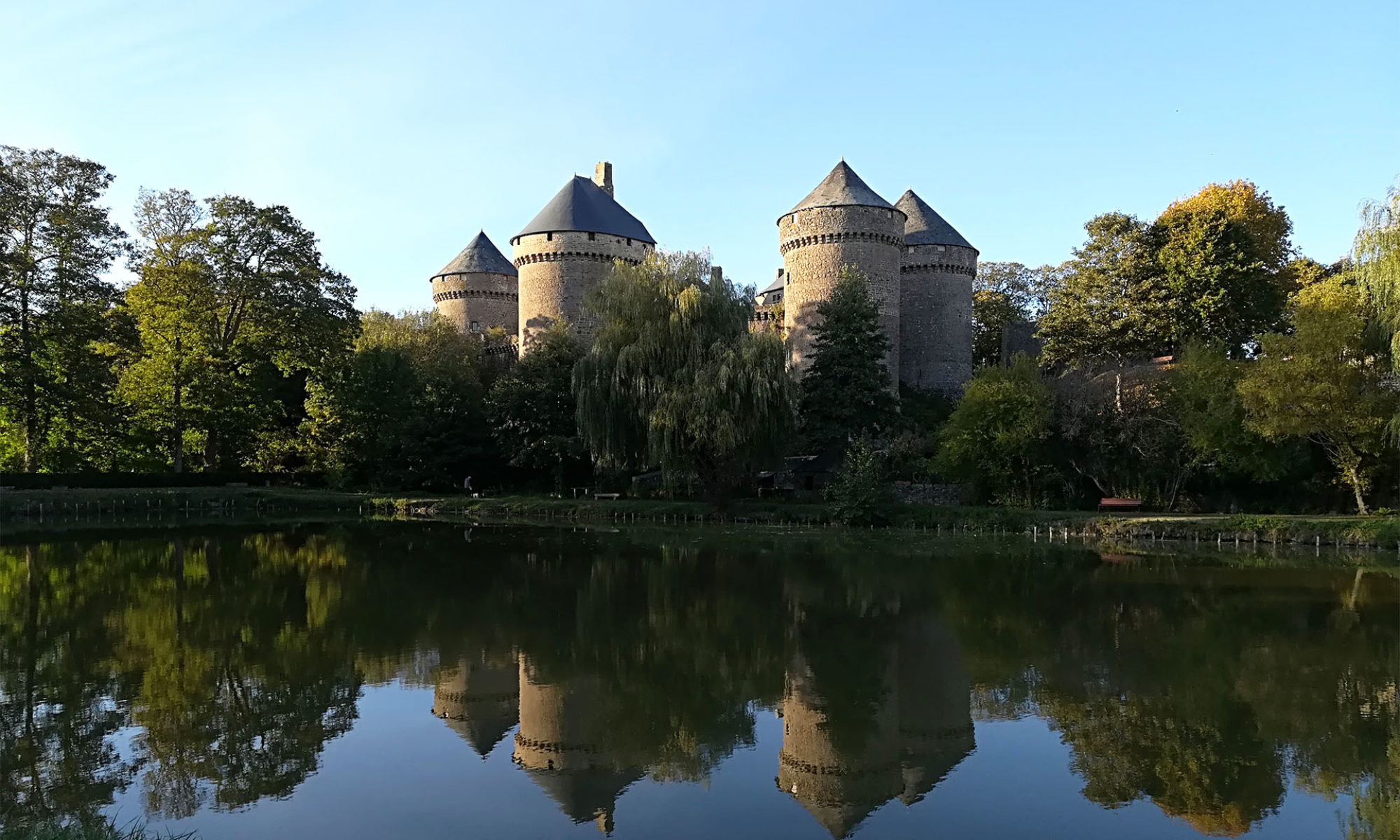
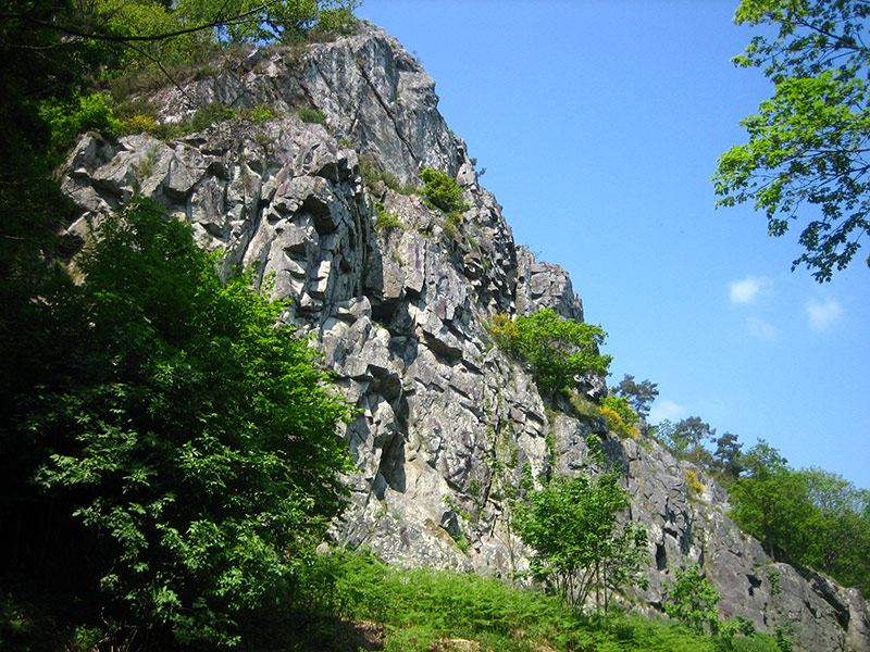
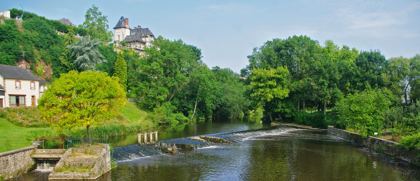
Starting from Ambrières-les-Vallées, here is a pretty walk leading to the confluence of the Mayenne and the Varenne, then along a greenway crossing a bocage plateau.

Already more than 200,000 users!
Uphill
97m
Highest point
137m
Downhill
97m
Lowest point
83m
Route type
Loop
Download the map on your smartphone to save battery and rest assured to always keep access to the route, even without signal.
Includes IGN France and Swisstopo.
I indicate whether dogs are allowed or prohibited on this trail
All year
1 rating
Also enjoy:

Already more than 200,000 users!