Uphill
133m
Length
12km
Duration
3h30min
Elev gain
133m
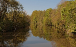
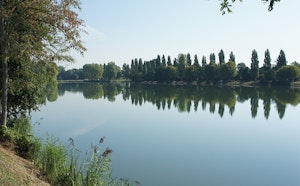
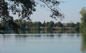
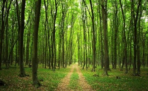
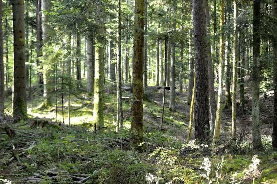
Walk in the wood of Moléans, leaving from the town of the same name and its castle. The landscapes alternate between forest, meadows and banks of the Loir.

Already more than 200,000 users!
Uphill
133m
Highest point
173m
Downhill
133m
Lowest point
107m
Route type
Loop
Download the map on your smartphone to save battery and rest assured to always keep access to the route, even without signal.
Includes IGN France and Swisstopo.
I indicate whether dogs are allowed or prohibited on this trail
All year
0 ratings
Also enjoy:

Already more than 200,000 users!