Uphill
60m
Length
4km
Duration
1h
Elev gain
60m
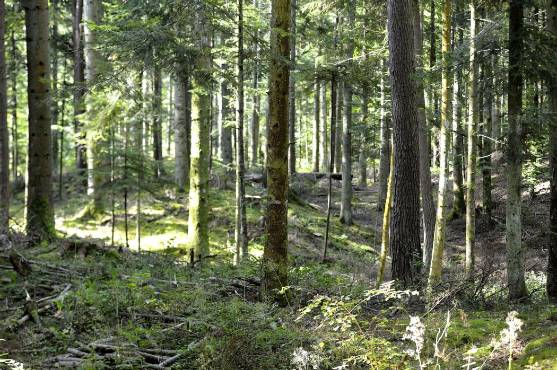
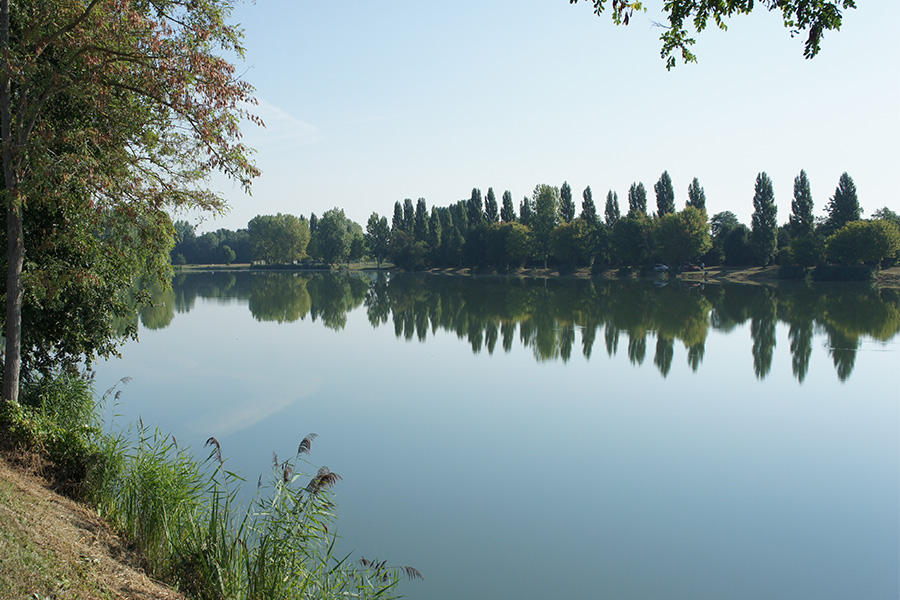
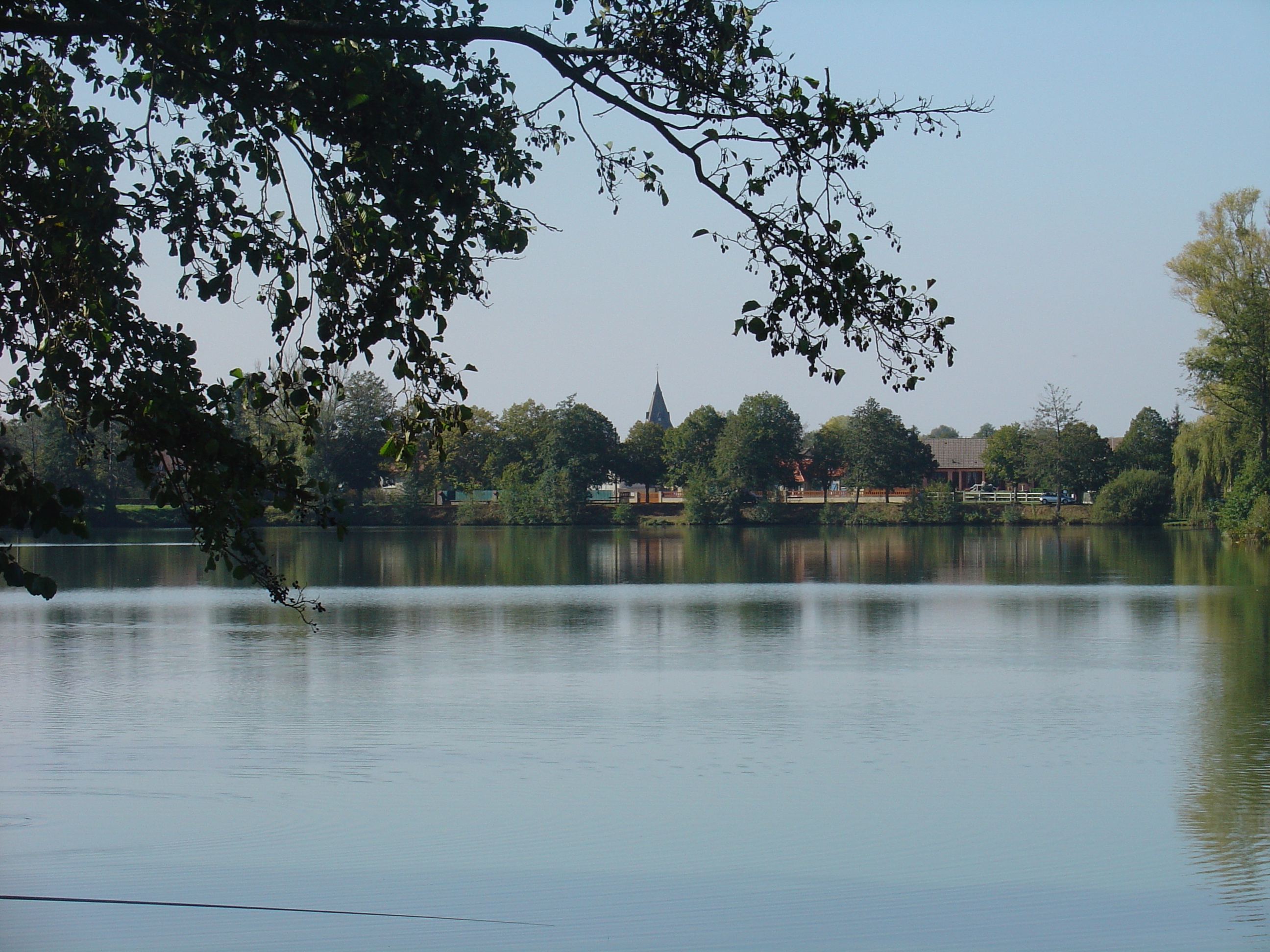
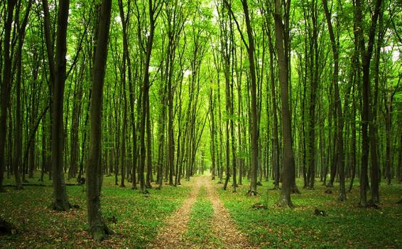
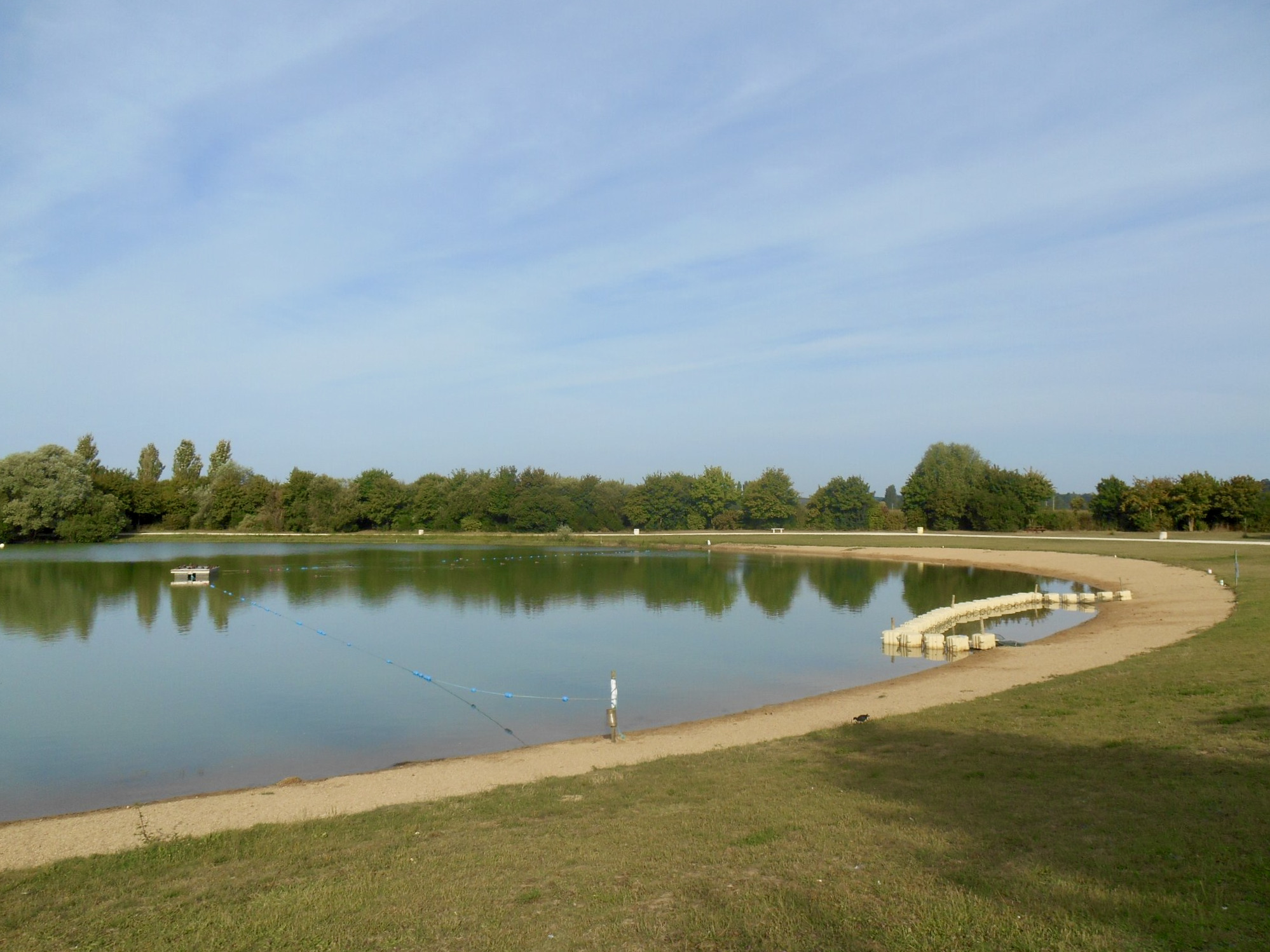
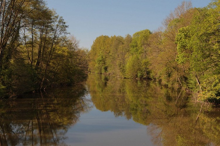
A pretty walk along the banks of the Loir, near Châteaudun. The course is mainly forest and offers beautiful views of the river.

Already more than 200,000 users!
Uphill
60m
Highest point
153m
Downhill
60m
Lowest point
106m
Route type
Loop
Download the map on your smartphone to save battery and rest assured to always keep access to the route, even without signal.
Includes IGN France and Swisstopo.
I indicate whether dogs are allowed or prohibited on this trail
All year
0 ratings
Also enjoy:

Already more than 200,000 users!