Uphill
217m
Length
11km
Duration
3h30min
Elev gain
217m
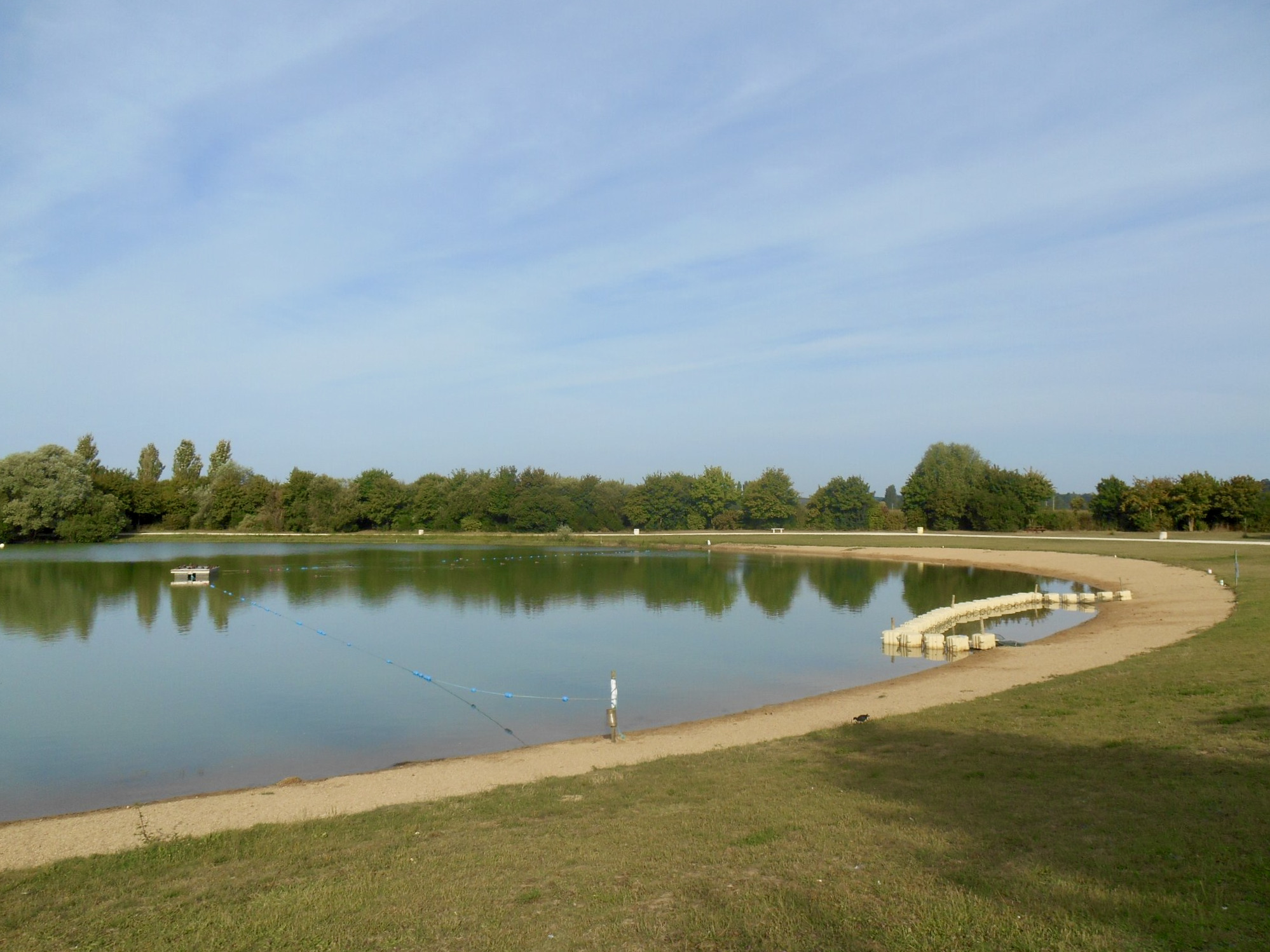
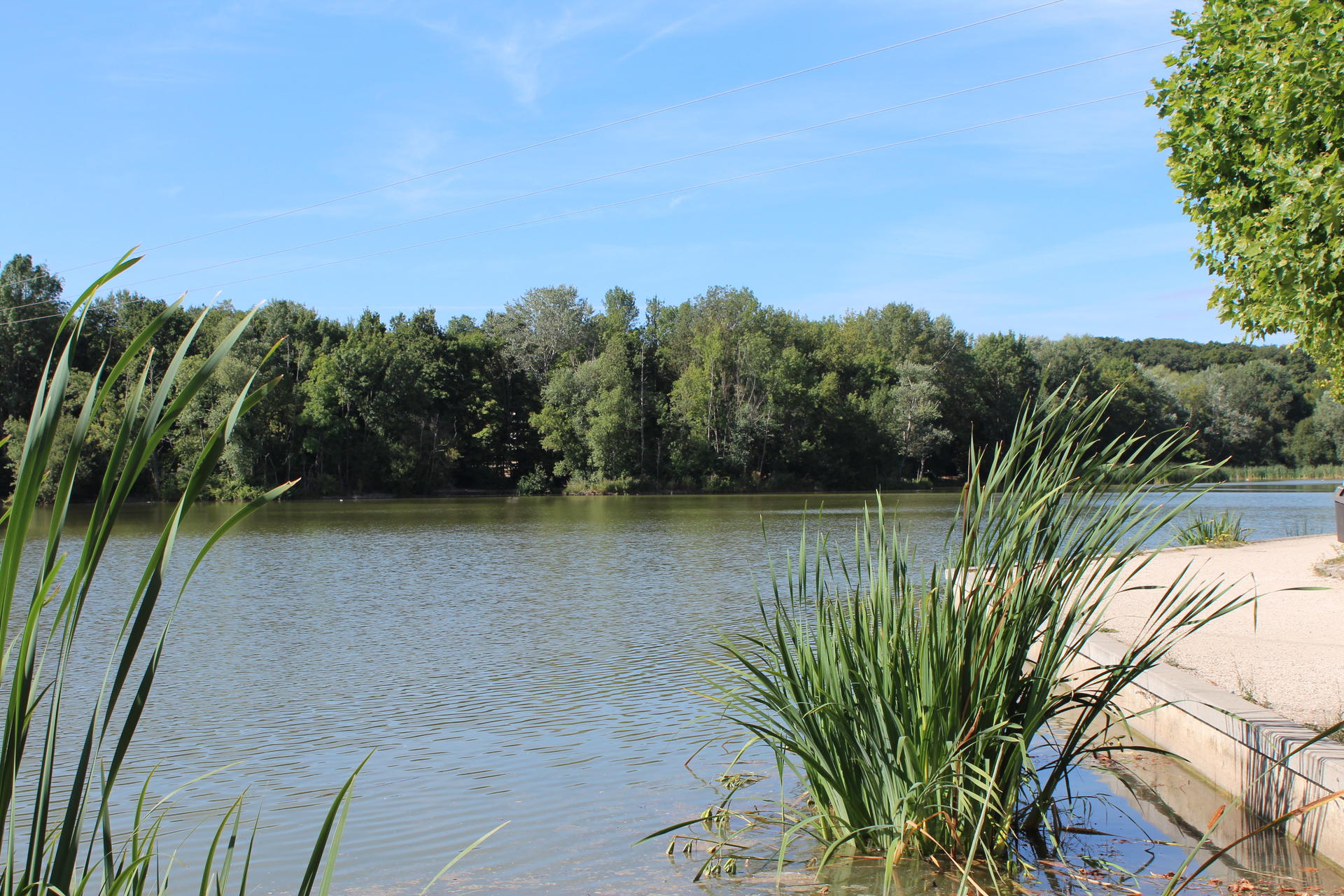
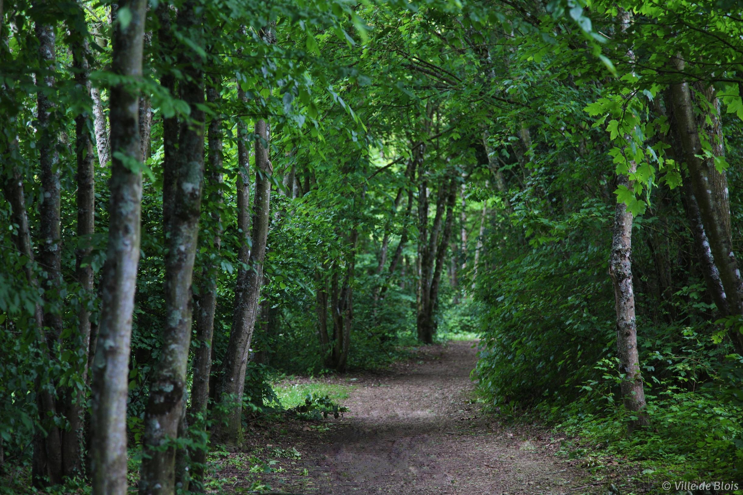
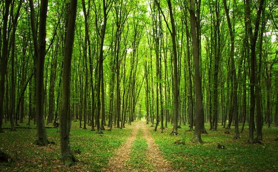
Here is a very pleasant walk that begins south of Vendôme. This route leaves the city, crosses fields then makes a loop in the forest. In short, a beautiful hike that does not lack charm!

Already more than 200,000 users!
Uphill
217m
Highest point
159m
Downhill
217m
Lowest point
84m
Route type
Loop
Download the map on your smartphone to save battery and rest assured to always keep access to the route, even without signal.
Includes IGN France and Swisstopo.
I indicate whether dogs are allowed or prohibited on this trail
All year
1 rating
Super randonnée top ! Pour les sportifs néanmoins 3 bonnes heures de marche avec des faux plats et des petites montées qui stimulent bien les les mollets
Also enjoy:

Already more than 200,000 users!