Uphill
40m
Length
2km
Duration
30min
Elev gain
40m
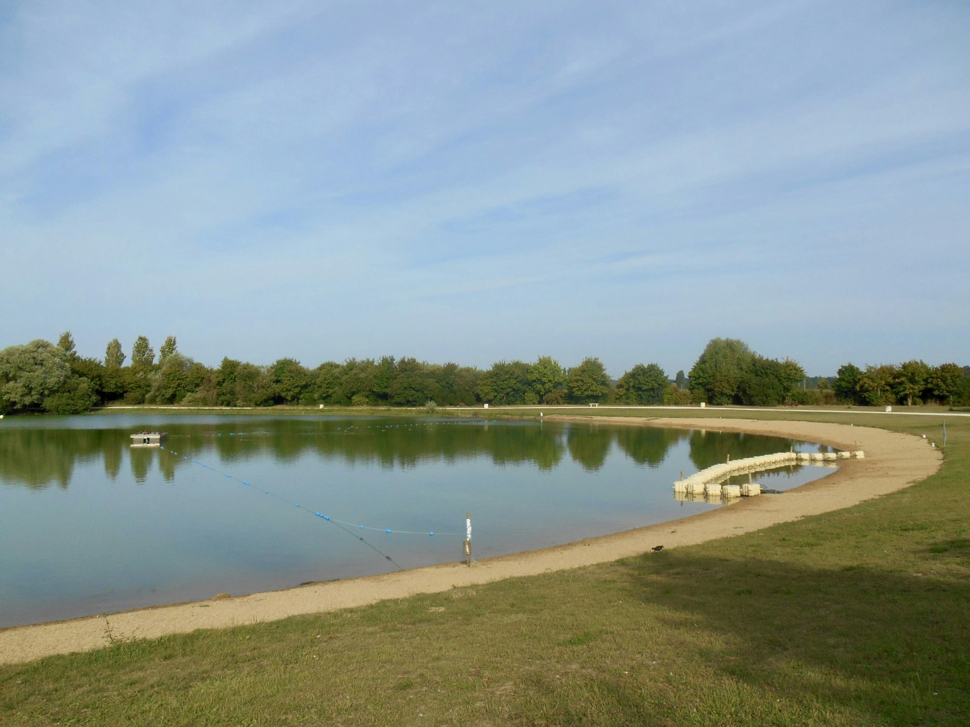
This route goes around the pond of Villiers-sur-Loir, on a path surrounded by lawns and a few trees, in the middle of a landscape of fields.

Already more than 200,000 users!
Uphill
40m
Highest point
81m
Downhill
40m
Lowest point
56m
Route type
Loop
Download the map on your smartphone to save battery and rest assured to always keep access to the route, even without signal.
Includes IGN France and Swisstopo.
I indicate whether dogs are allowed or prohibited on this trail
All year
0 ratings
Also enjoy:

Already more than 200,000 users!


