Uphill
168m
Length
9km
Duration
2h30min
Elev gain
168m
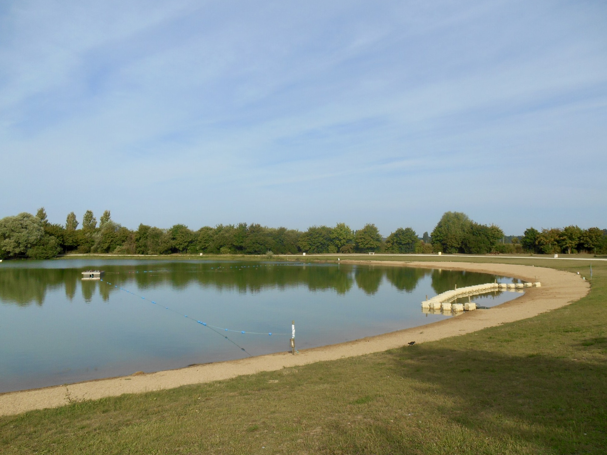
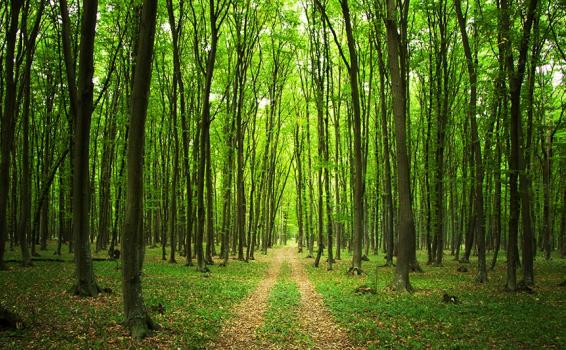
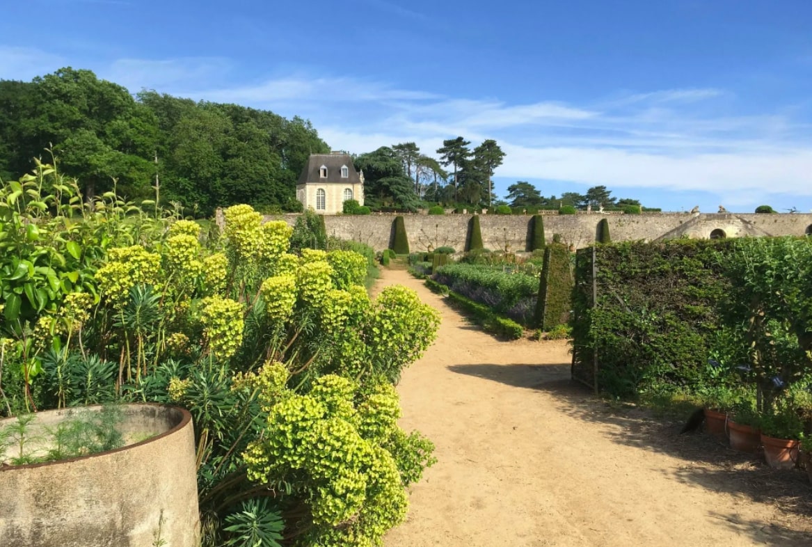
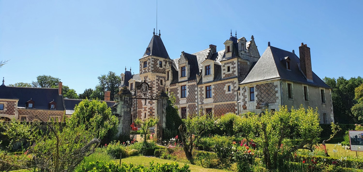
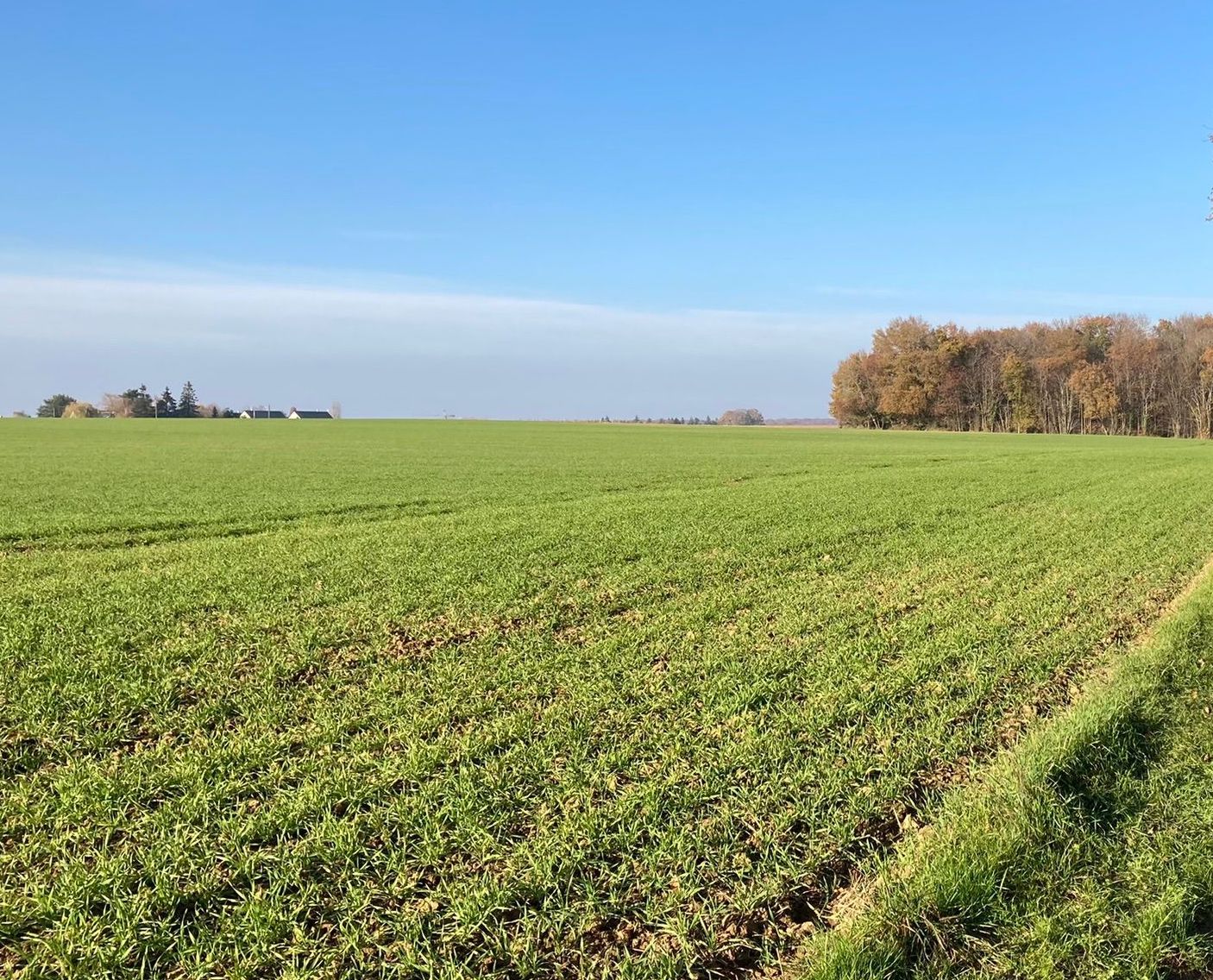
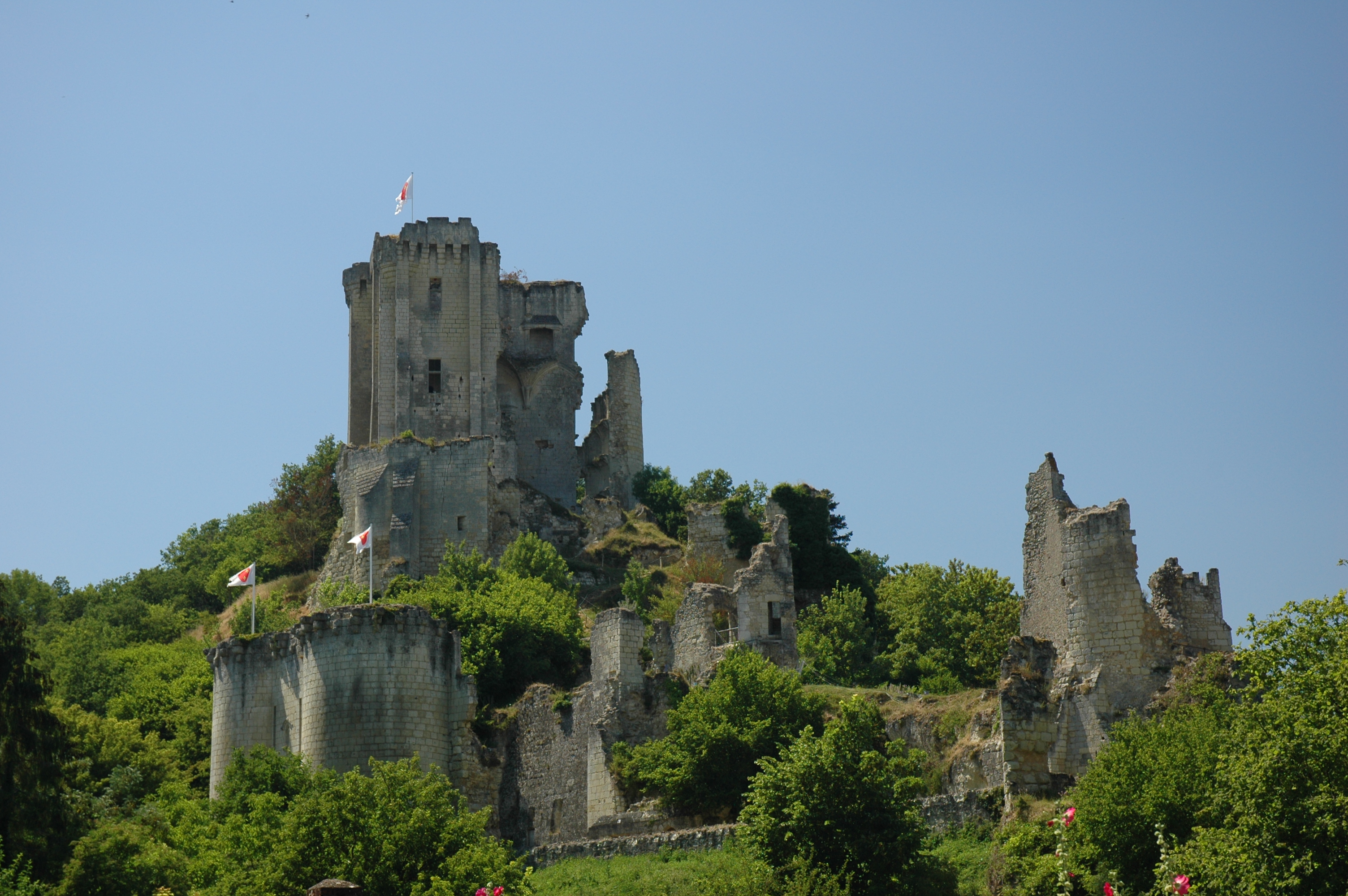
Pleasant walk around the Château de Lavardin. The course makes a loop in a superb environment punctuated by woods, fields and river.

Already more than 200,000 users!
Uphill
168m
Highest point
158m
Downhill
168m
Lowest point
71m
Route type
Loop
Download the map on your smartphone to save battery and rest assured to always keep access to the route, even without signal.
Includes IGN France and Swisstopo.
I indicate whether dogs are allowed or prohibited on this trail
All year
4 ratings
Exceptionnelle ! Magnifique
Also enjoy:

Already more than 200,000 users!