Uphill
59m
Length
7km
Duration
2h
Elev gain
59m
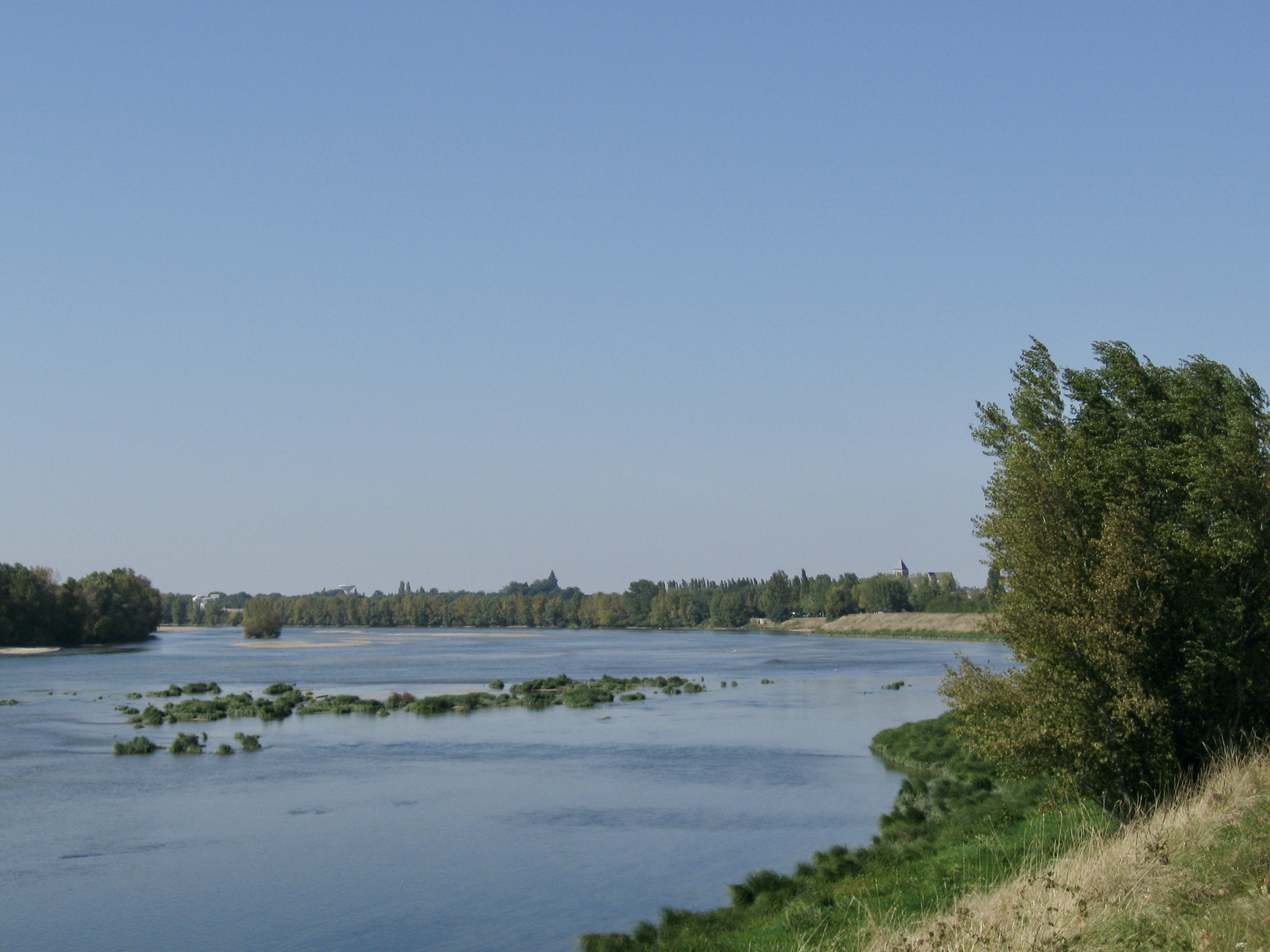
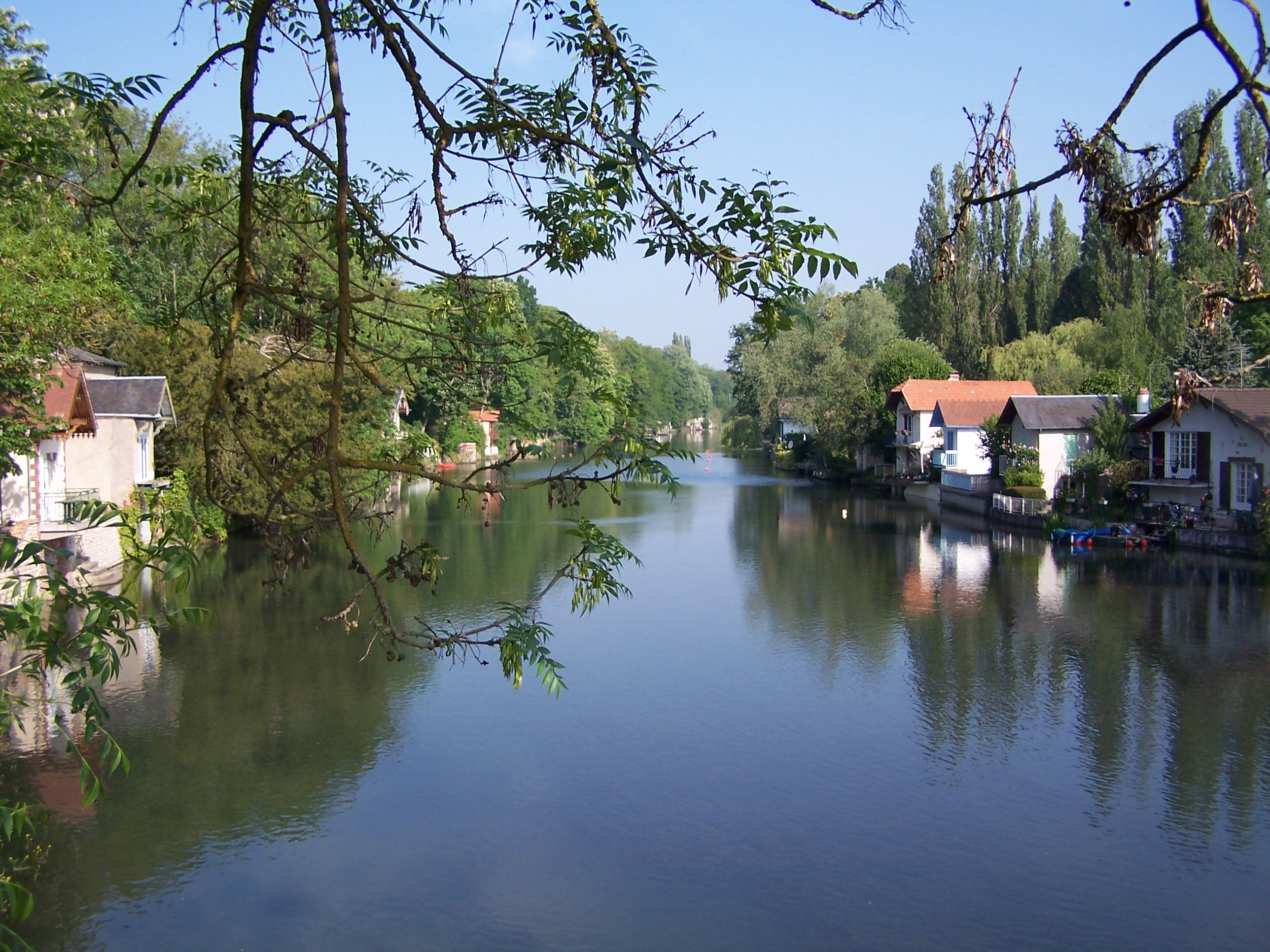
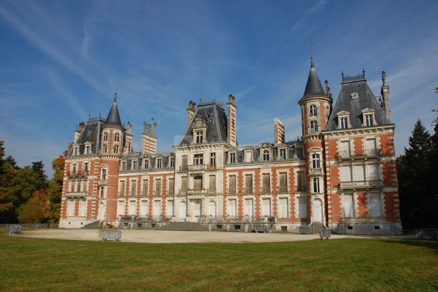
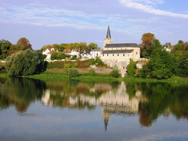
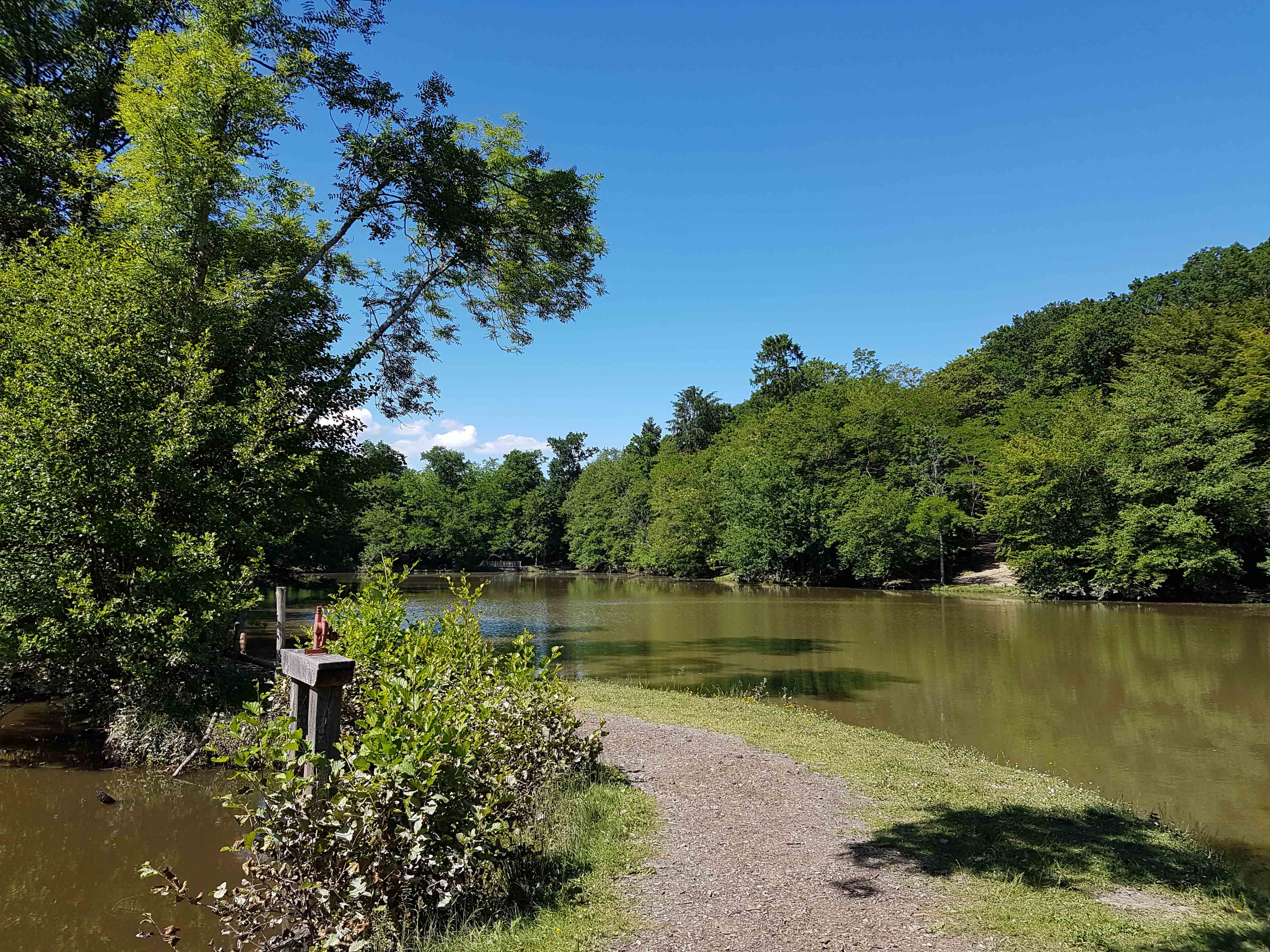
Here is a pretty hike starting south of Saint-Cyr-en-Val. The route makes a loop, mainly in the woods of Reyville, passes by the very beautiful castle of Morchêne and several times along a pond bearing the same name as the castle.

Already more than 200,000 users!
Uphill
59m
Highest point
124m
Downhill
59m
Lowest point
93m
Route type
Loop
Download the map on your smartphone to save battery and rest assured to always keep access to the route, even without signal.
Includes IGN France and Swisstopo.
I indicate whether dogs are allowed or prohibited on this trail
All year
0 ratings
Also enjoy:

Already more than 200,000 users!