Uphill
6m
Length
7km
Duration
1h30min
Elev gain
6m
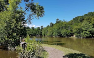
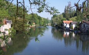
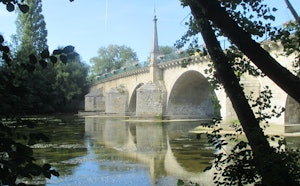
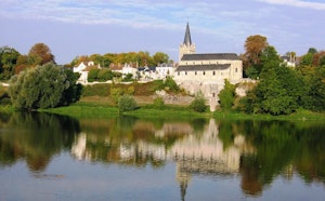
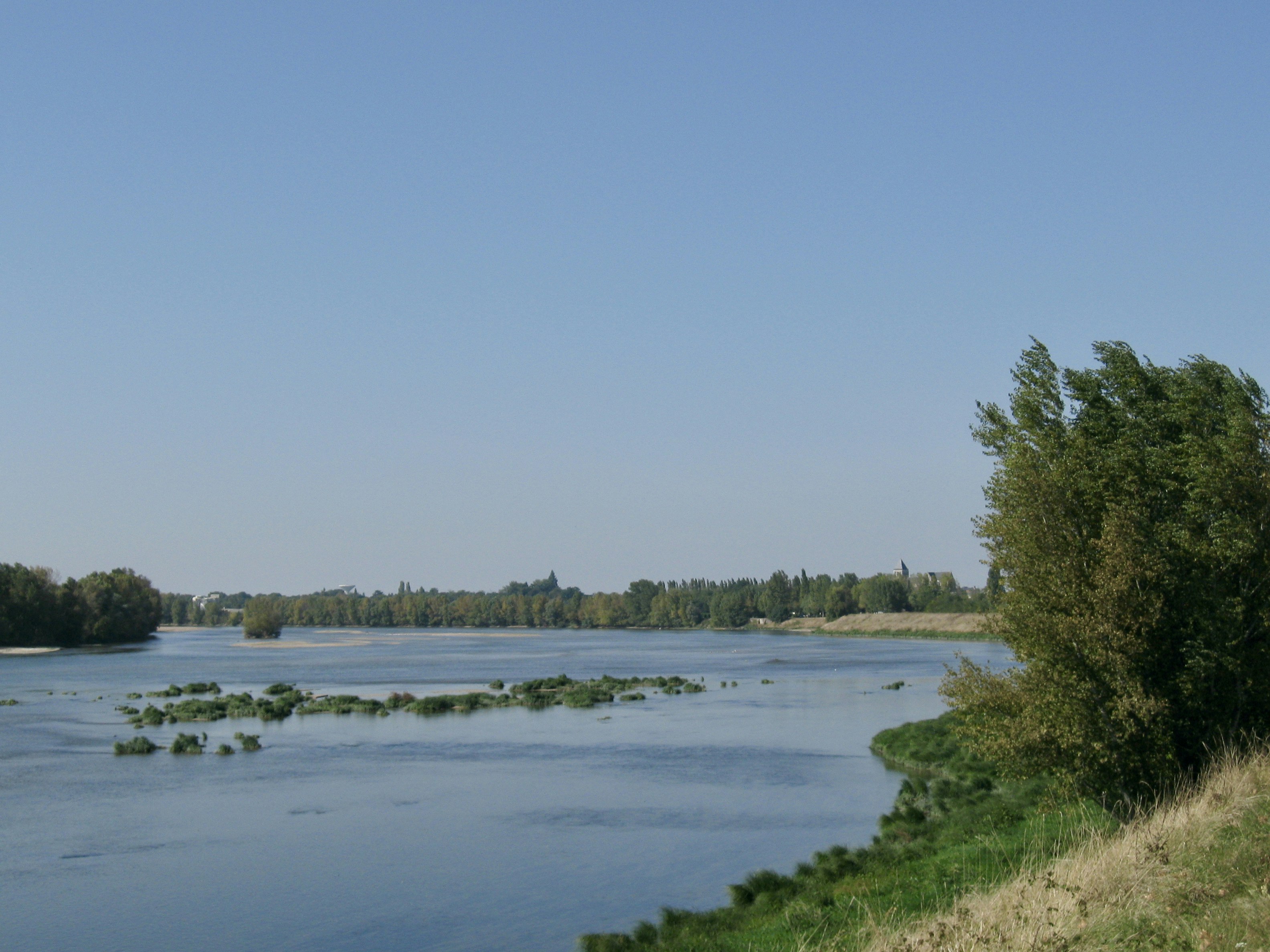
Here is a rejuvenating walk typical of the Loiret. The route runs along the Loire and is done in a beautiful natural environment, in Bou.

Already more than 200,000 users!
Uphill
6m
Highest point
105m
Downhill
6m
Lowest point
87m
Route type
Loop
Download the map on your smartphone to save battery and rest assured to always keep access to the route, even without signal.
Includes IGN France and Swisstopo.
I indicate whether dogs are allowed or prohibited on this trail
All year
2 ratings
Also enjoy:

Already more than 200,000 users!