Uphill
21m
Length
8km
Duration
2h
Elev gain
21m
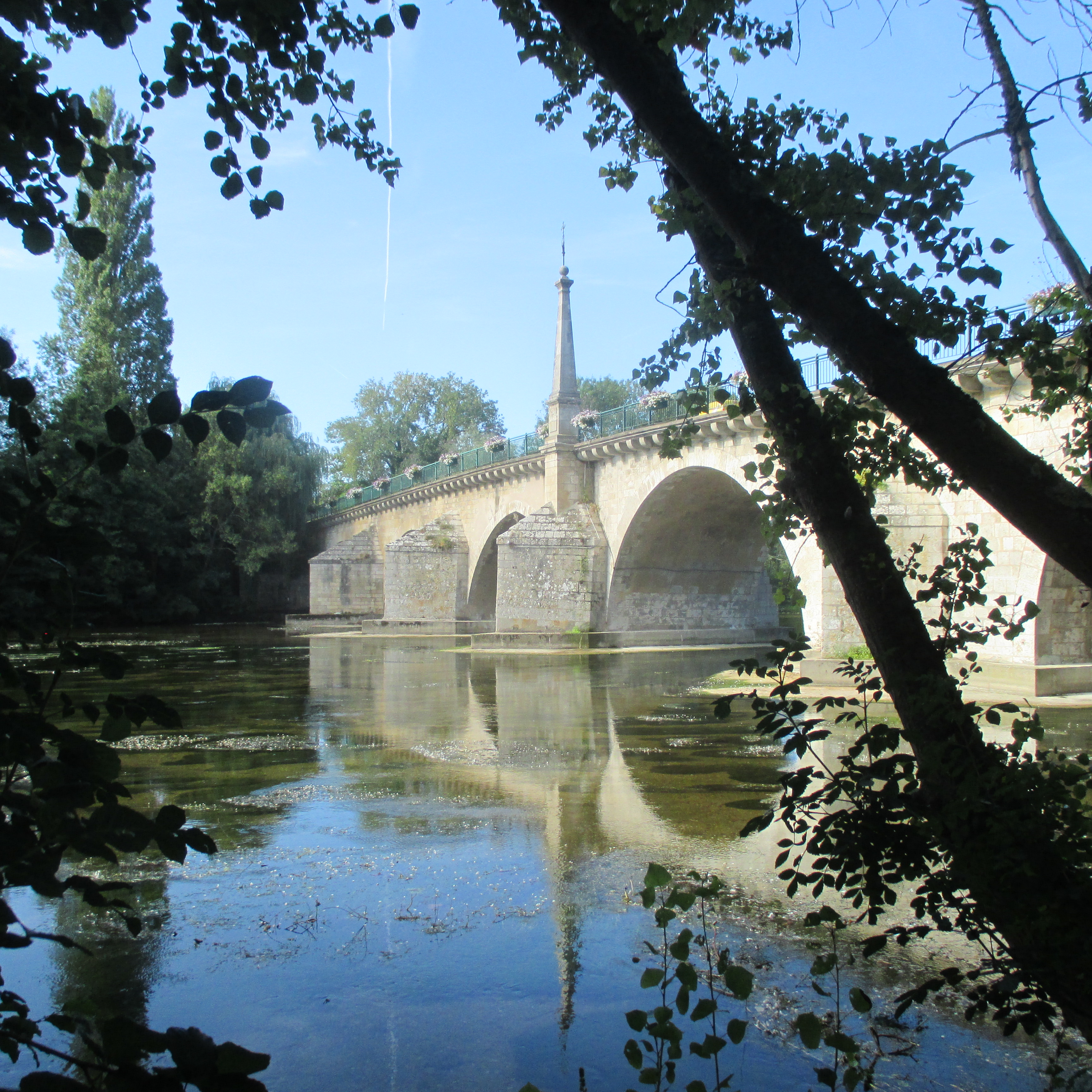
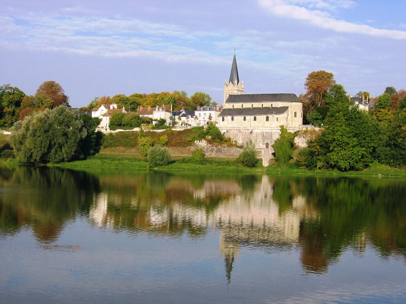
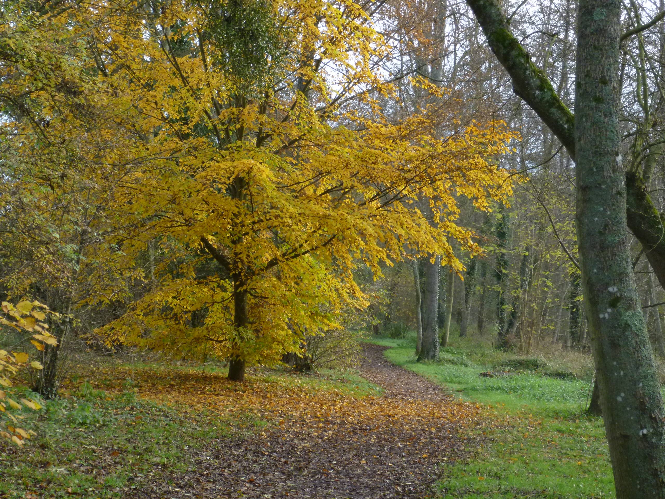
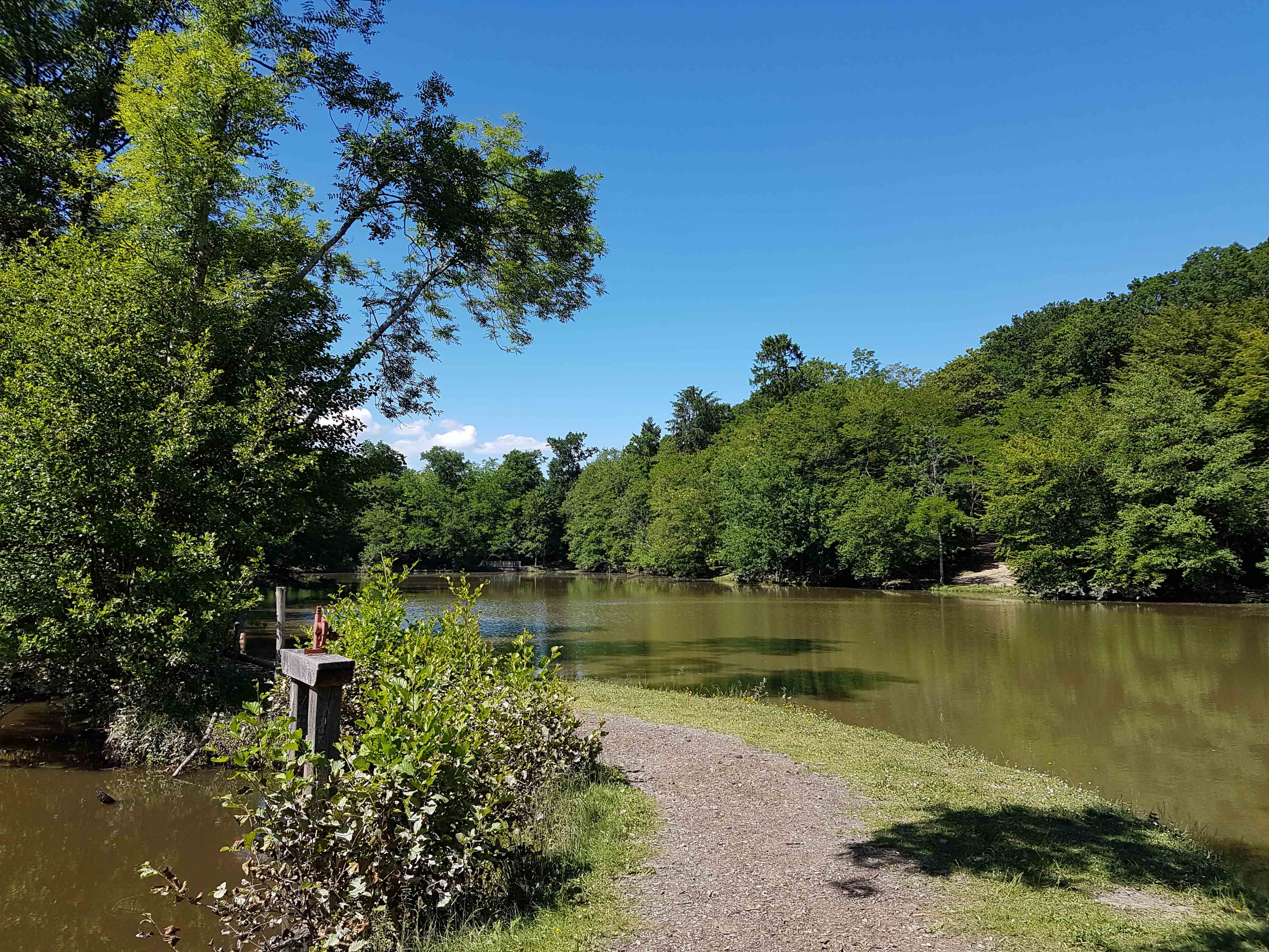
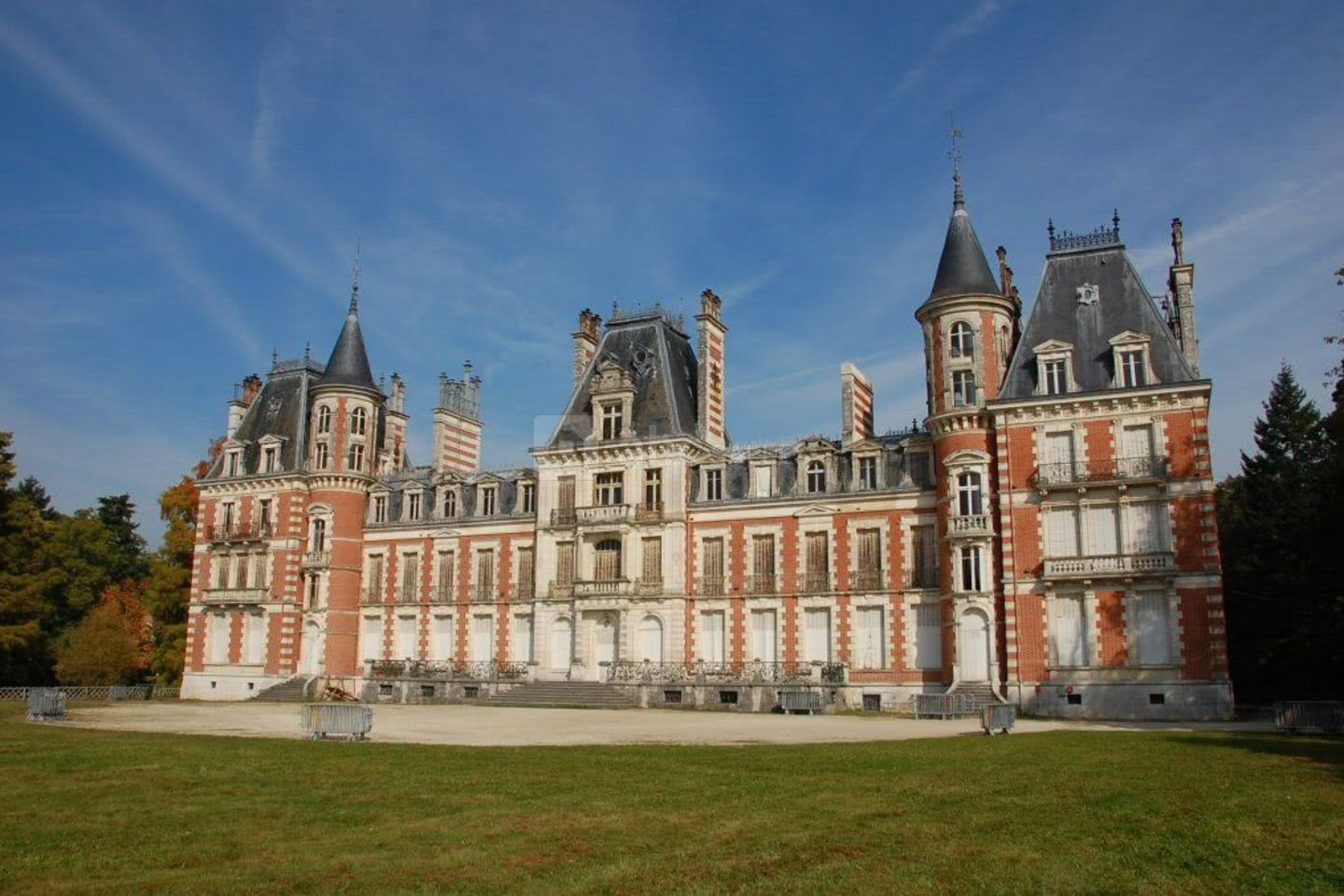
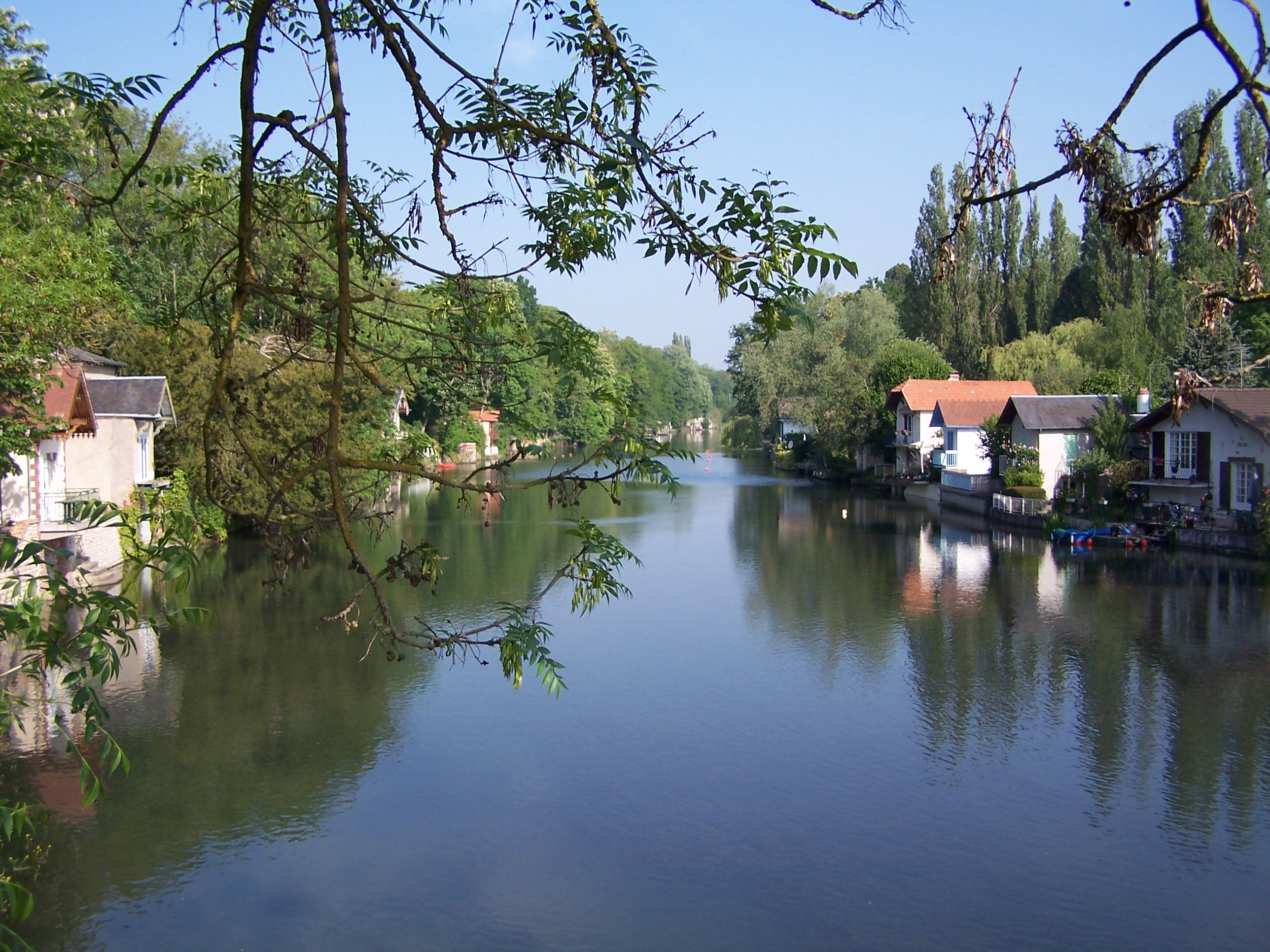
Here is a nice walk on the banks of the Loiret. This route sets out to discover the old mills and the beautiful residences of the Loiret, all in a very pleasant setting and environment.
It is possible to extend the route by stopping off at the charming village of Olivet.

Already more than 200,000 users!
Uphill
21m
Highest point
106m
Downhill
21m
Lowest point
86m
Route type
Loop
Download the map on your smartphone to save battery and rest assured to always keep access to the route, even without signal.
Includes IGN France and Swisstopo.
I indicate whether dogs are allowed or prohibited on this trail
All year
0 ratings
Also enjoy:

Already more than 200,000 users!