Uphill
80m
Length
14km
Duration
4h
Elev gain
80m
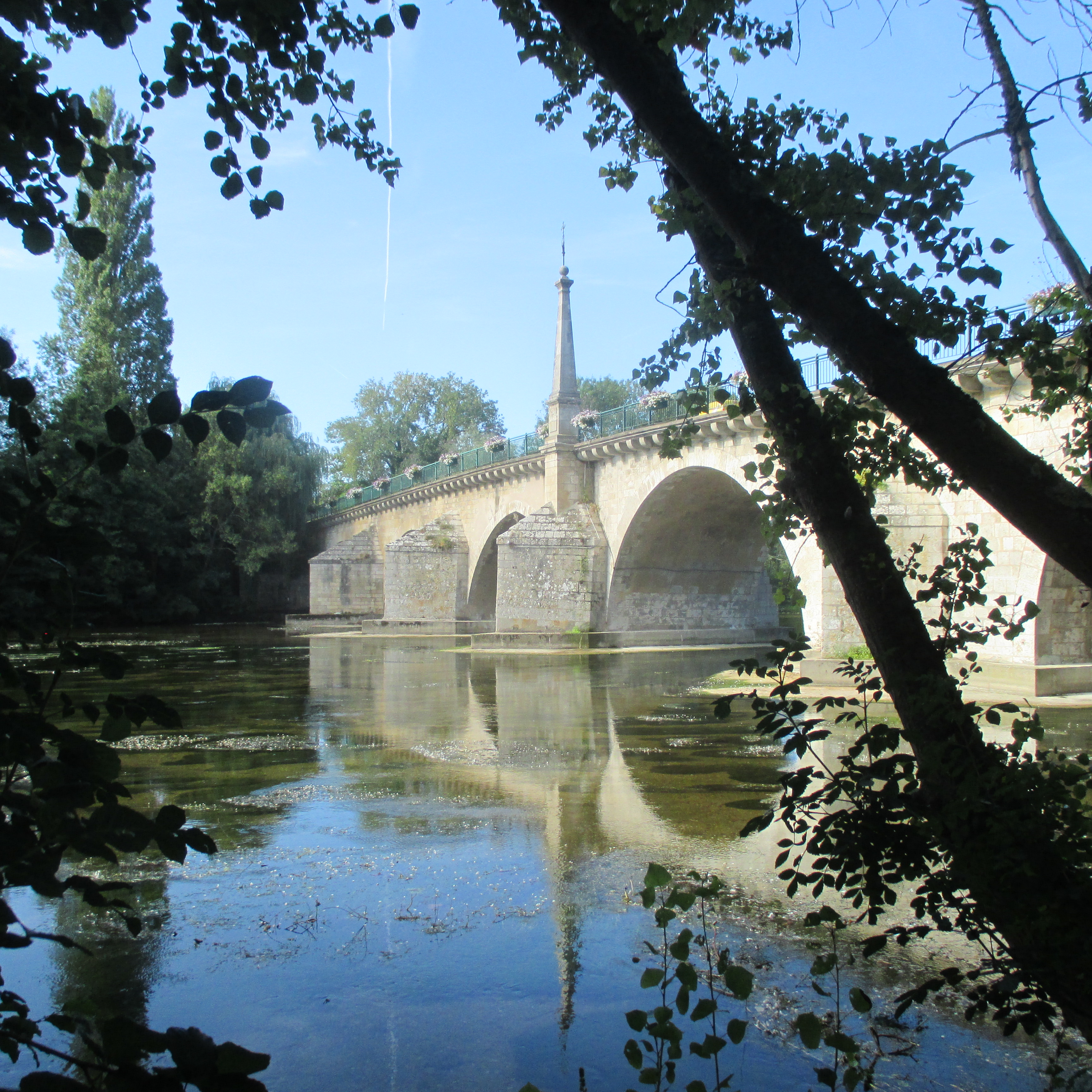
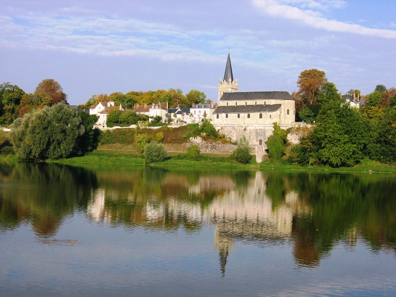
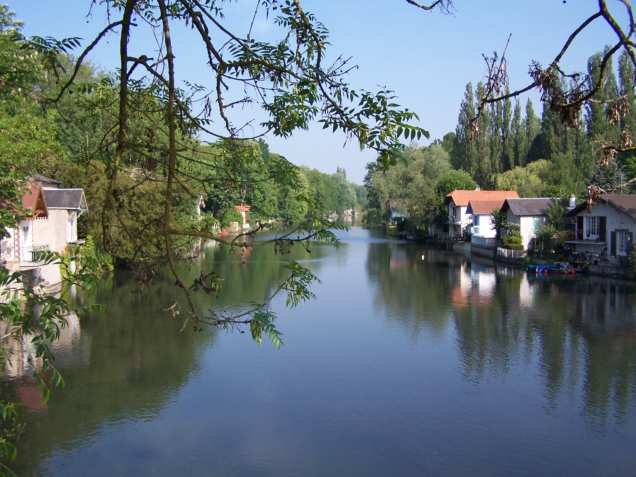
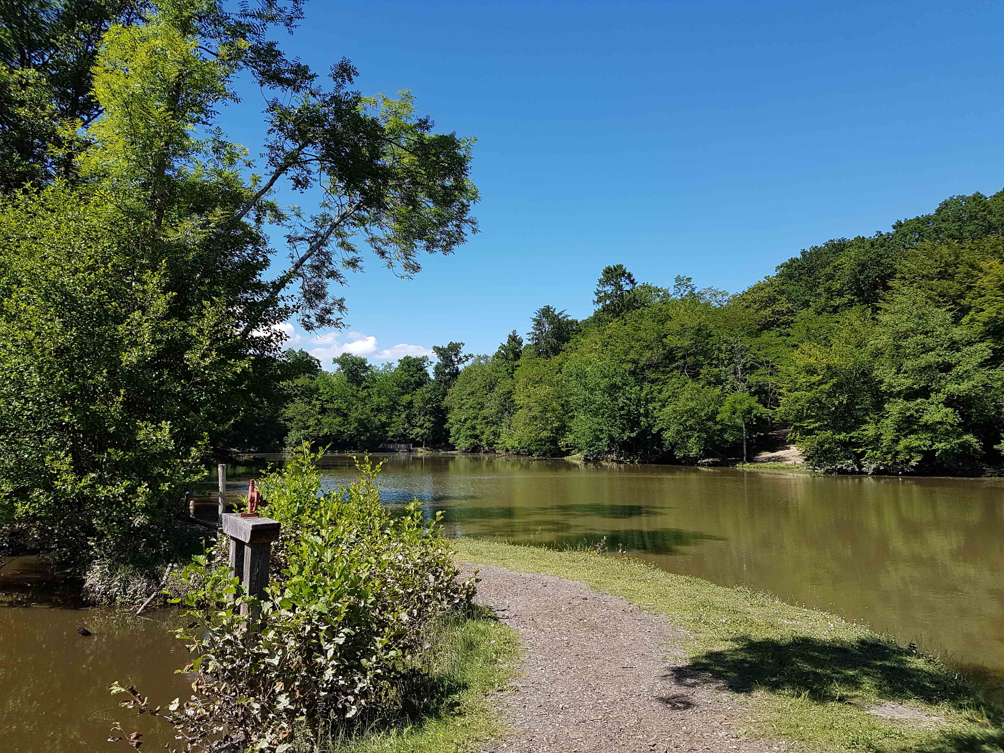
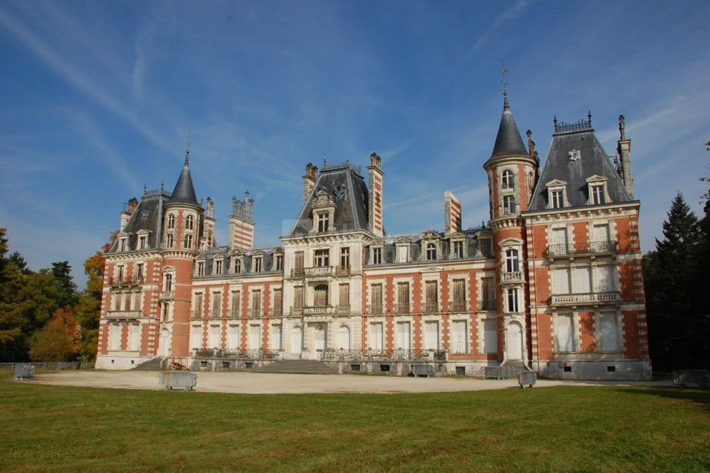
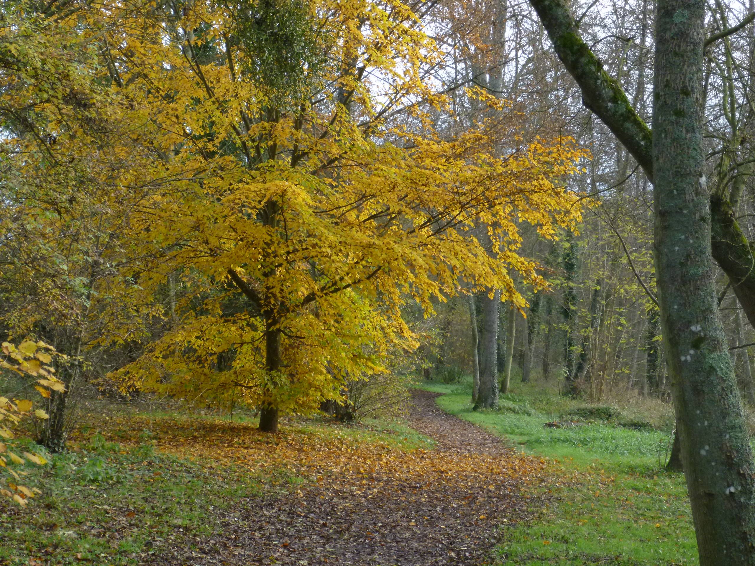
Departing from the village of Mézières-lez-Cléry and its famous castle, this walk makes a nice loop in the heart of the Sologne woods. A beautiful route in the middle of nature that feels good!

Already more than 200,000 users!
Uphill
80m
Highest point
124m
Downhill
80m
Lowest point
88m
Route type
Loop
Download the map on your smartphone to save battery and rest assured to always keep access to the route, even without signal.
Includes IGN France and Swisstopo.
I indicate whether dogs are allowed or prohibited on this trail
All year
0 ratings
Also enjoy:

Already more than 200,000 users!