Uphill
182m
France > Centre-Val de Loire > Indre-et-Loire > Loire-Anjou-Touraine Nature Park
Length
11km
Duration
3h
Elev gain
182m
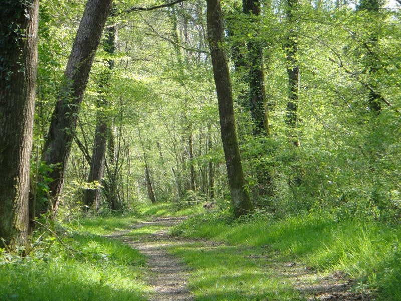
Departing from Saint-Benoit-la-Forêt, this marked trail allows you to discover the Chinon forest. The landscapes alternate hamlets, clearings, and forest. Note some passages on the road.

Already more than 200,000 users!
Uphill
182m
Highest point
134m
Downhill
182m
Lowest point
68m
Route type
Loop
Download the map on your smartphone to save battery and rest assured to always keep access to the route, even without signal.
Includes IGN France and Swisstopo.
I indicate whether dogs are allowed or prohibited on this trail
All year
0 ratings
Also enjoy:

Already more than 200,000 users!


