Uphill
54m
Length
4km
Duration
1h
Elev gain
54m
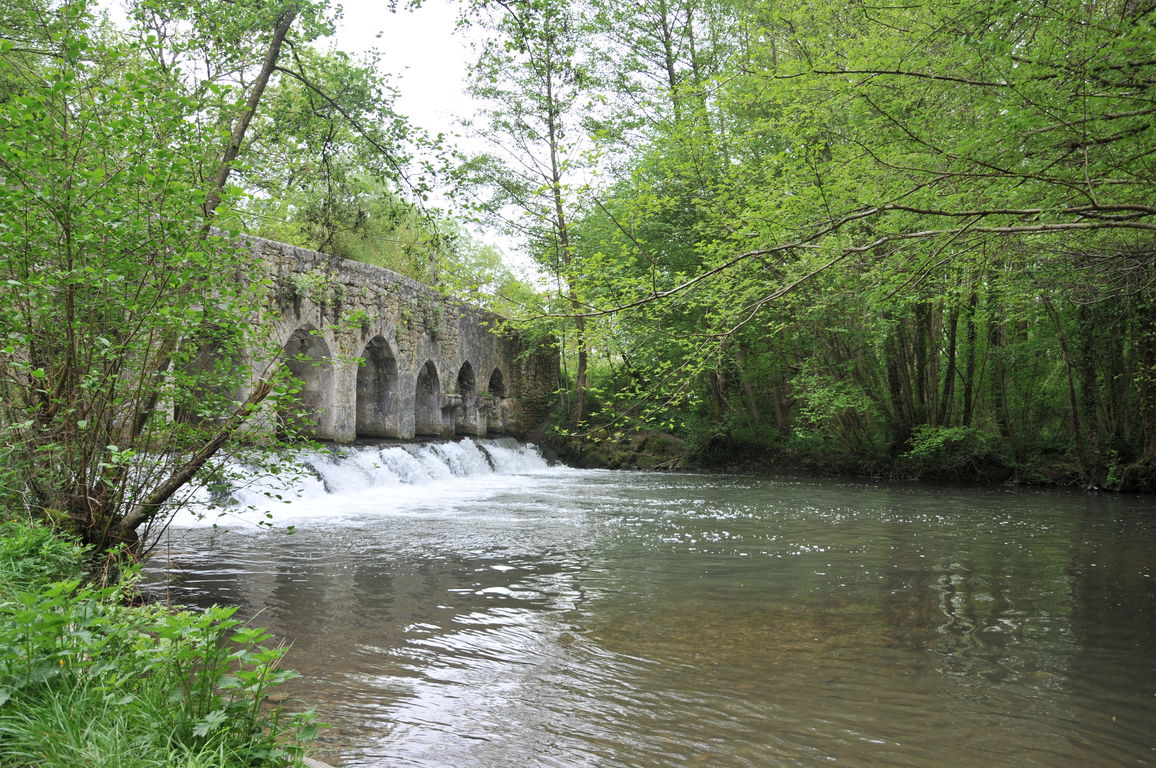
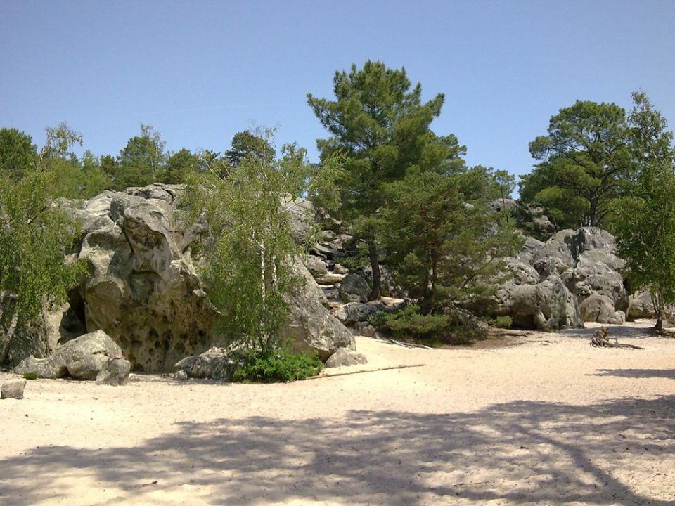
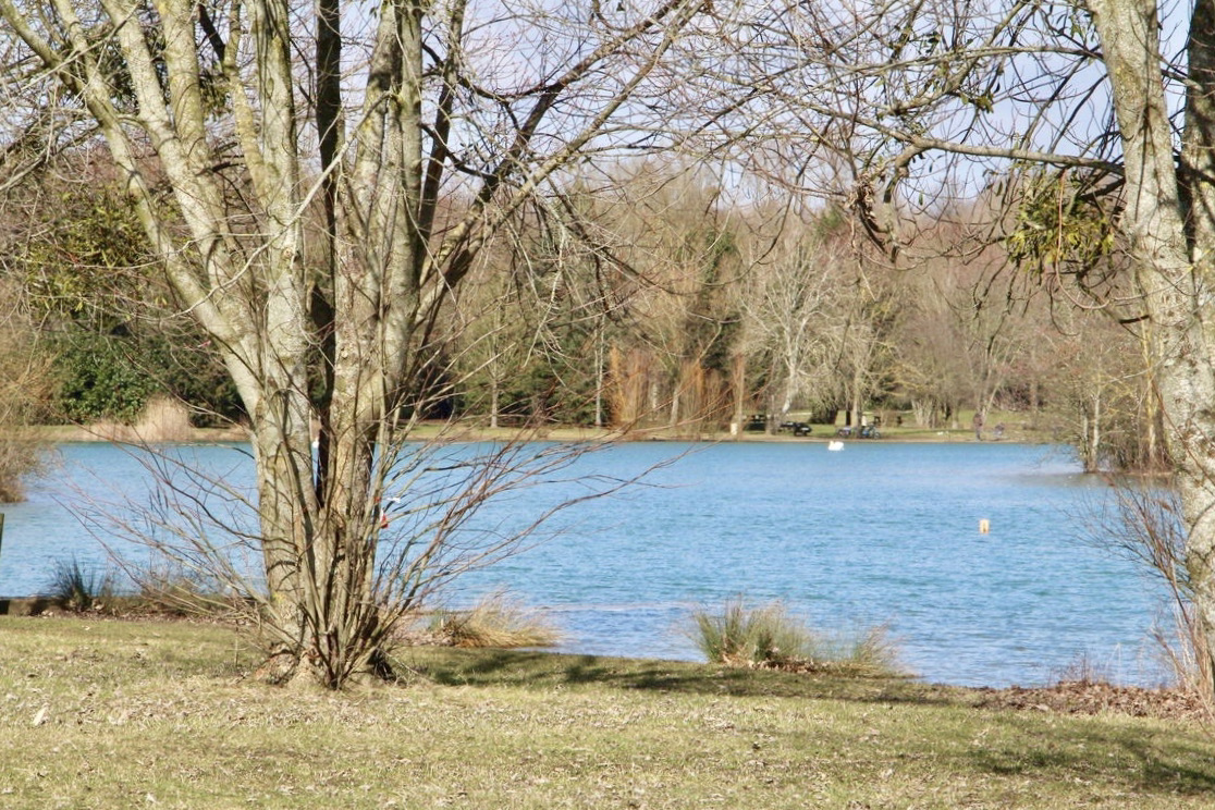
Family outing that takes place north of the town of Châlette-sur-Loing. The course makes a small loop around Lac de Chalette, in a pleasant and green setting, and offers the possibility of swimming when the weather permits.

Already more than 200,000 users!
Uphill
54m
Highest point
91m
Downhill
54m
Lowest point
55m
Route type
Loop
Download the map on your smartphone to save battery and rest assured to always keep access to the route, even without signal.
Includes IGN France and Swisstopo.
I indicate whether dogs are allowed or prohibited on this trail
All year
0 ratings
Also enjoy:

Already more than 200,000 users!