Uphill
127m
Length
11km
Duration
3h
Elev gain
127m
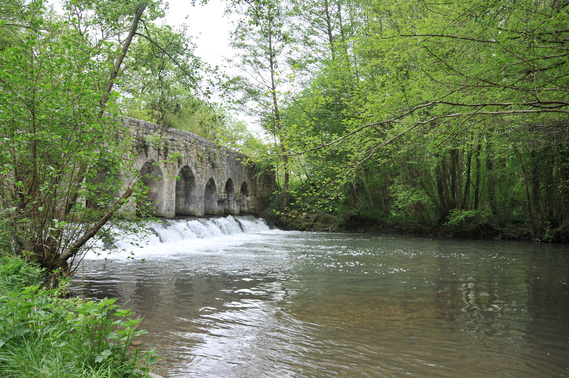
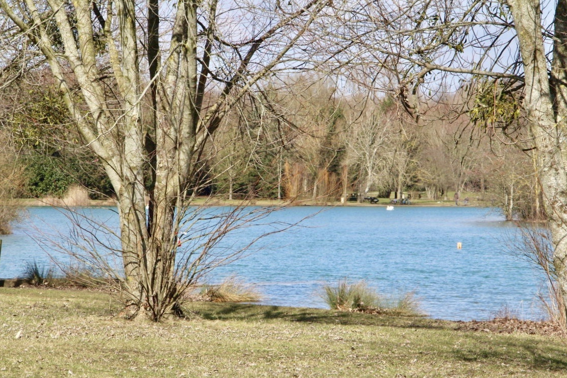
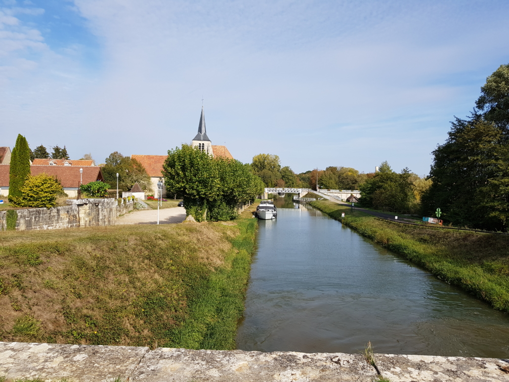
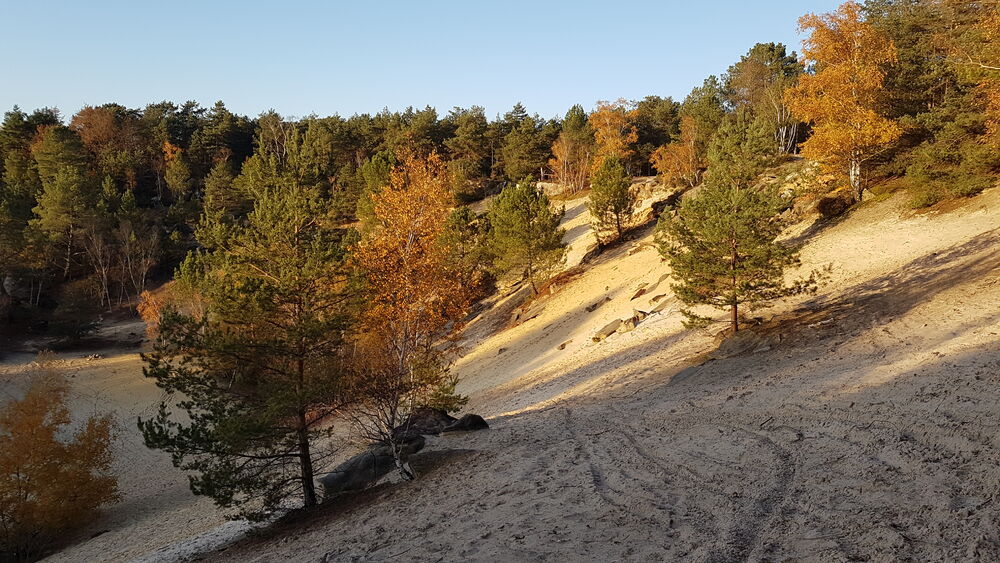
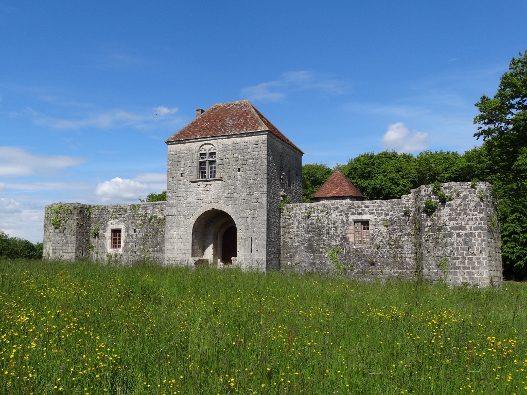
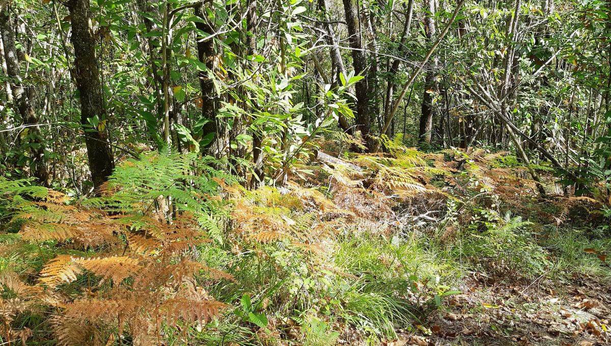
Easy walk in the forest of Montargis taking the "Montagneuse" road, known for its elevation. The paths are somewhat rectilinear, but it is always pleasant to stroll in this national forest populated by oaks, hornbeam and birch trees.

Already more than 200,000 users!
Uphill
127m
Highest point
148m
Downhill
127m
Lowest point
93m
Route type
Loop
Download the map on your smartphone to save battery and rest assured to always keep access to the route, even without signal.
Includes IGN France and Swisstopo.
I indicate whether dogs are allowed or prohibited on this trail
All year
0 ratings
Also enjoy:

Already more than 200,000 users!