Uphill
90m
Length
7km
Duration
2h
Elev gain
90m
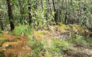
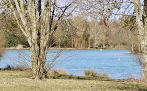
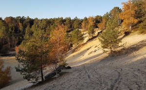
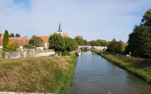
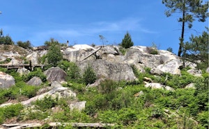
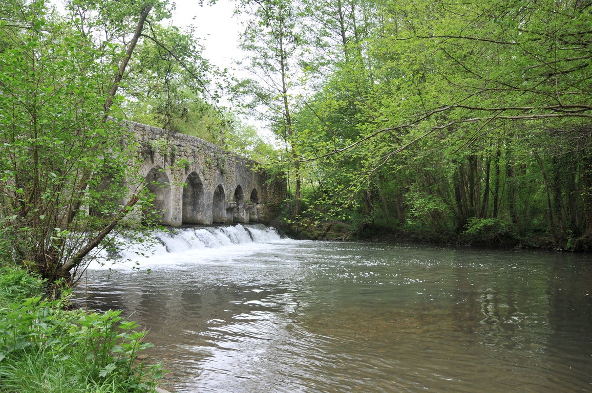
Departing from Griselles, this great walk begins by following the winding banks of the Cléry River. The route passes by the Tosset mill, a historic bridge, the Courvilaine farm and the Bois-le-Roi castle. The trail then rushes into the forest of Montargis then makes a loop to return to the starting point.

Already more than 200,000 users!
Uphill
90m
Highest point
129m
Downhill
90m
Lowest point
78m
Route type
Loop
Download the map on your smartphone to save battery and rest assured to always keep access to the route, even without signal.
Includes IGN France and Swisstopo.
I indicate whether dogs are allowed or prohibited on this trail
All year
0 ratings
Also enjoy:

Already more than 200,000 users!