Uphill
290m
France > Île-de-France > Seine-et-Marne
Length
17km
Duration
5h
Elev gain
290m
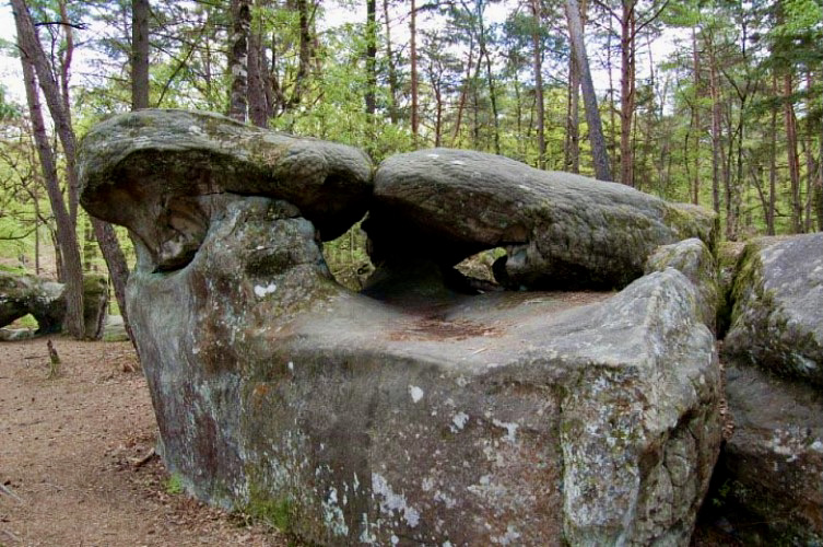
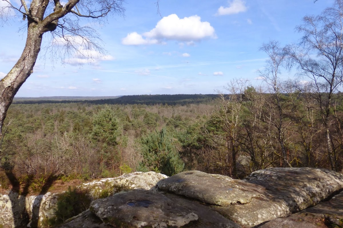
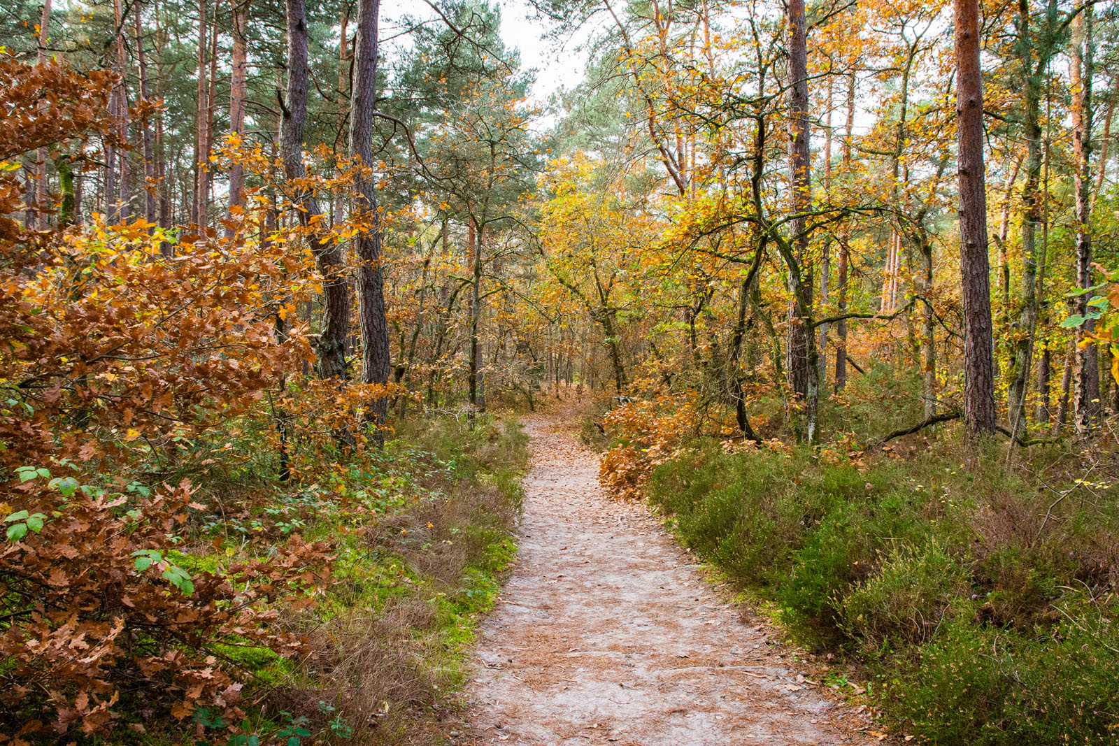
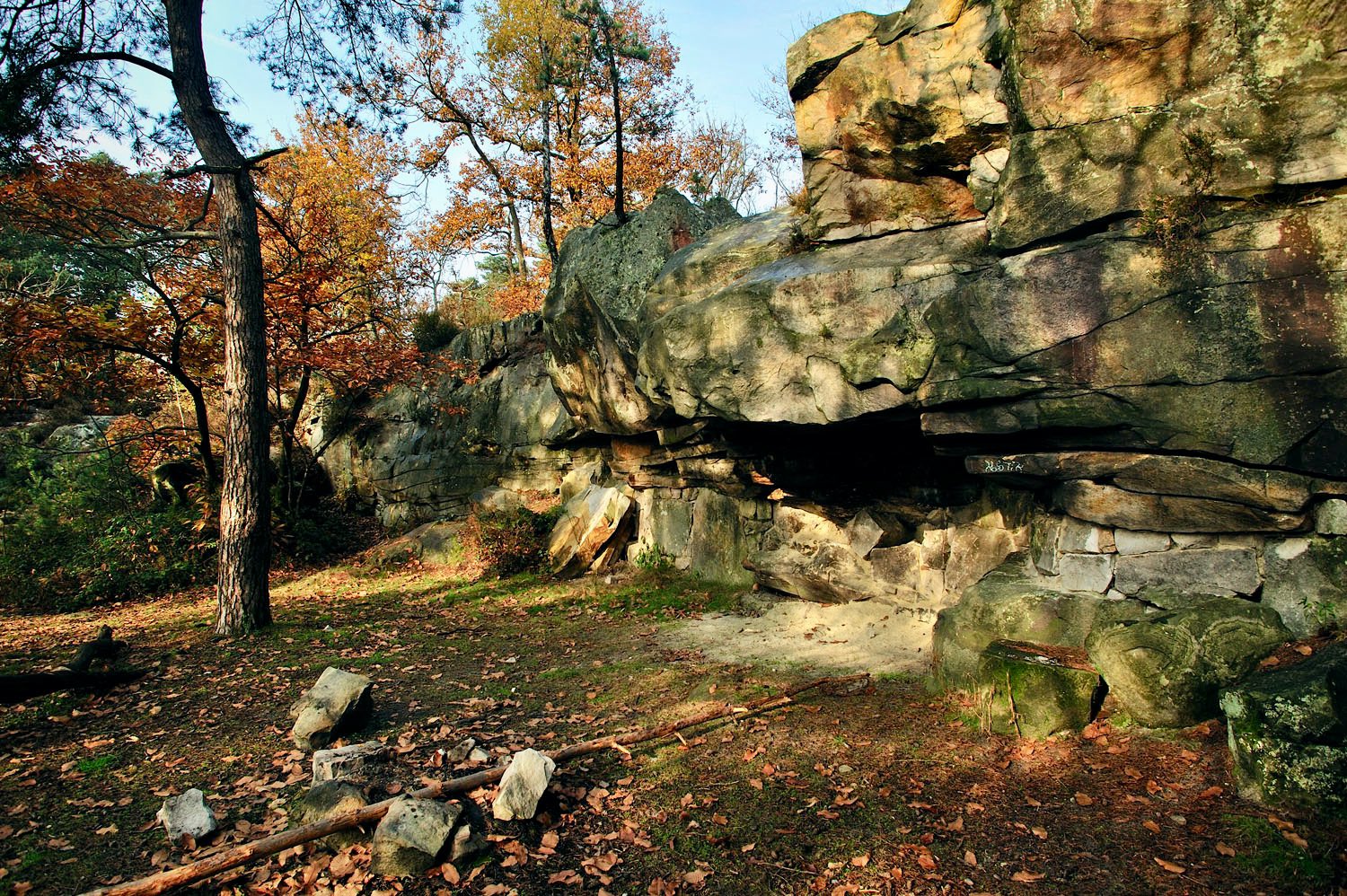
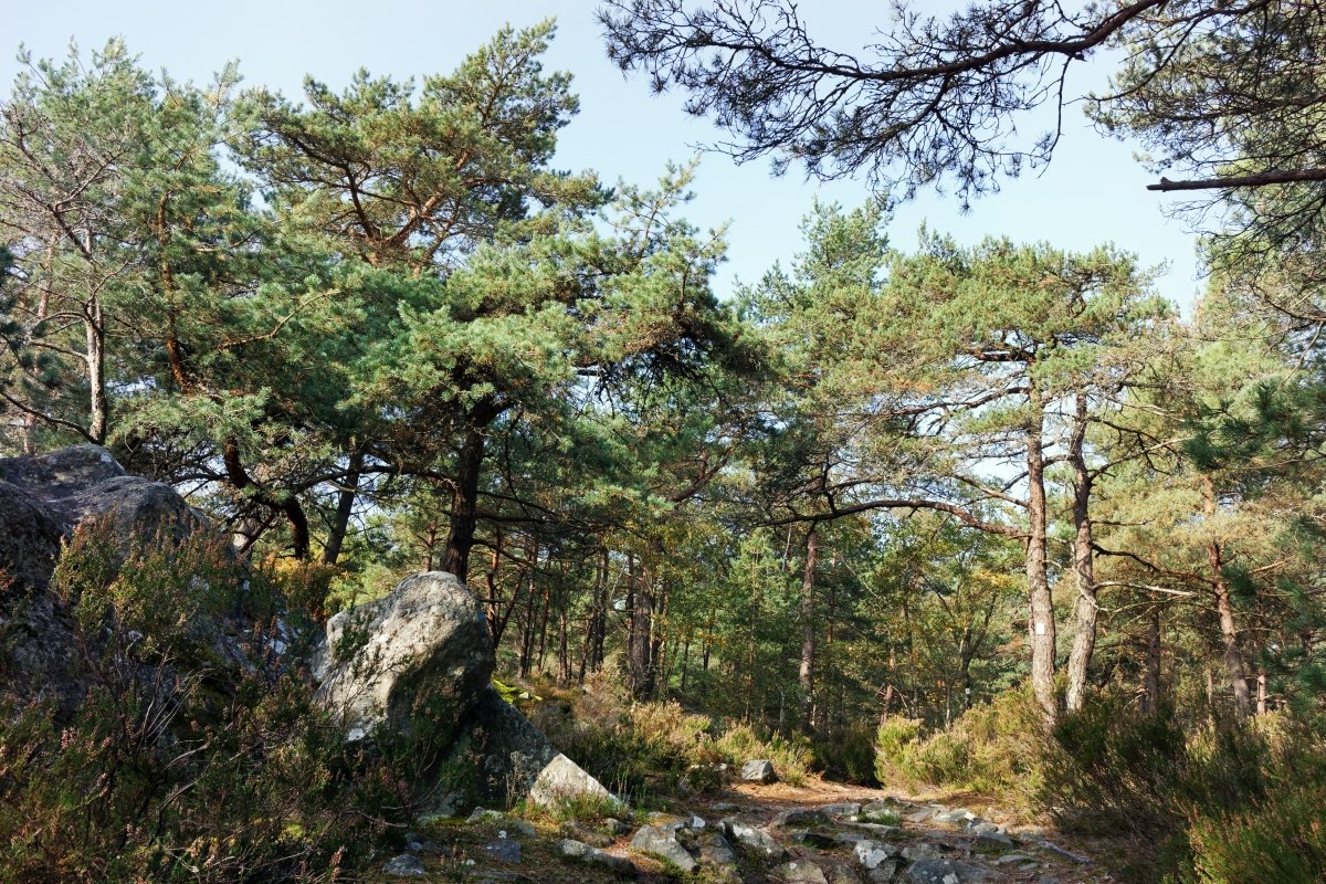
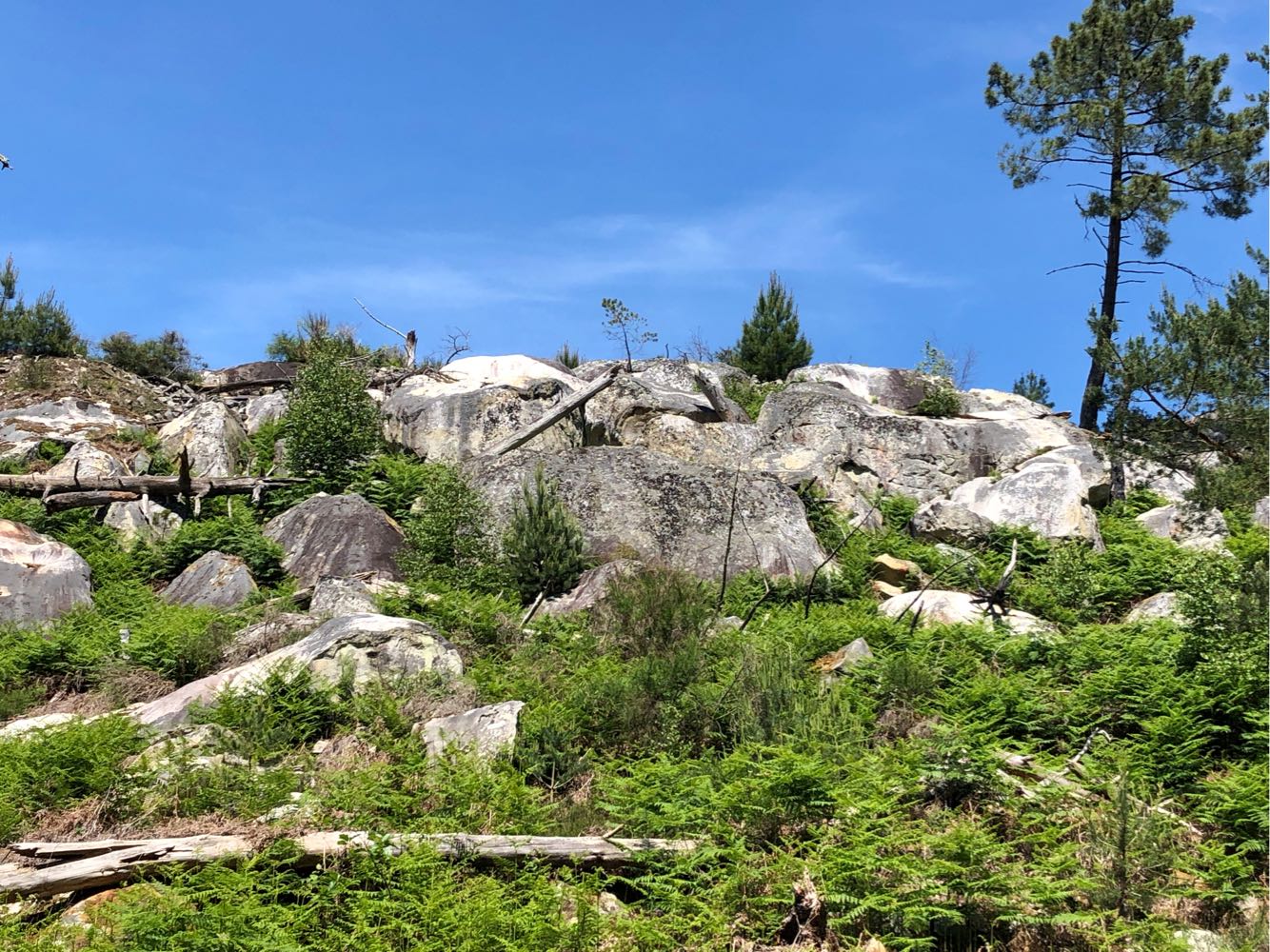
Walk in the forest of Fontainebleau which passes by the rock of the Etroitures and the Mare aux Fées, one of the most famous ponds of the forest. The trail then joins the Mont Merle biological reserve, then the Rochet des Princes.

Already more than 200,000 users!
Uphill
290m
Highest point
142m
Downhill
290m
Lowest point
80m
Route type
Loop
Download the map on your smartphone to save battery and rest assured to always keep access to the route, even without signal.
Includes IGN France and Swisstopo.
I indicate whether dogs are allowed or prohibited on this trail
All year
1 rating
Also enjoy:

Already more than 200,000 users!