Uphill
43m
Length
6km
Duration
1h30min
Elev gain
43m
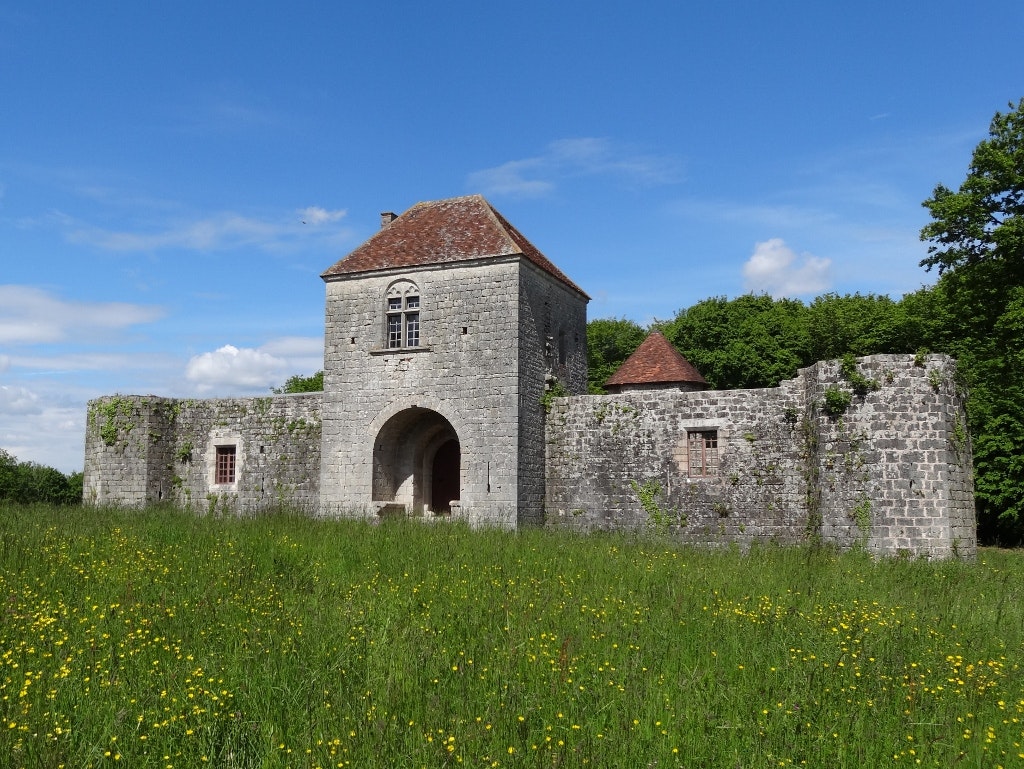
Popular walk near Arrabloy, in the Loiret. This family outing begins at the Château d'Arrabloy then loops through a beautiful forest dotted with pretty ponds. A course without any difficulty that will satisfy young and old.

Already more than 200,000 users!
Uphill
43m
Highest point
201m
Downhill
43m
Lowest point
171m
Route type
Loop
Download the map on your smartphone to save battery and rest assured to always keep access to the route, even without signal.
Includes IGN France and Swisstopo.
I indicate whether dogs are allowed or prohibited on this trail
All year
0 ratings
Also enjoy:

Already more than 200,000 users!


