Uphill
39m
Length
8km
Duration
2h
Elev gain
39m
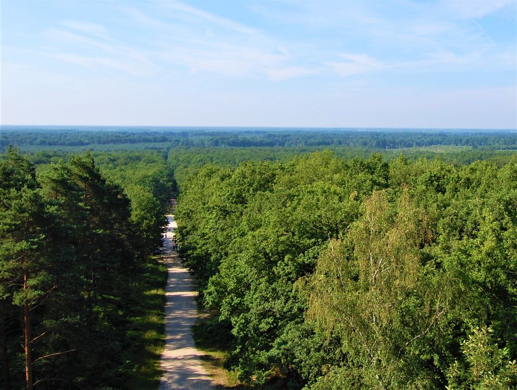
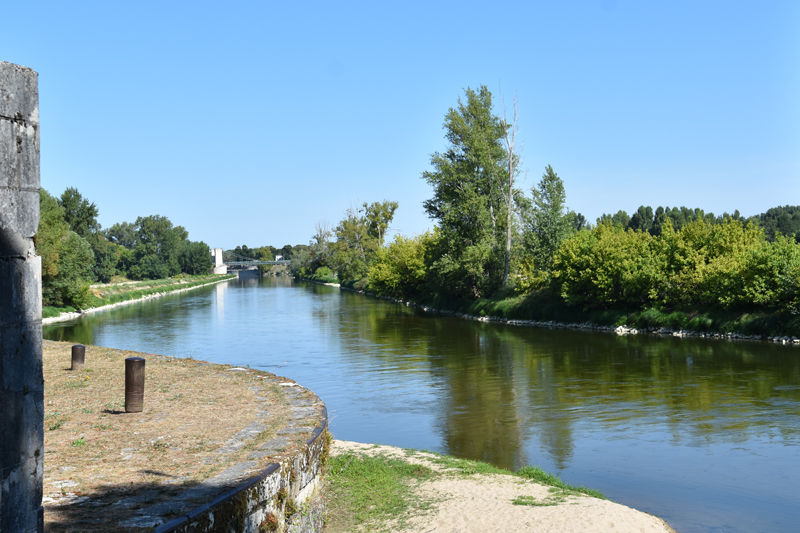
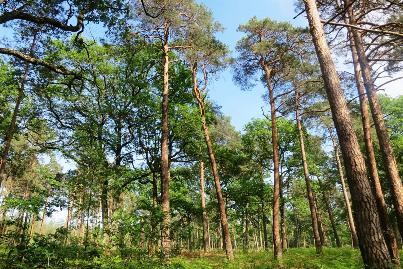
In the heart of the Orleans forest, this trail allows you to discover springs arranged as fountains, testifying to the royal past of the forest, as well as a memorial to the resistance of the Second World War. The trail is very well marked by the ONF.

Already more than 200,000 users!
Uphill
39m
Highest point
174m
Downhill
39m
Lowest point
146m
Route type
Loop
Download the map on your smartphone to save battery and rest assured to always keep access to the route, even without signal.
Includes IGN France and Swisstopo.
I indicate whether dogs are allowed or prohibited on this trail
All year
0 ratings
Also enjoy:

Already more than 200,000 users!