Uphill
63m
France > Centre-Val de Loire > Eure-et-Loir
Length
5km
Duration
1h30min
Elev gain
63m
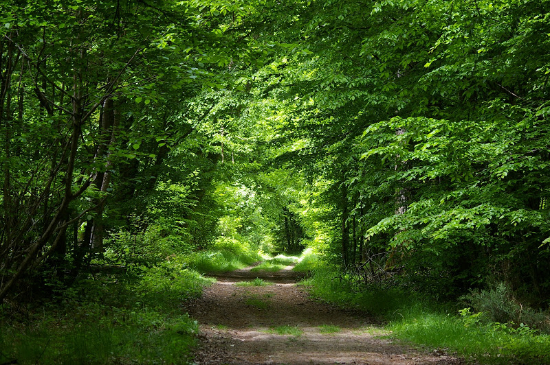
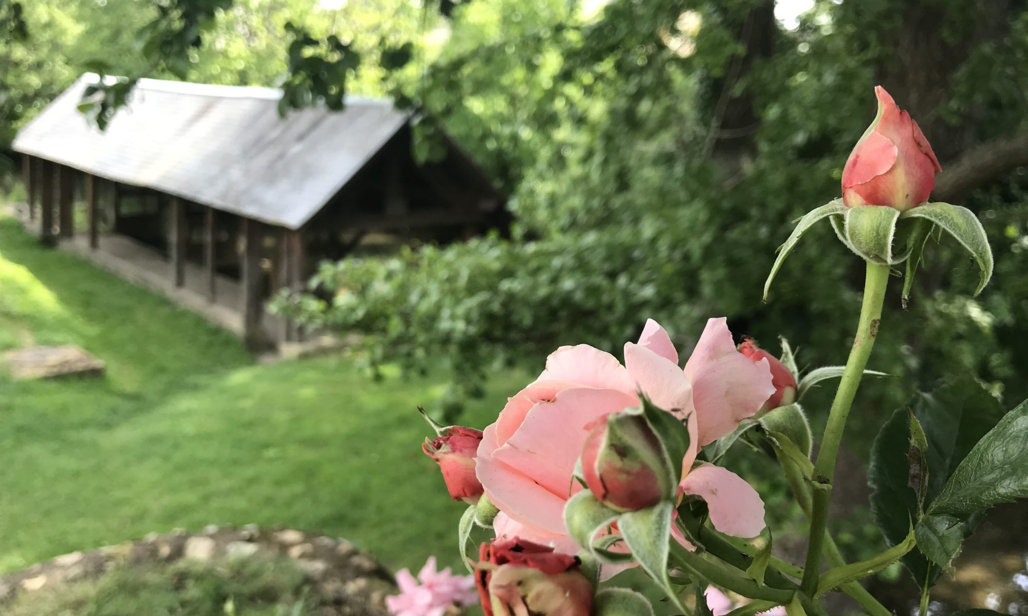
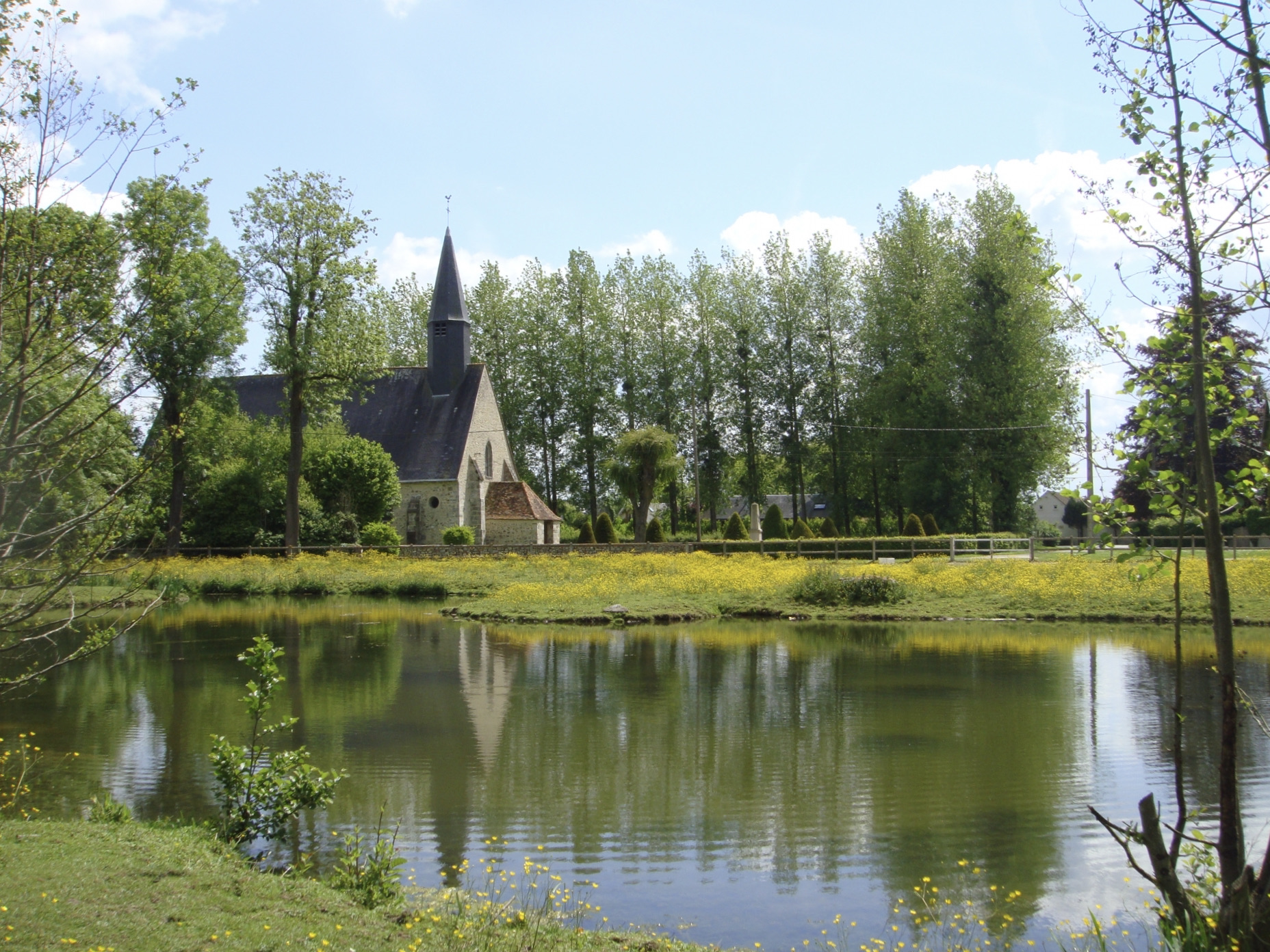
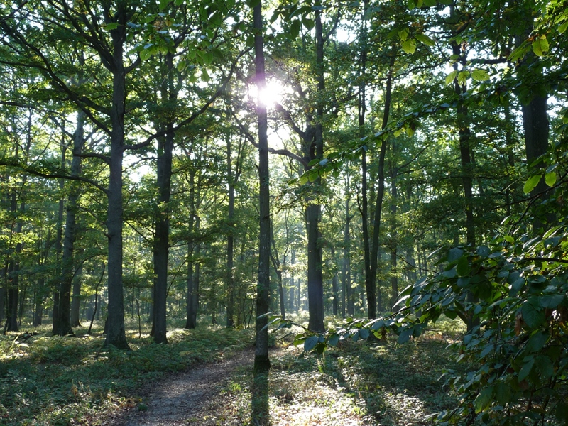
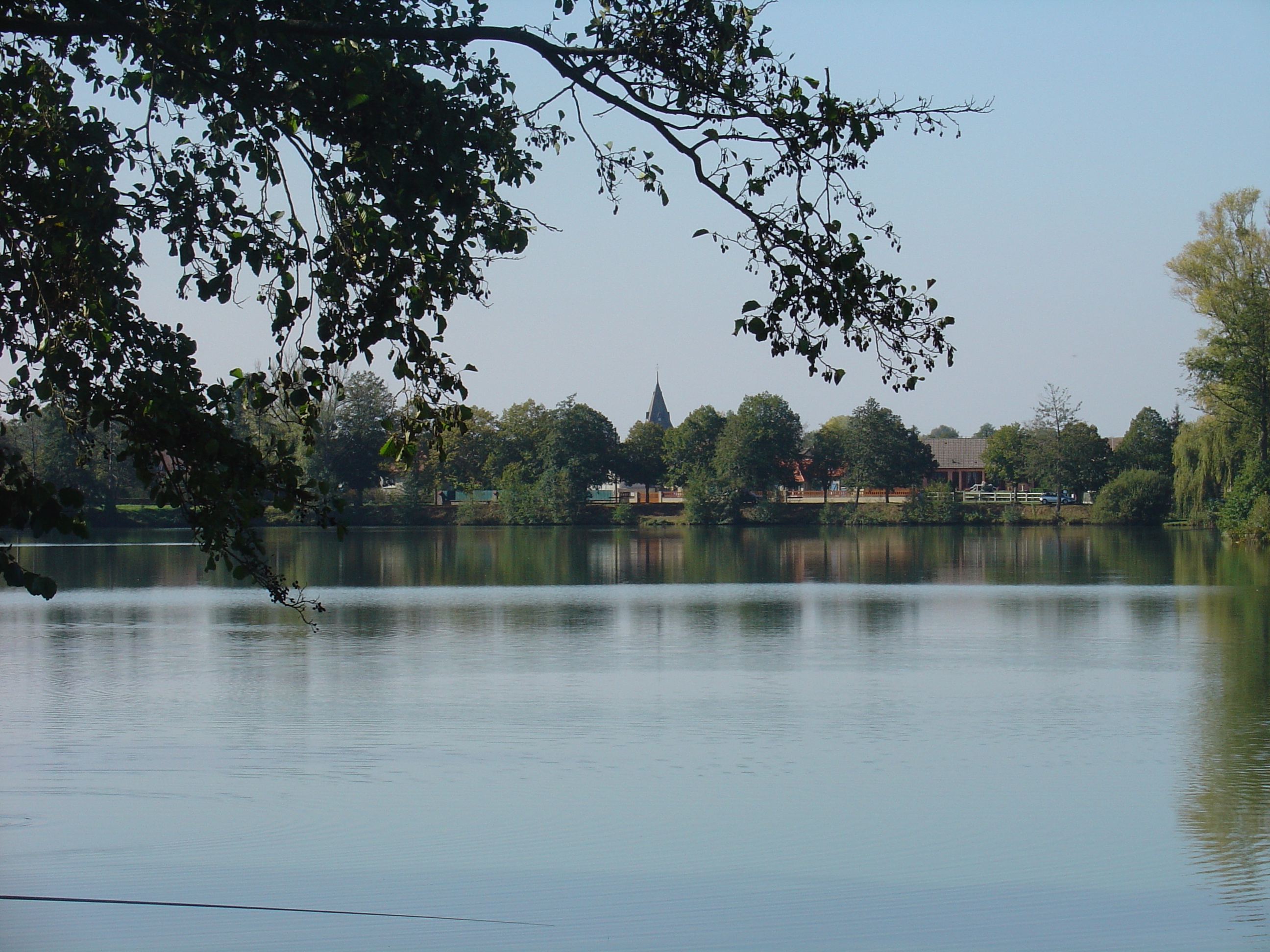
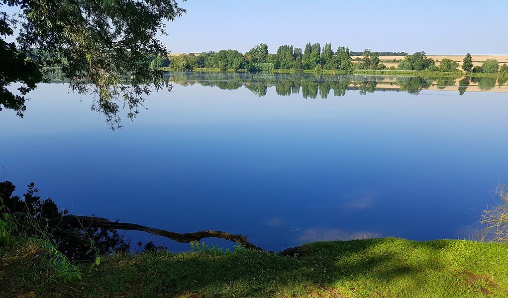
Looking for a short stroll by the water? There it is. This route makes a nice loop around the lake of Mézières-Ecluzelles, offering beautiful views of the latter.

Already more than 200,000 users!
Uphill
63m
Highest point
99m
Downhill
63m
Lowest point
67m
Route type
Loop
Download the map on your smartphone to save battery and rest assured to always keep access to the route, even without signal.
Includes IGN France and Swisstopo.
I indicate whether dogs are allowed or prohibited on this trail
All year
0 ratings
Also enjoy:

Already more than 200,000 users!