Uphill
227m
Length
12km
Duration
3h30min
Elev gain
227m
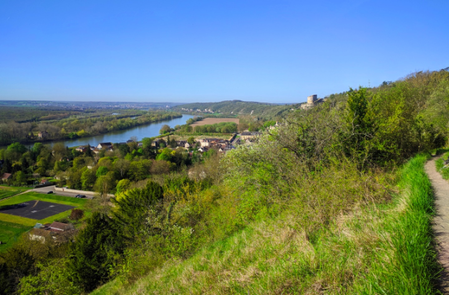
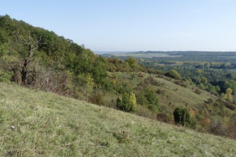
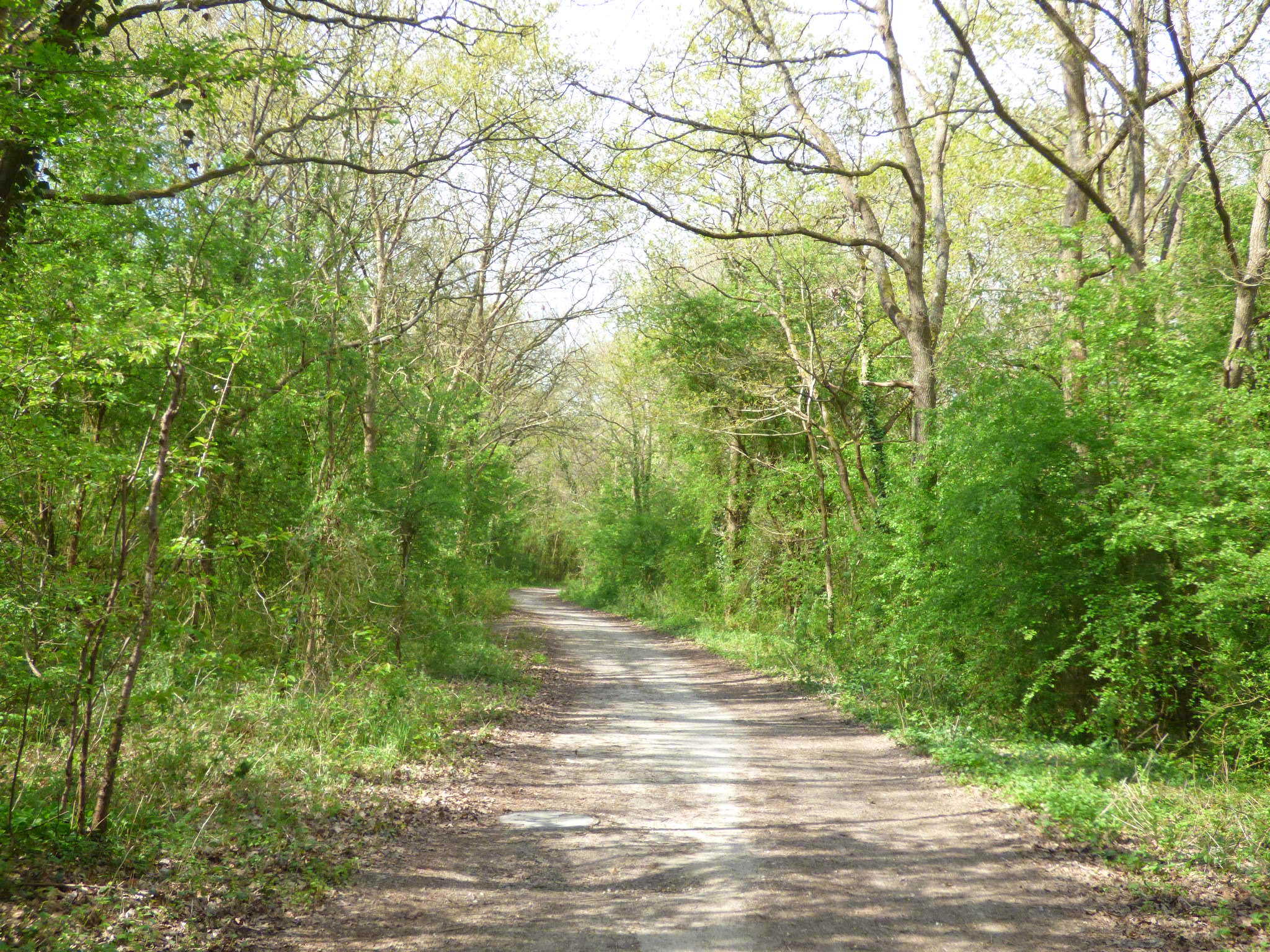
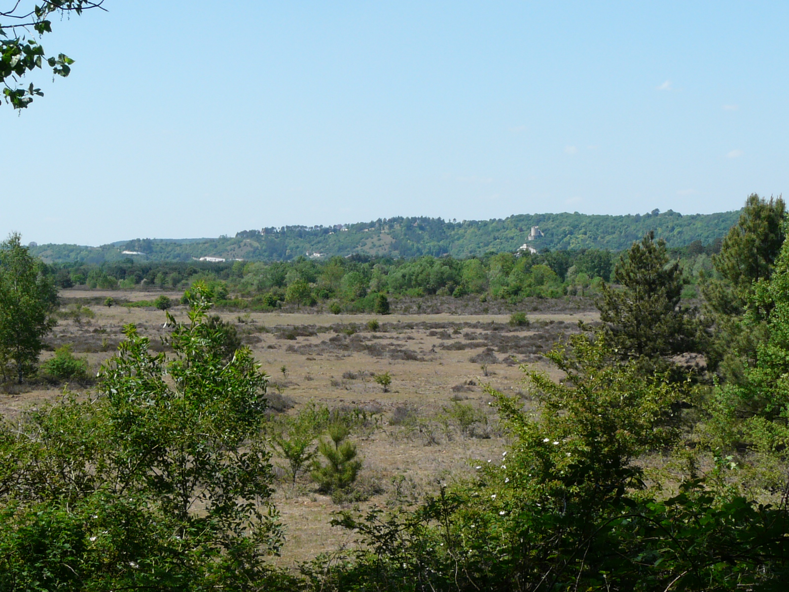
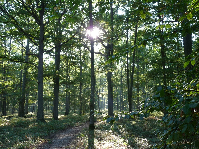
Walk in the forest of Rosny, mainly populated with oaks and crossed by a river. Note that the massif has many paths, which allows you to adjust the length of the course as you wish.

Already more than 200,000 users!
Uphill
227m
Highest point
164m
Downhill
227m
Lowest point
73m
Route type
Loop
Download the map on your smartphone to save battery and rest assured to always keep access to the route, even without signal.
Includes IGN France and Swisstopo.
I indicate whether dogs are allowed or prohibited on this trail
All year
0 ratings
Also enjoy:

Already more than 200,000 users!