Uphill
91m
Length
9km
Duration
2h30min
Elev gain
91m
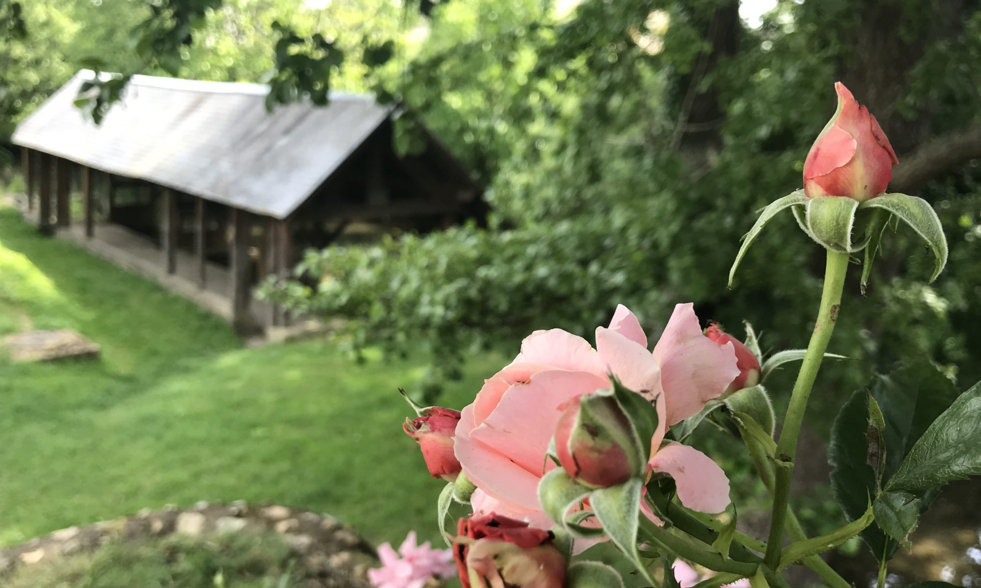
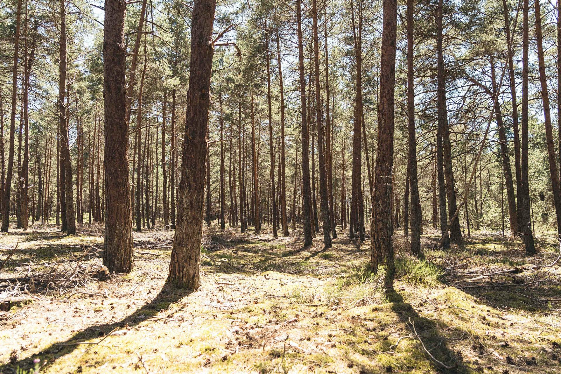
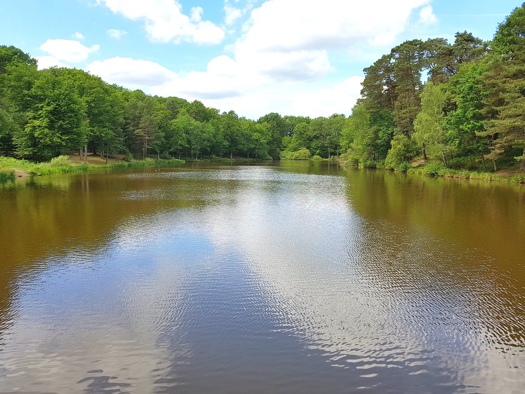
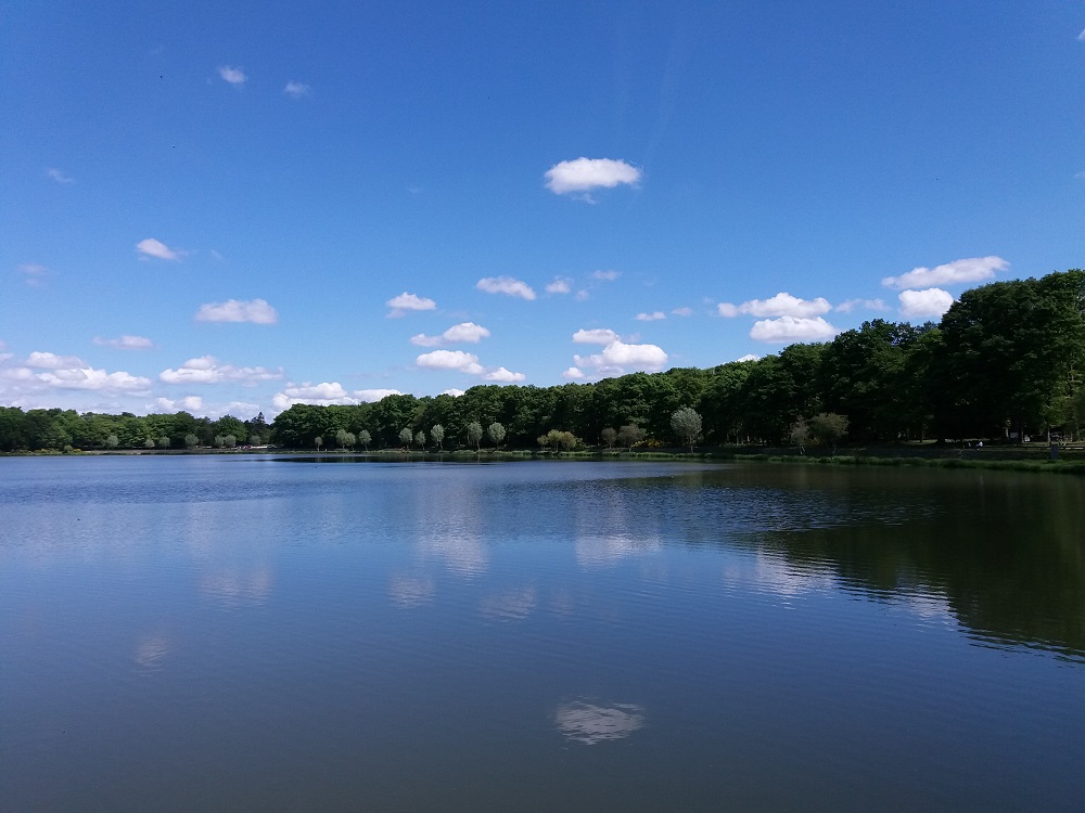
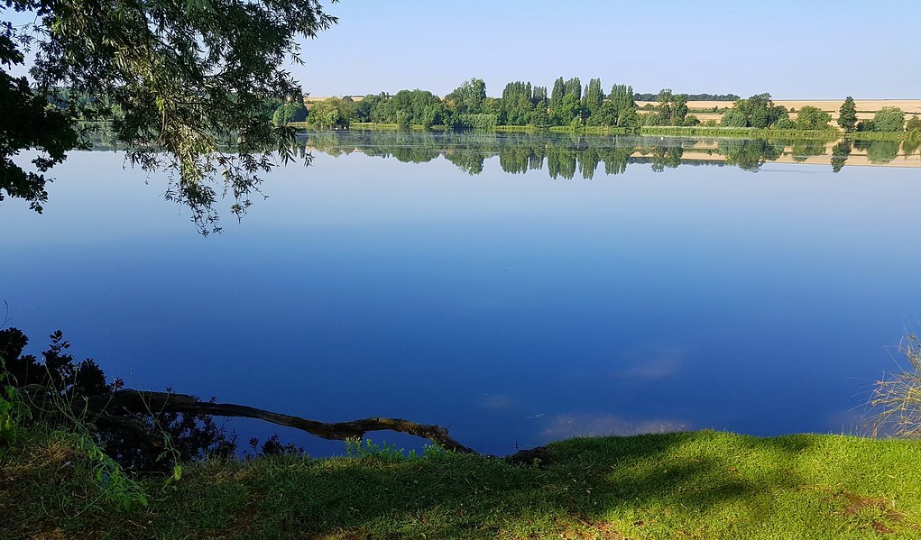
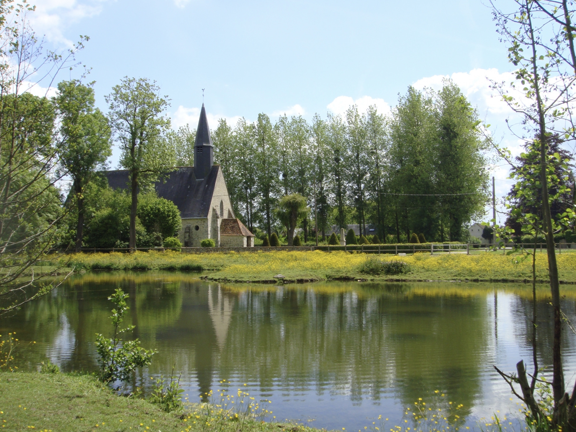
Departing from Saint-Lucien, this walk makes a long loop between fields and forest, offering beautiful landscapes typical of the area.

Already more than 200,000 users!
Uphill
91m
Highest point
206m
Downhill
91m
Lowest point
116m
Route type
Loop
Download the map on your smartphone to save battery and rest assured to always keep access to the route, even without signal.
Includes IGN France and Swisstopo.
I indicate whether dogs are allowed or prohibited on this trail
All year
1 rating
Sentier comportant un chemin qui semblerait être privé donc impossible de faire la boucle
Donc juste peux déçu
Toutefois balade agréable
Also enjoy:

Already more than 200,000 users!