Uphill
177m
Length
23km
Duration
6h
Elev gain
177m
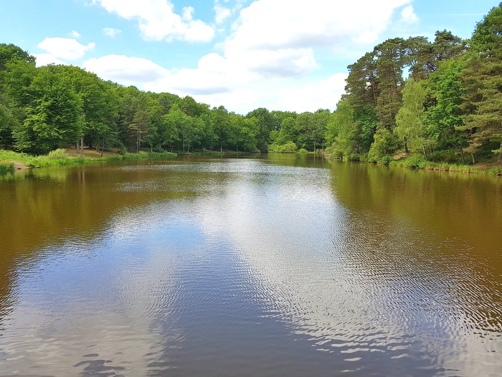
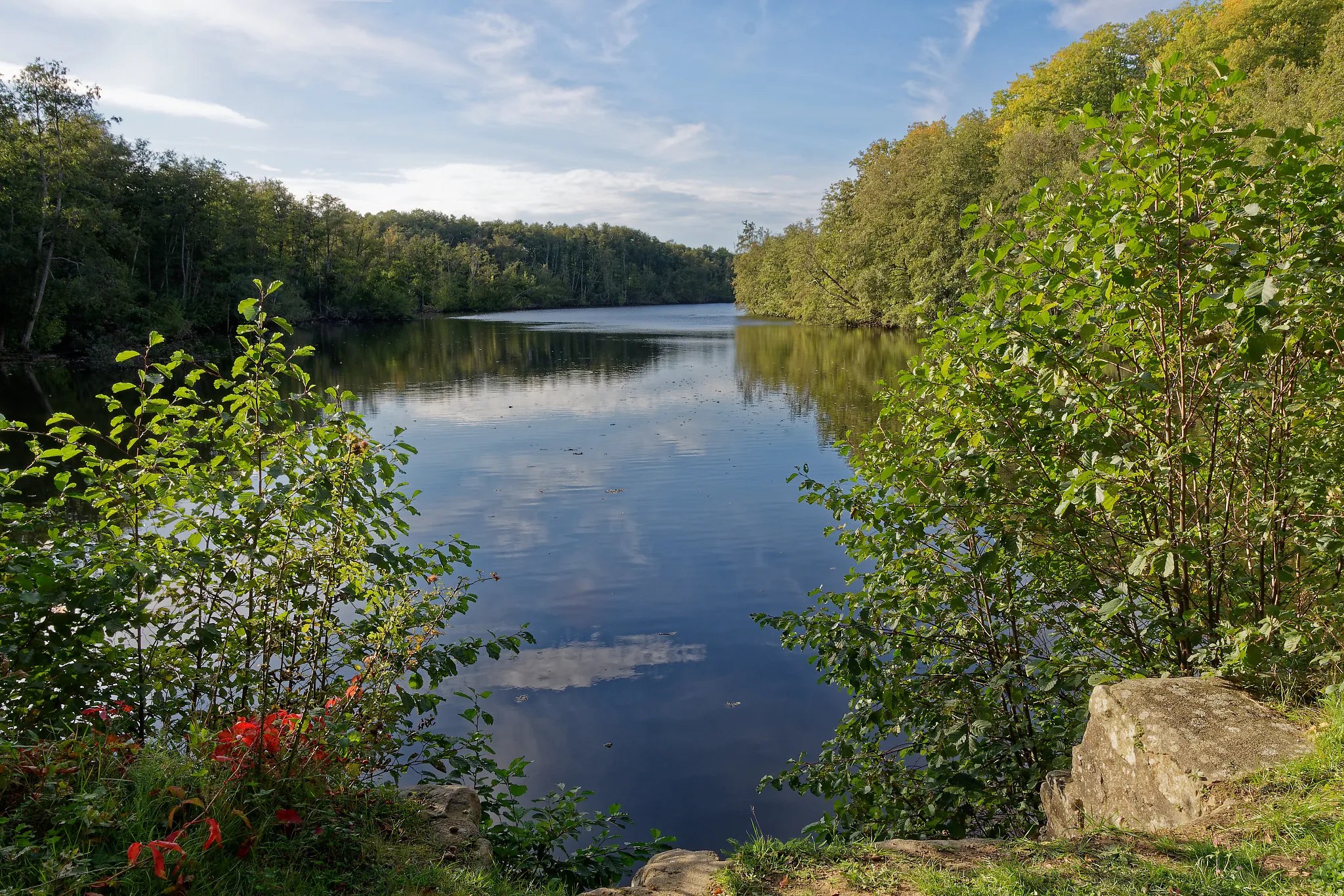
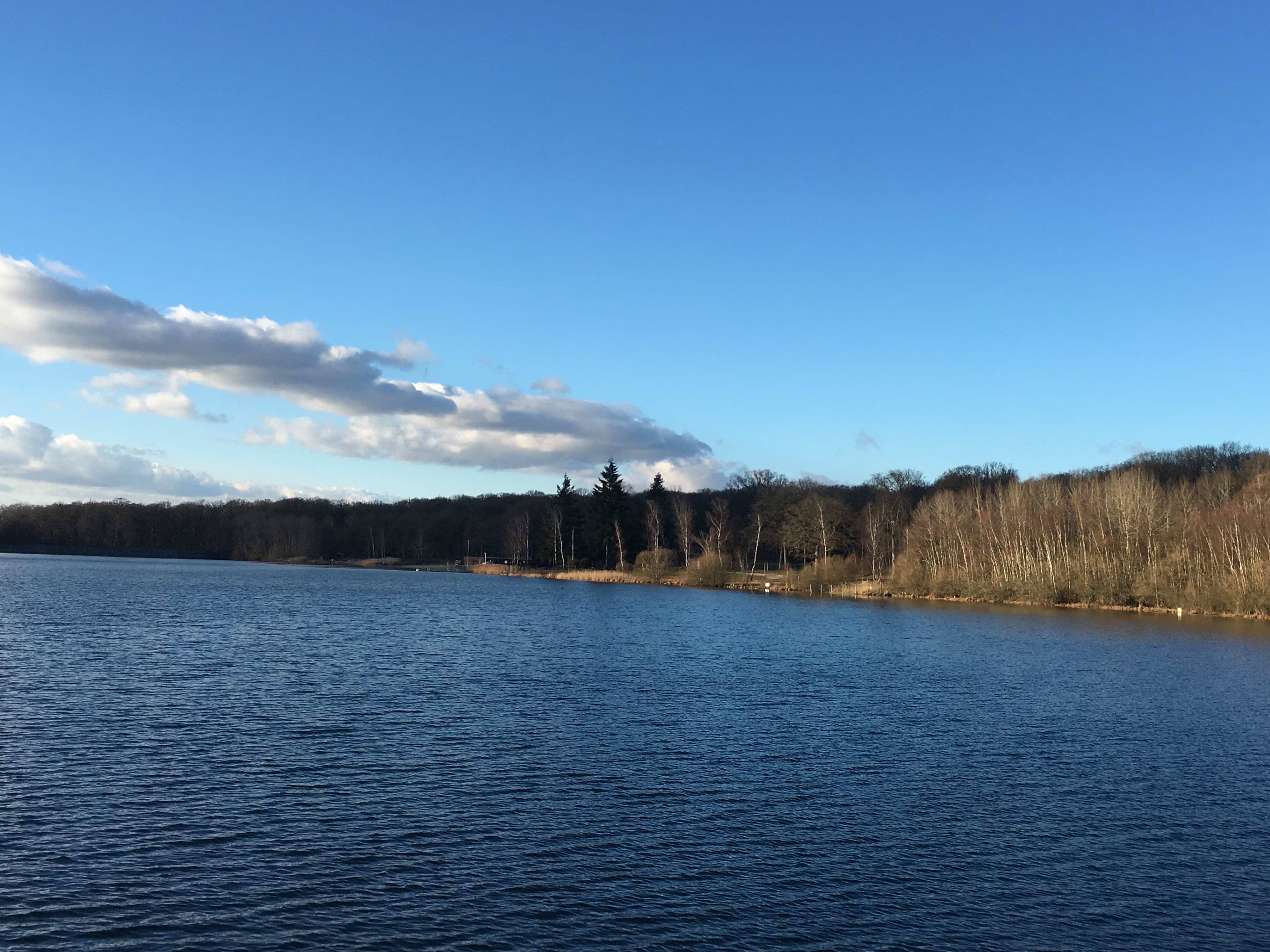
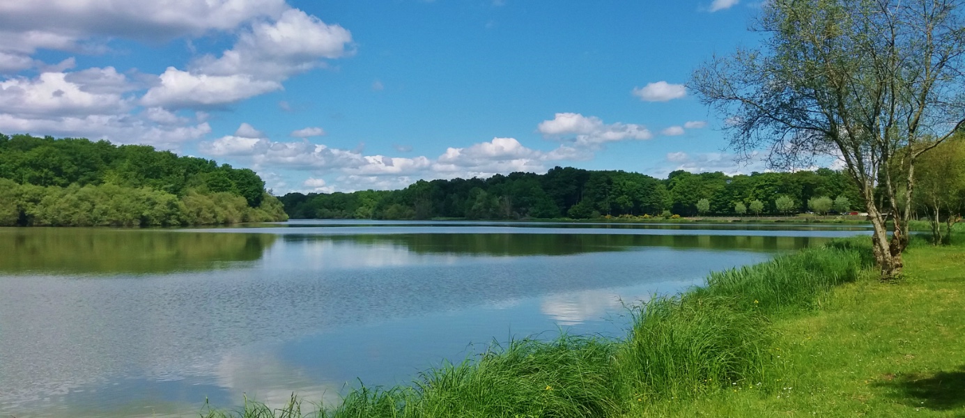
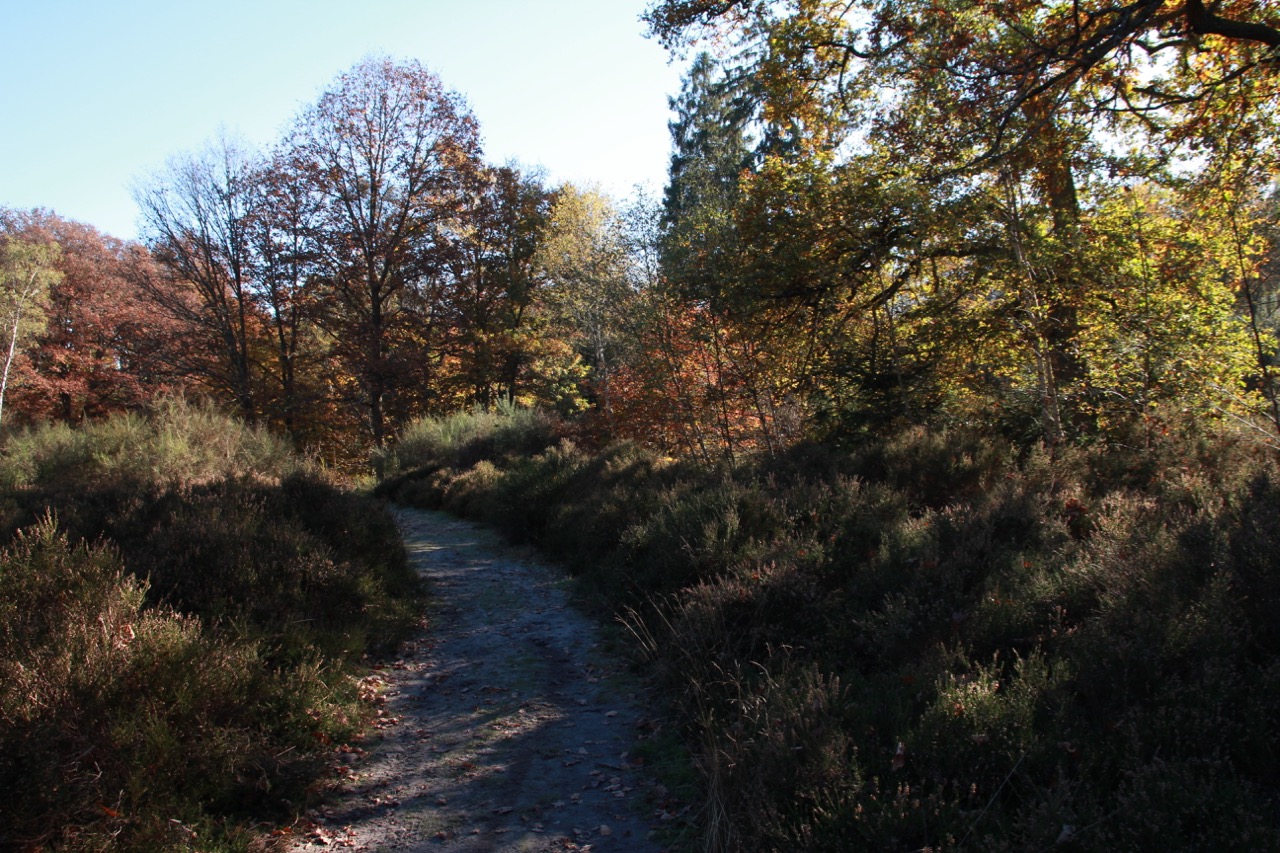
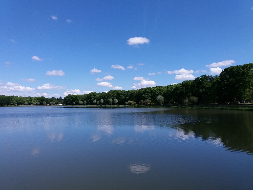
Leaving from Rambouillet train station, this walk allows you to discover different ponds surrounding the city, the forest, and then finish with the park of the castle. Note that there are some sections where you need to walk along the road.

Already more than 200,000 users!
Uphill
177m
Highest point
192m
Downhill
177m
Lowest point
131m
Route type
Loop
Download the map on your smartphone to save battery and rest assured to always keep access to the route, even without signal.
Includes IGN France and Swisstopo.
I indicate whether dogs are allowed or prohibited on this trail
All year
2 ratings
Also enjoy:

Already more than 200,000 users!