Uphill
29m
France > Île-de-France > Yvelines > Haute Vallée de Chevreuse Regional Natural Park
Length
5km
Duration
1h
Elev gain
29m
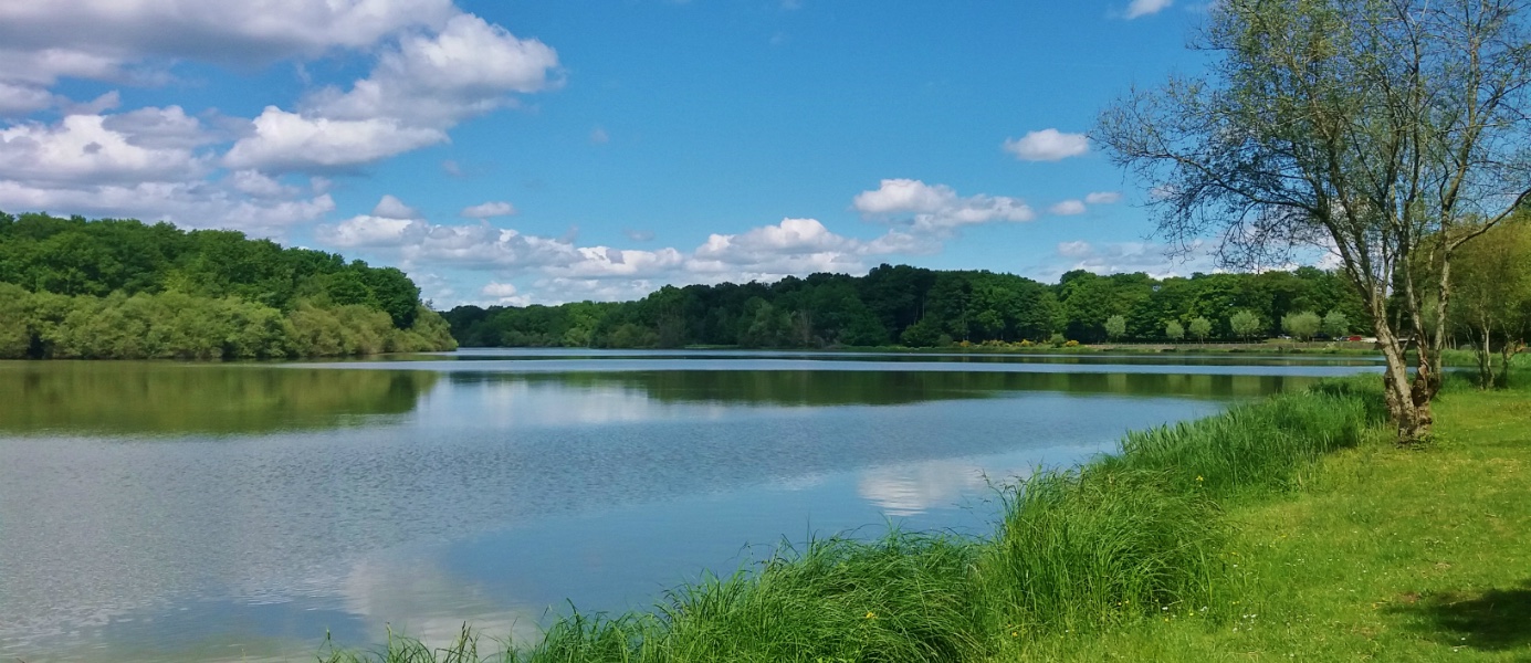
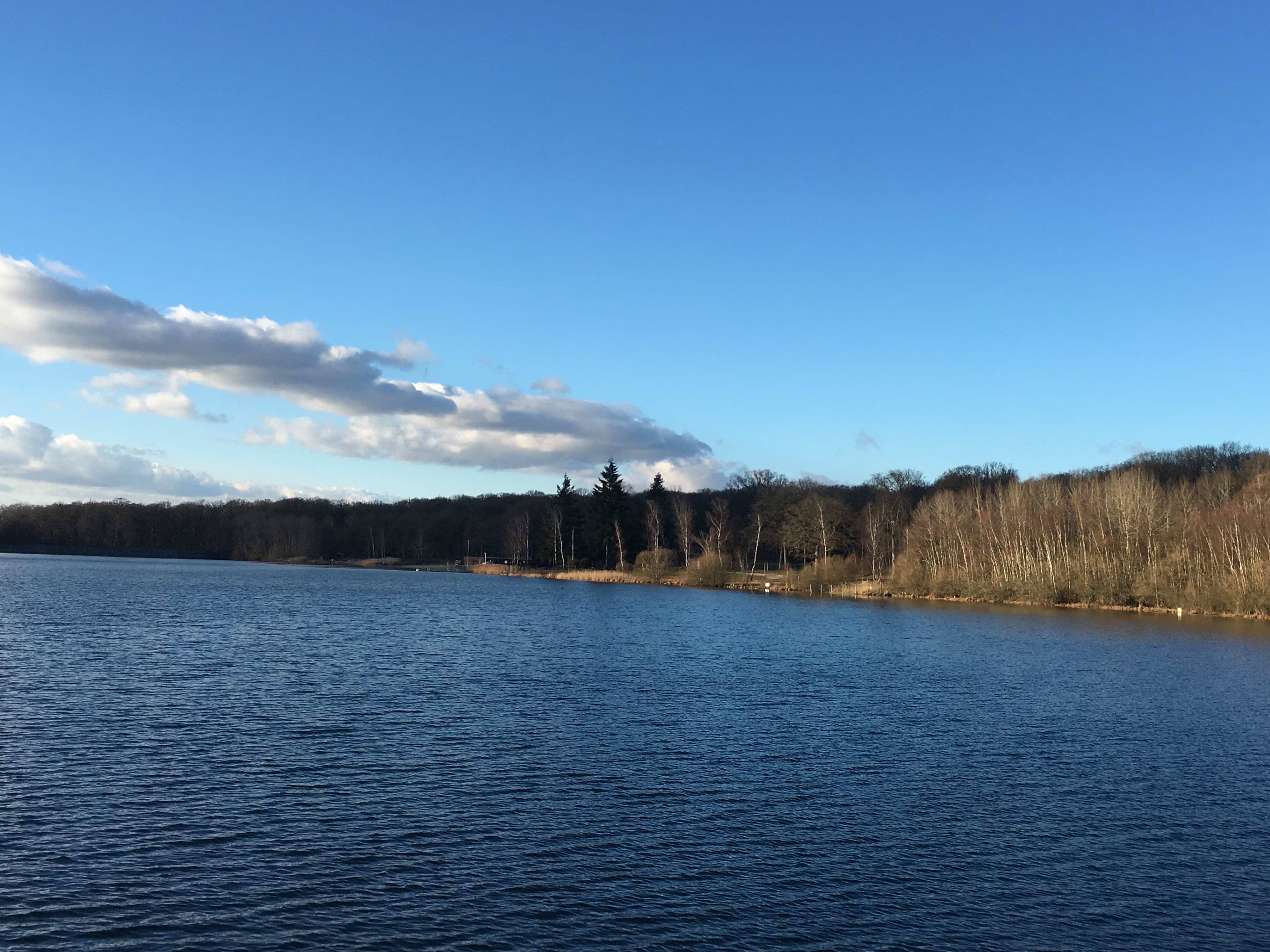
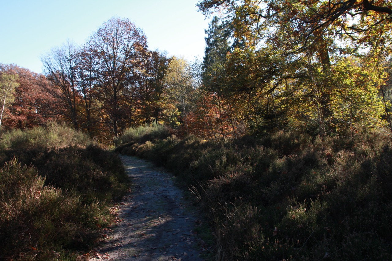
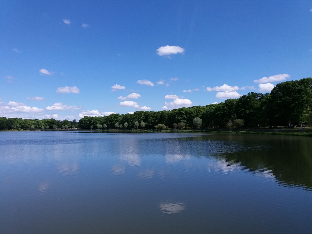
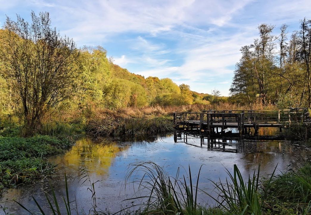
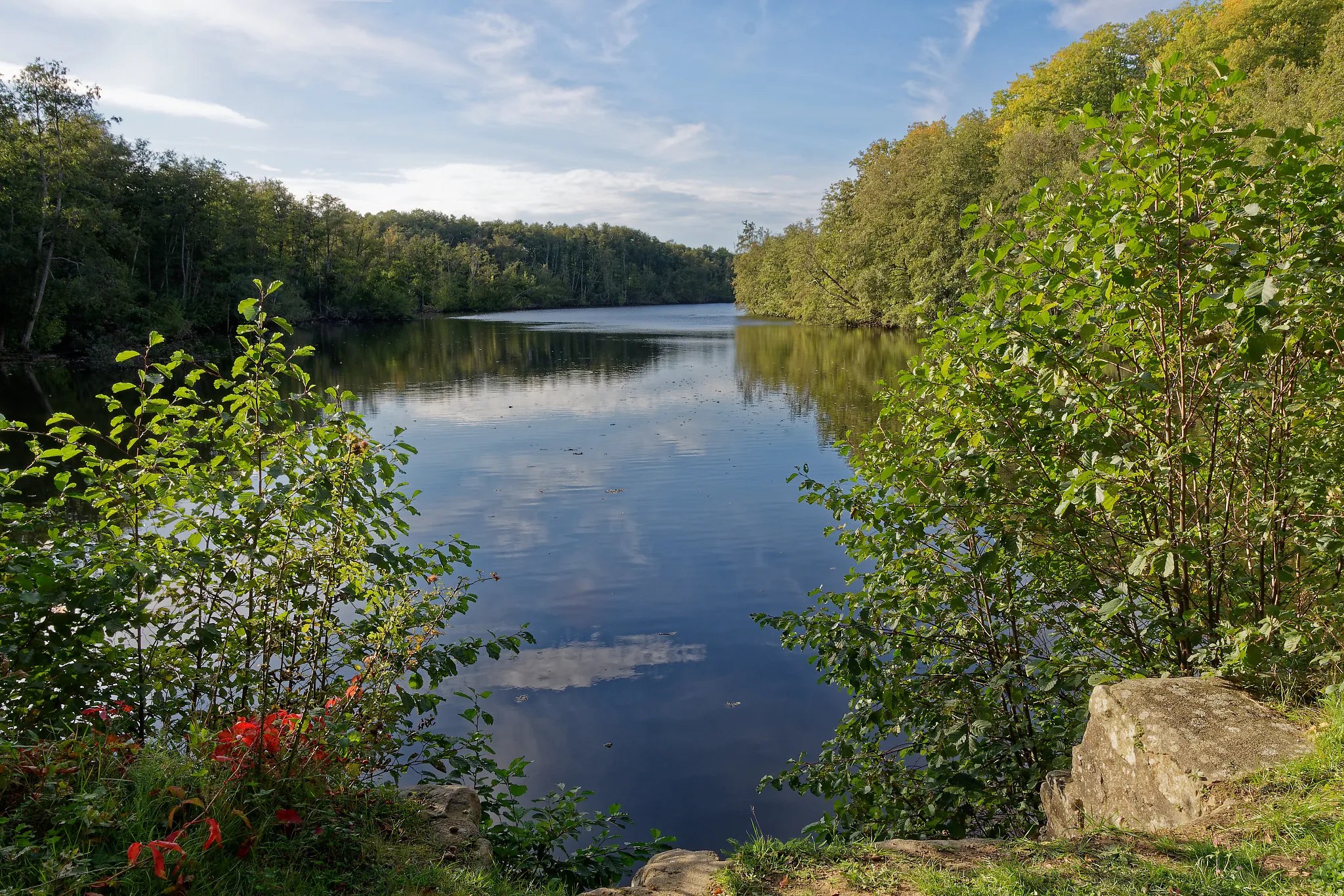
Departing from Vieille-Église-en-Yvelines, this is an easy walk in the forest and around the Tour pond.
Note that the place can be relatively muddy depending on the weather.

Already more than 200,000 users!
Uphill
29m
Highest point
180m
Downhill
29m
Lowest point
156m
Route type
Loop
Download the map on your smartphone to save battery and rest assured to always keep access to the route, even without signal.
Includes IGN France and Swisstopo.
I indicate whether dogs are allowed or prohibited on this trail
All year
0 ratings
Also enjoy:

Already more than 200,000 users!