Uphill
303m
France > Île-de-France > Yvelines > Haute Vallée de Chevreuse Regional Natural Park
Length
22km
Duration
6h30min
Elev gain
303m
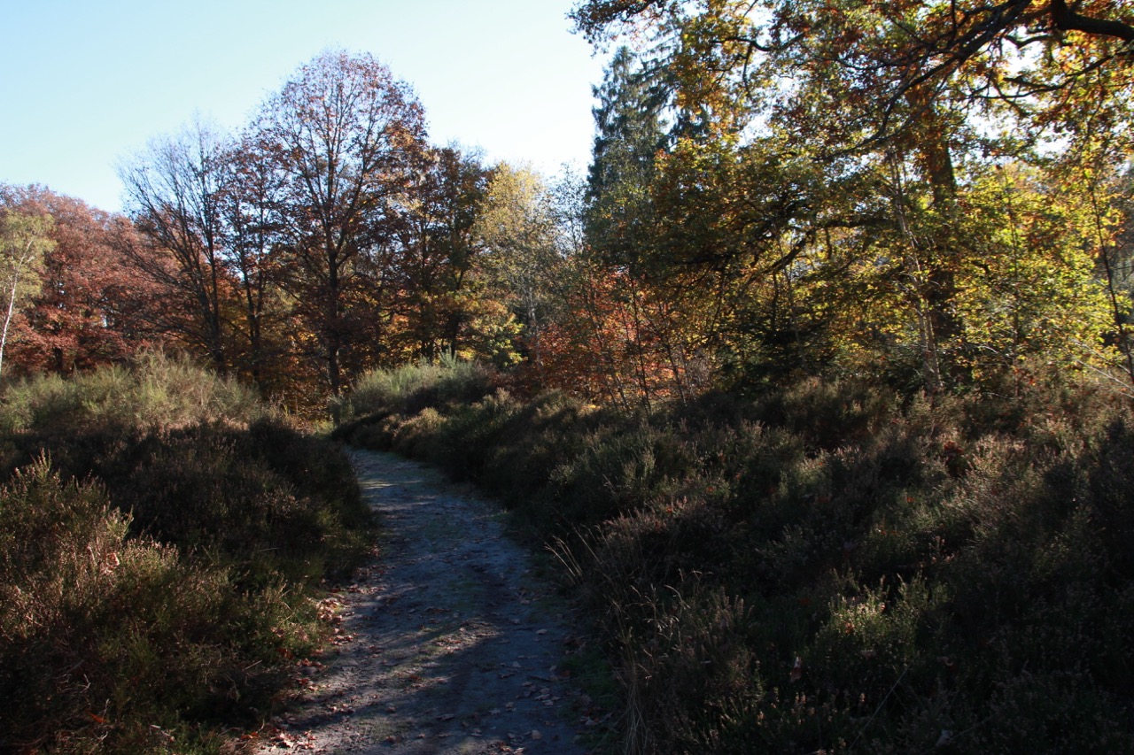
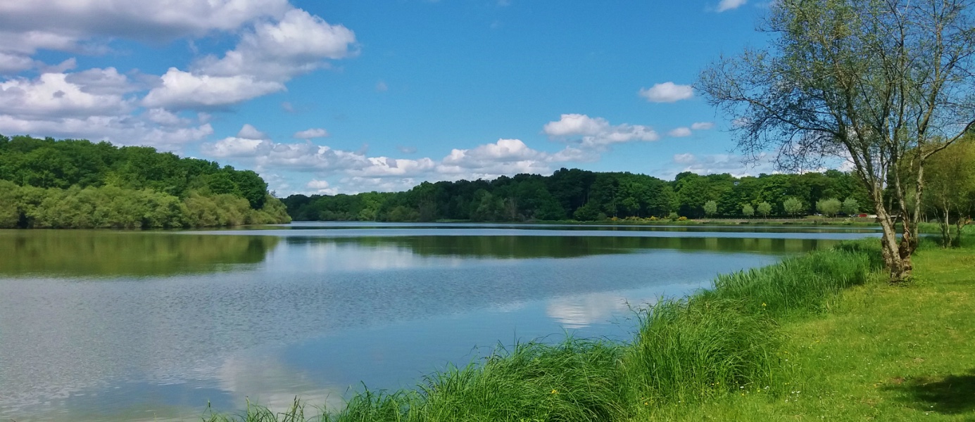
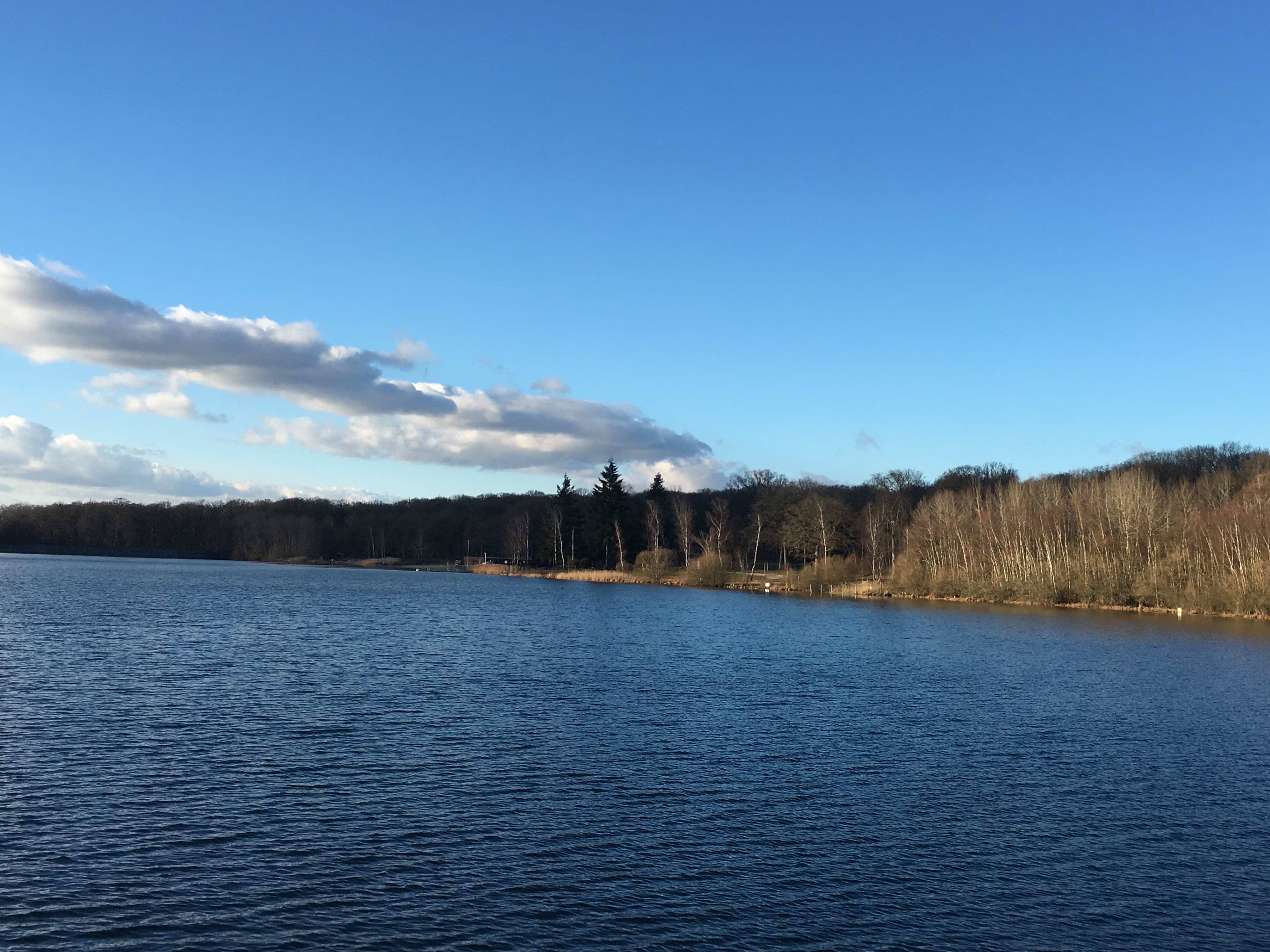
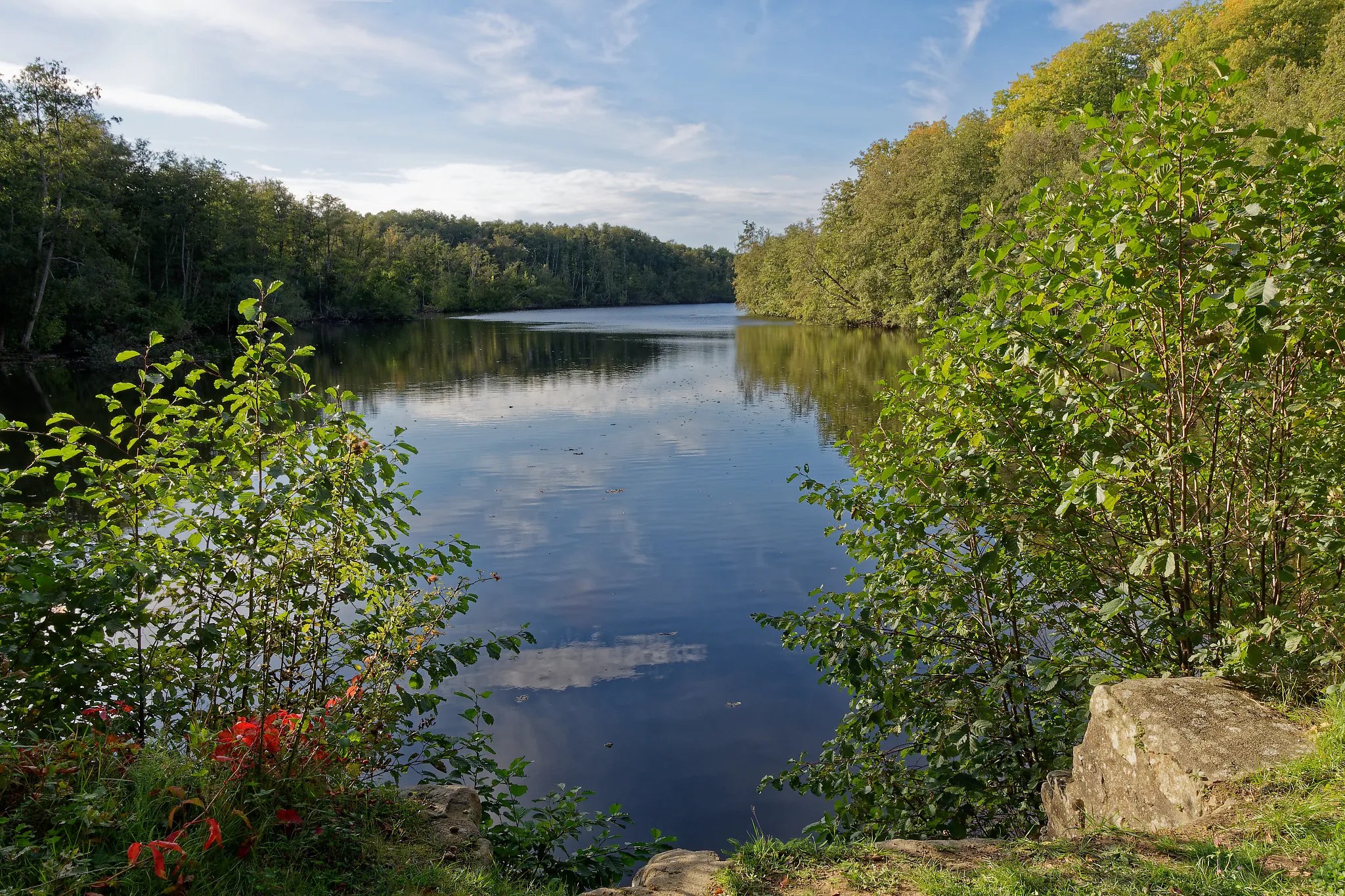
Long hike between Essarts-le-Roi station and Saint-Rémy-lès-Chevreuse station.
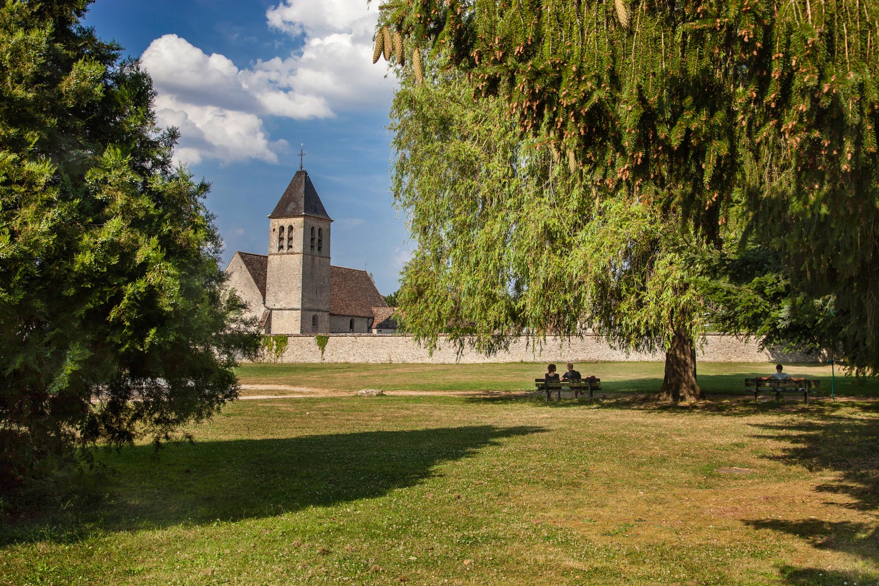
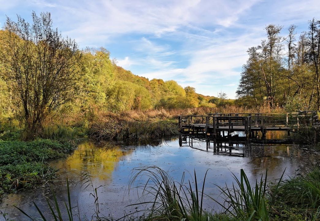
The path crosses many forests, hamlets, and allows you to discover the source of the Yvette, the marshes of Maincourt, and finally Chevreuse.

Already more than 200,000 users!
Uphill
303m
Highest point
183m
Downhill
386m
Lowest point
75m
Route type
One way
Download the map on your smartphone to save battery and rest assured to always keep access to the route, even without signal.
Includes IGN France and Swisstopo.
Gare d'Essarts-le-Roi (Transilien N).
Gare de Saint-Rémy-lès-Chevreuse (RER B).
I indicate whether dogs are allowed or prohibited on this trail
All year
1 rating
Also enjoy:

Already more than 200,000 users!