Uphill
273m
France > Île-de-France > Yvelines > Haute Vallée de Chevreuse Regional Natural Park
Length
16km
Duration
4h30min
Elev gain
273m
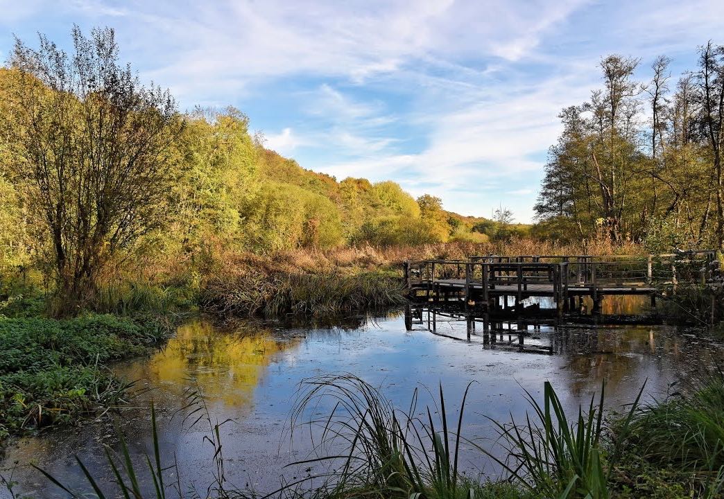
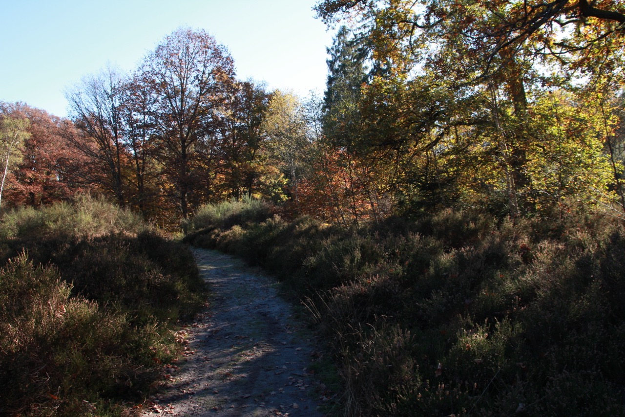
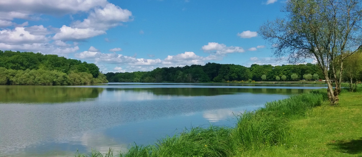
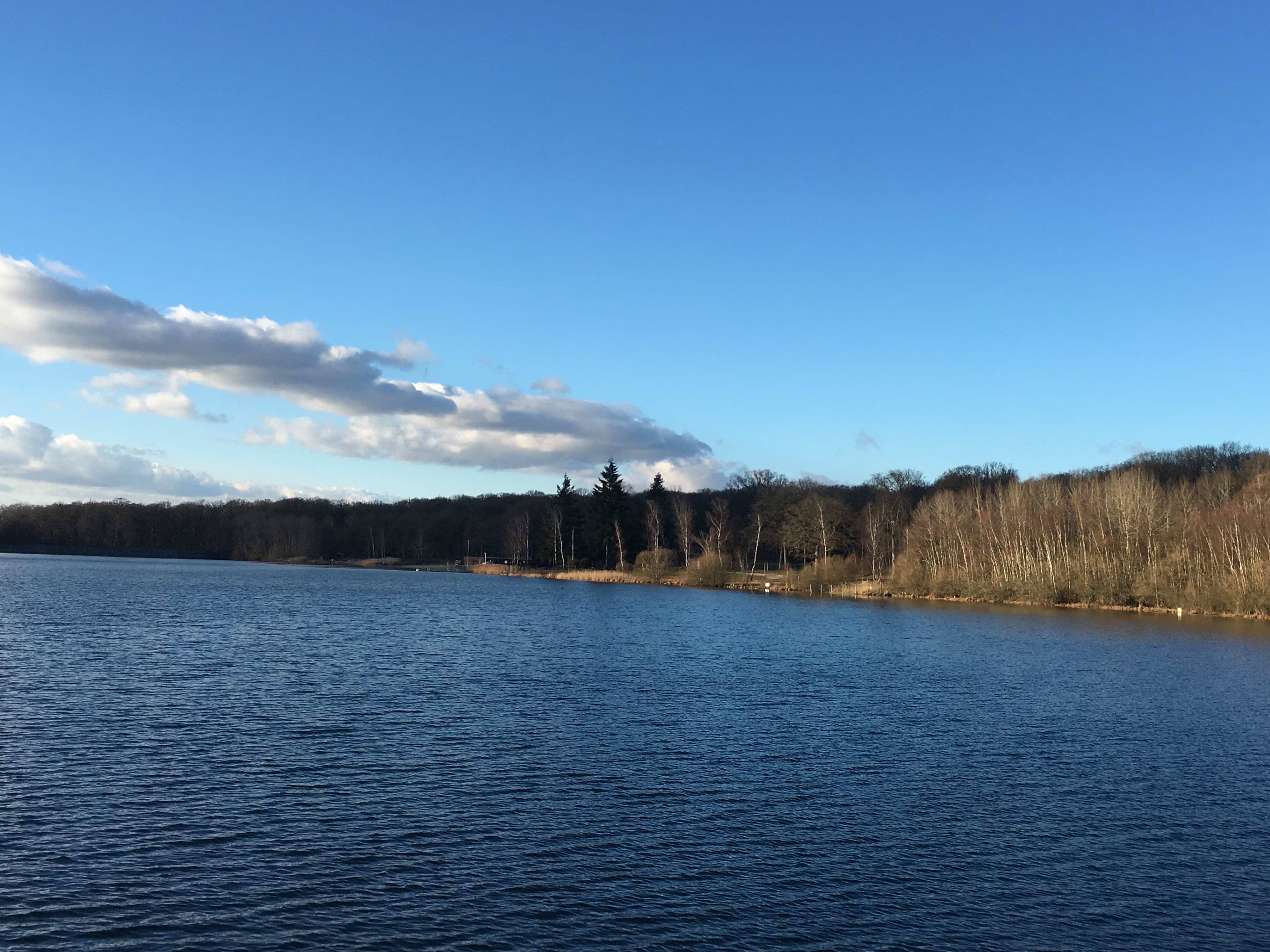
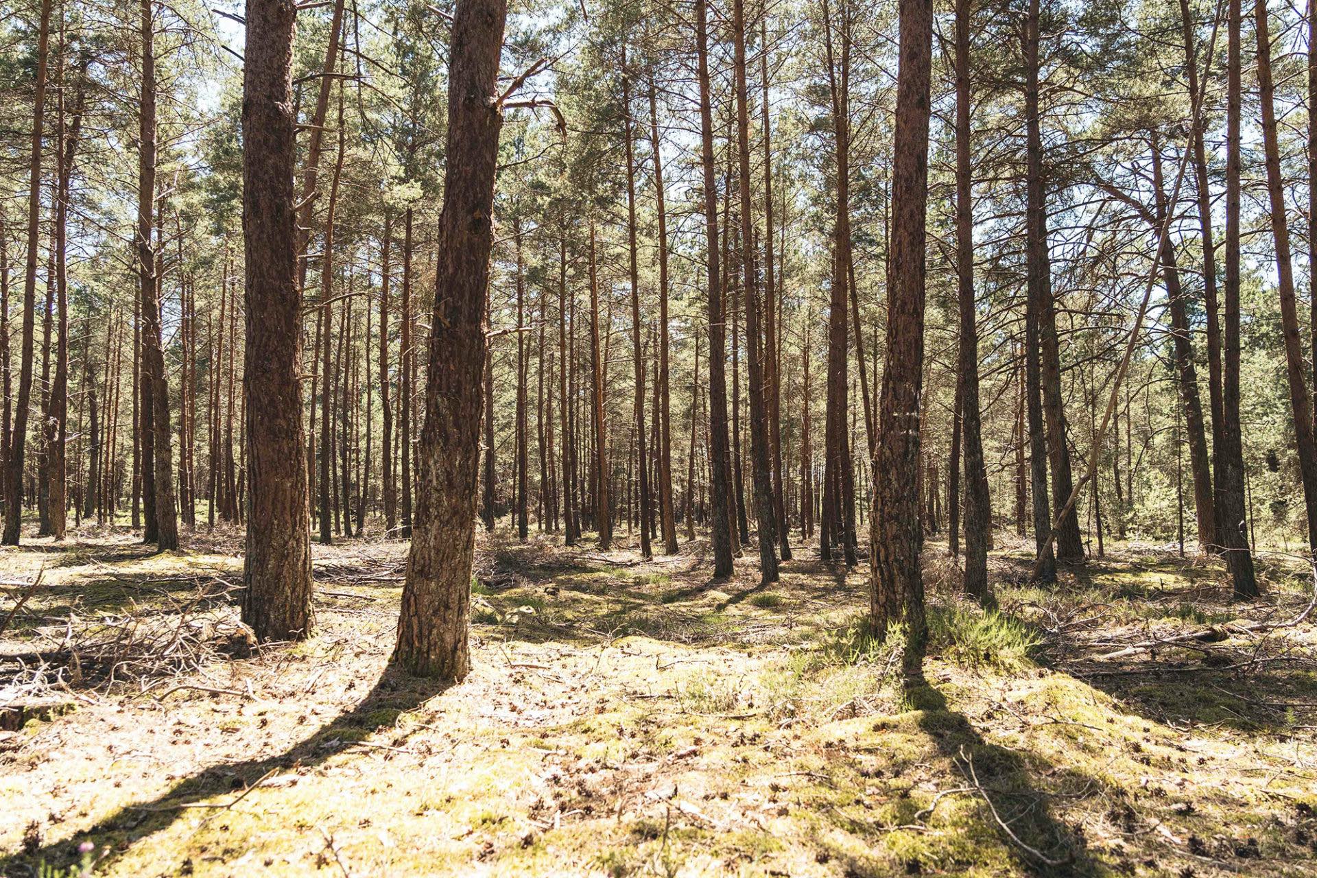
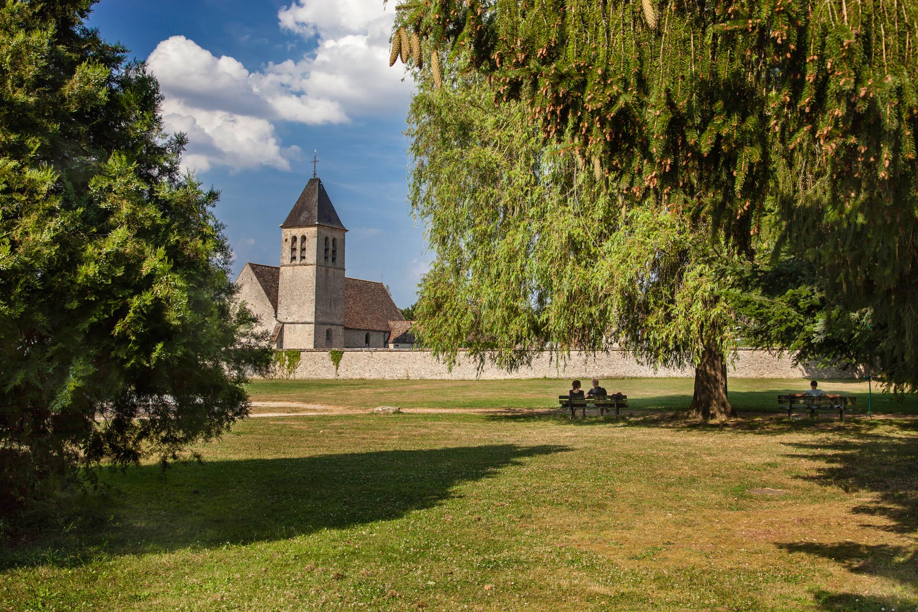
This route from Bazoches-sur-Guyonne crosses the villages of Mesnuls and Montfort-Lamaury. The landscapes are therefore very varied: fields, undergrowth, and villages full of history.

Already more than 200,000 users!
Uphill
273m
Highest point
201m
Downhill
273m
Lowest point
82m
Route type
Loop
Download the map on your smartphone to save battery and rest assured to always keep access to the route, even without signal.
Includes IGN France and Swisstopo.
I indicate whether dogs are allowed or prohibited on this trail
All year
0 ratings
Also enjoy:

Already more than 200,000 users!