Uphill
155m
France > Île-de-France > Yvelines > Haute Vallée de Chevreuse Regional Natural Park
Length
12km
Duration
3h30min
Elev gain
155m
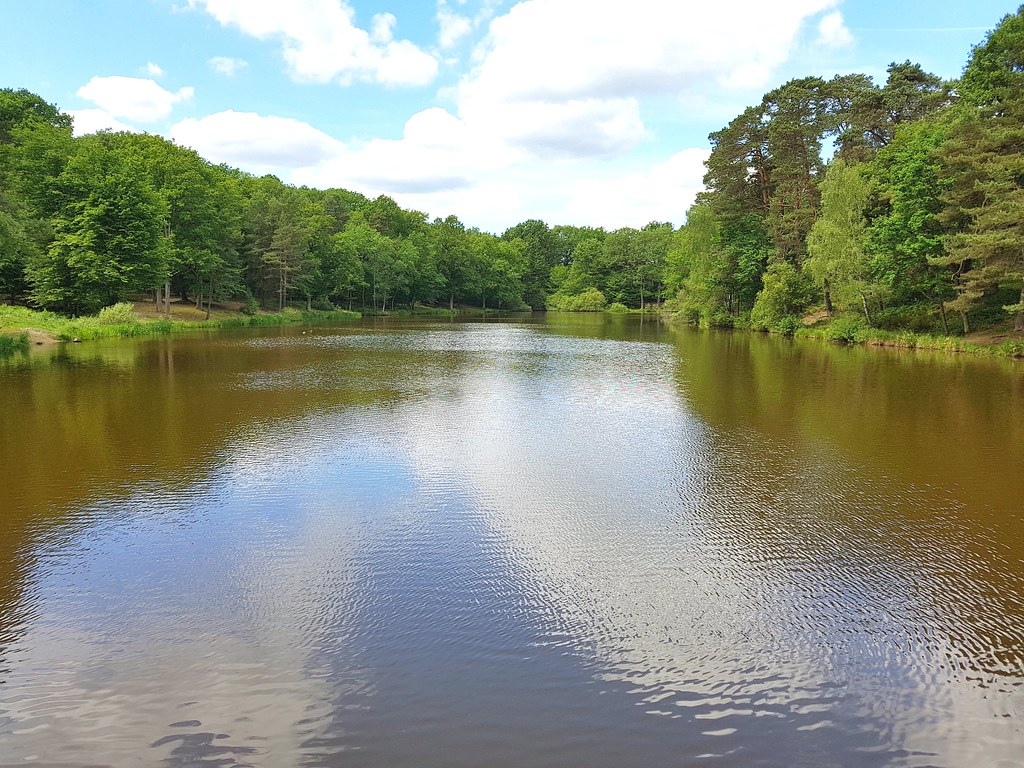
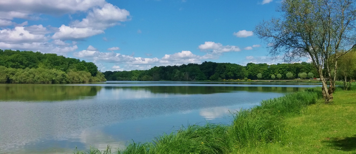
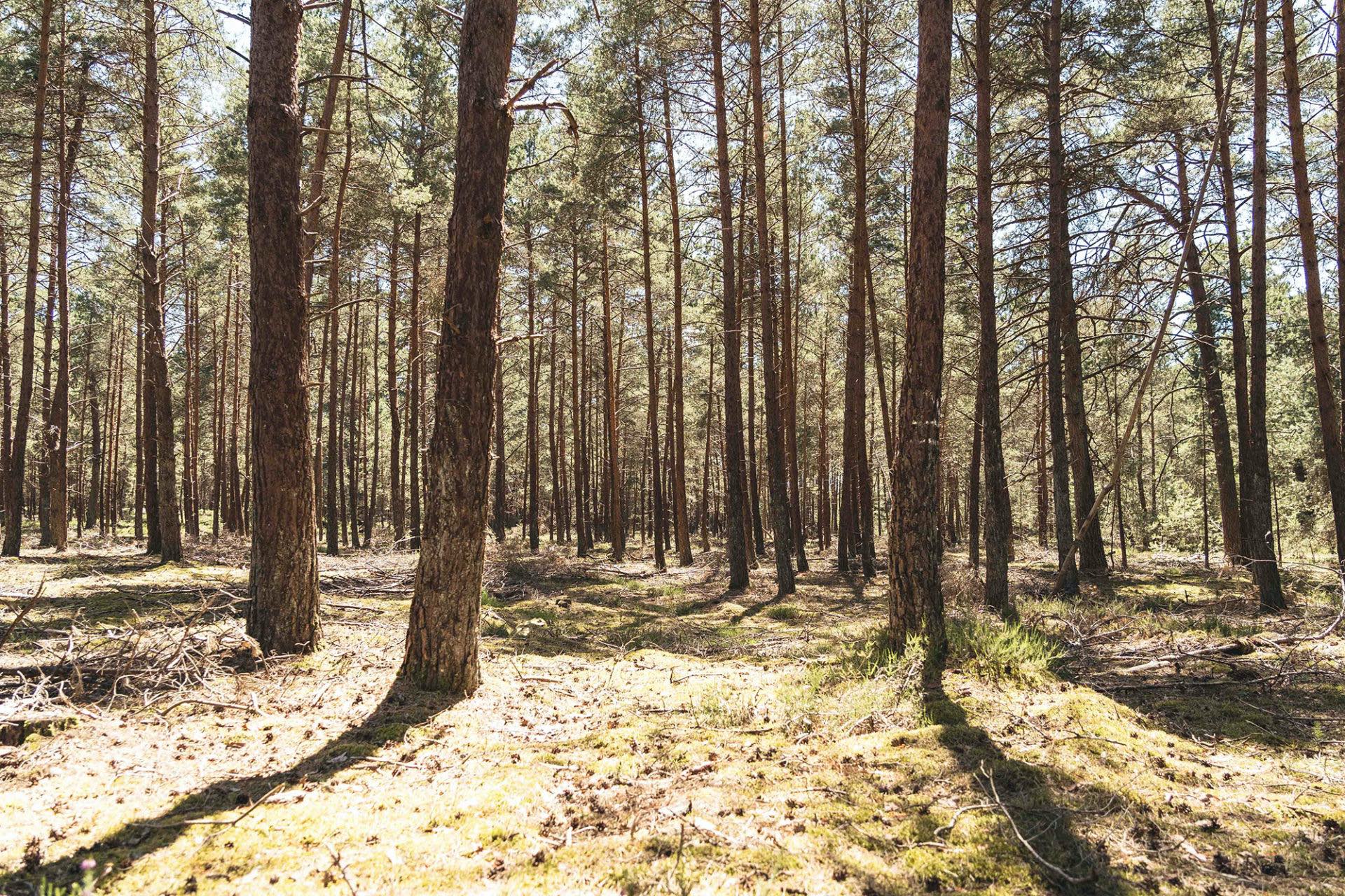
At the heart of the Rambouillet forest, this is a stroll between ferns and the Neolithic dolmen of Pierre Ardoue.

Already more than 200,000 users!
Uphill
155m
Highest point
214m
Downhill
155m
Lowest point
142m
Route type
Loop
Download the map on your smartphone to save battery and rest assured to always keep access to the route, even without signal.
Includes IGN France and Swisstopo.
I indicate whether dogs are allowed or prohibited on this trail
All year
0 ratings
Also enjoy:

Already more than 200,000 users!