Uphill
107m
France > Île-de-France > Yvelines > Haute Vallée de Chevreuse Regional Natural Park
Length
18km
Duration
4h30min
Elev gain
107m
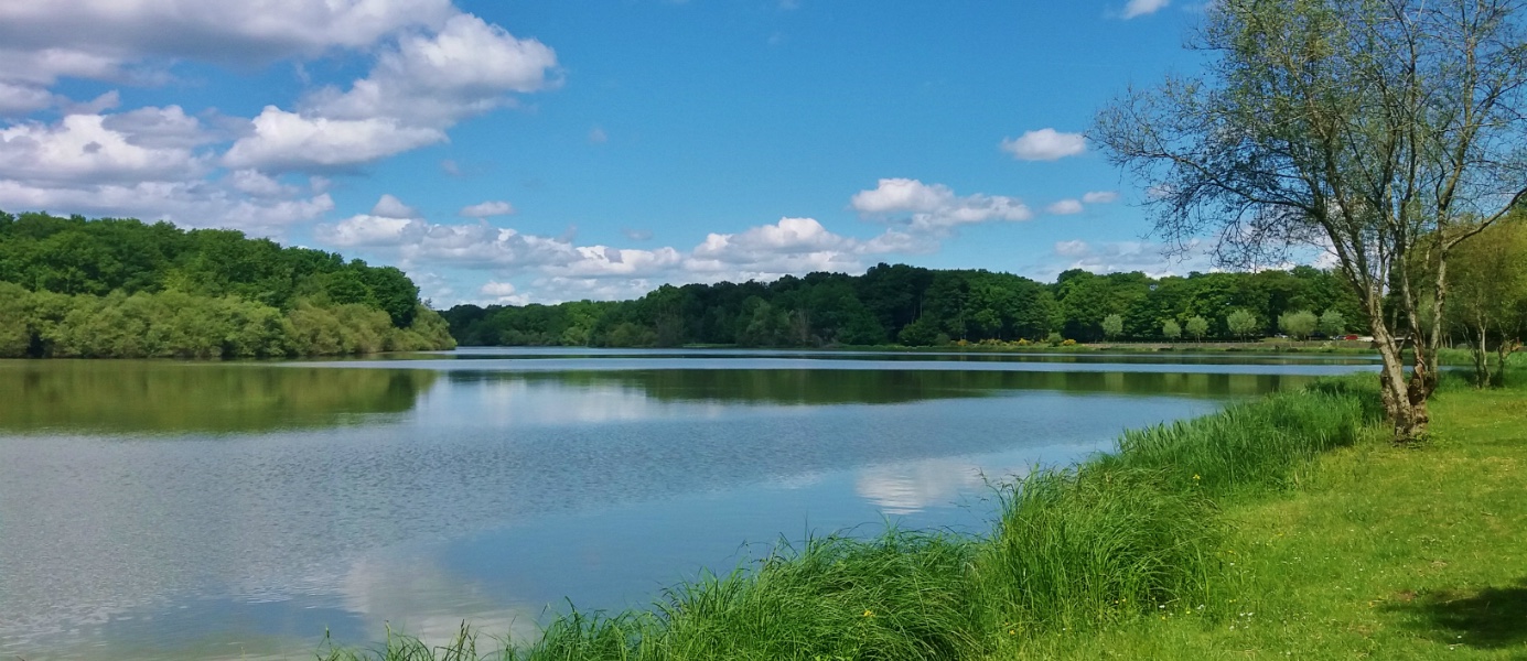
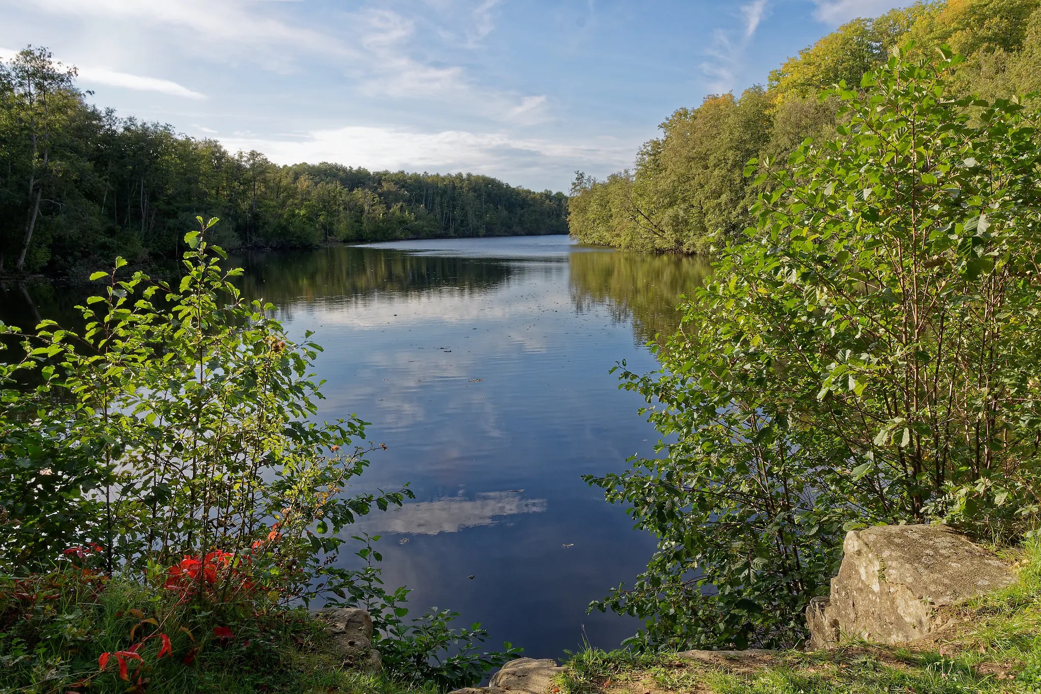
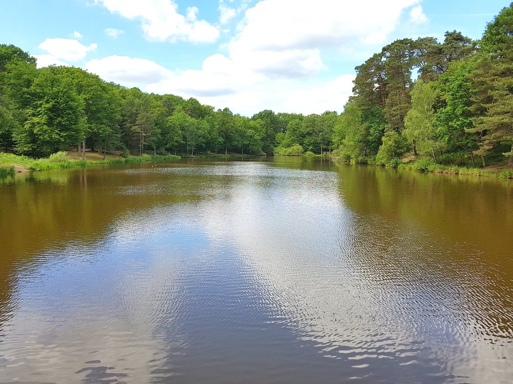
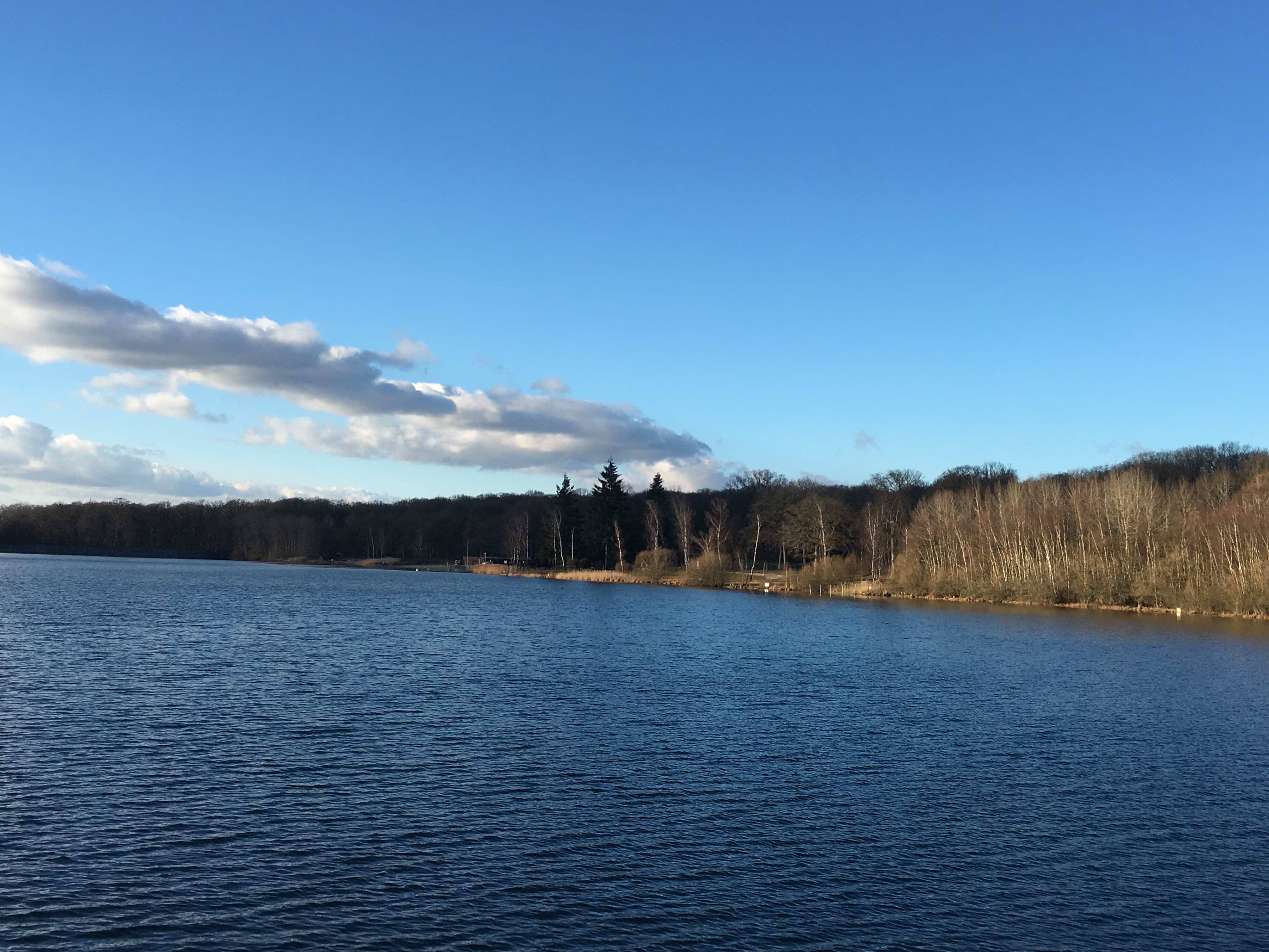
From Le Perray train station, hike around the ponds of Holland in the Rambouillet forest.

Already more than 200,000 users!
Uphill
107m
Highest point
205m
Downhill
107m
Lowest point
162m
Route type
Loop
Download the map on your smartphone to save battery and rest assured to always keep access to the route, even without signal.
Includes IGN France and Swisstopo.
I indicate whether dogs are allowed or prohibited on this trail
All year
2 ratings
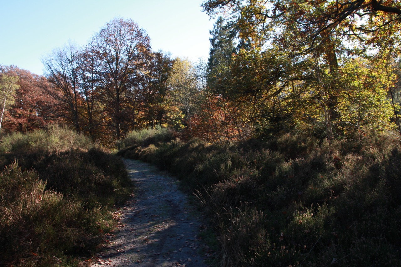
Il y a un passage sur environ 400 mètres rempli de ronce. Le sentier est à peine visible.
Prévoir chaussures hautes et pantalon.
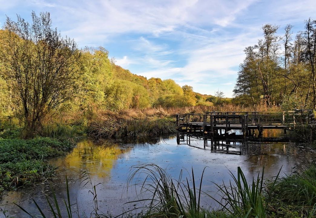
Balade sympa, entre forêt et étangs ! J’ai trouvé que ces derniers pourraient être mieux aménagés et rendus accessibles au public - là il y a pas mal de grillages.
Also enjoy:

Already more than 200,000 users!