Uphill
89m
France > Île-de-France > Yvelines > Haute Vallée de Chevreuse Regional Natural Park
Length
10km
Duration
2h30min
Elev gain
89m
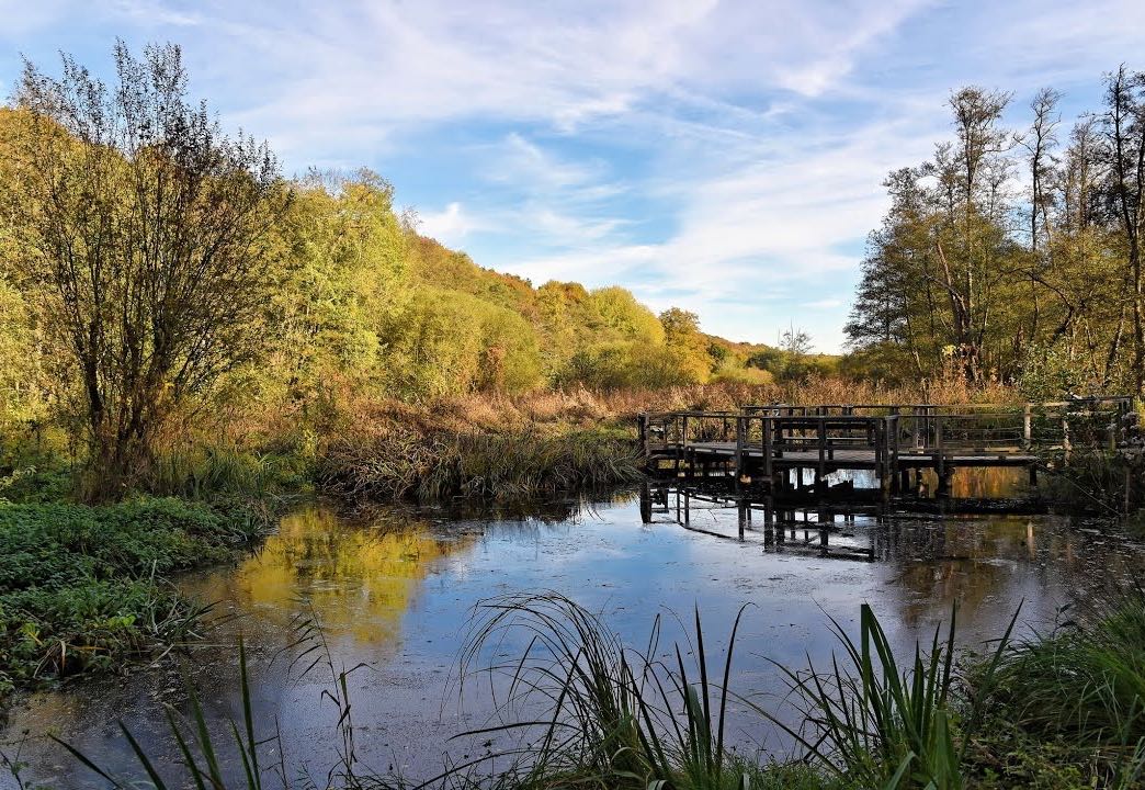
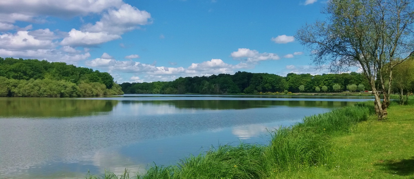
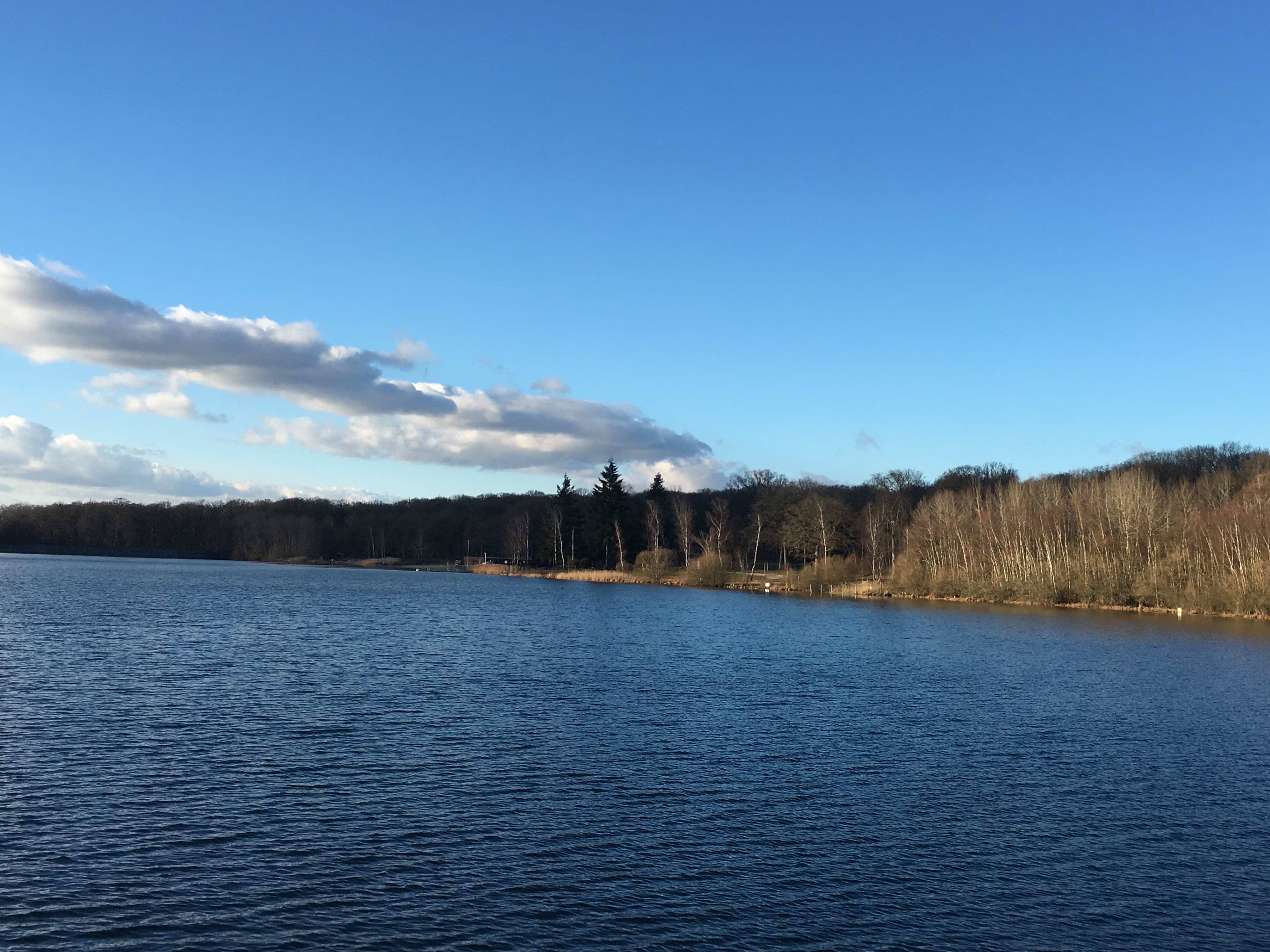
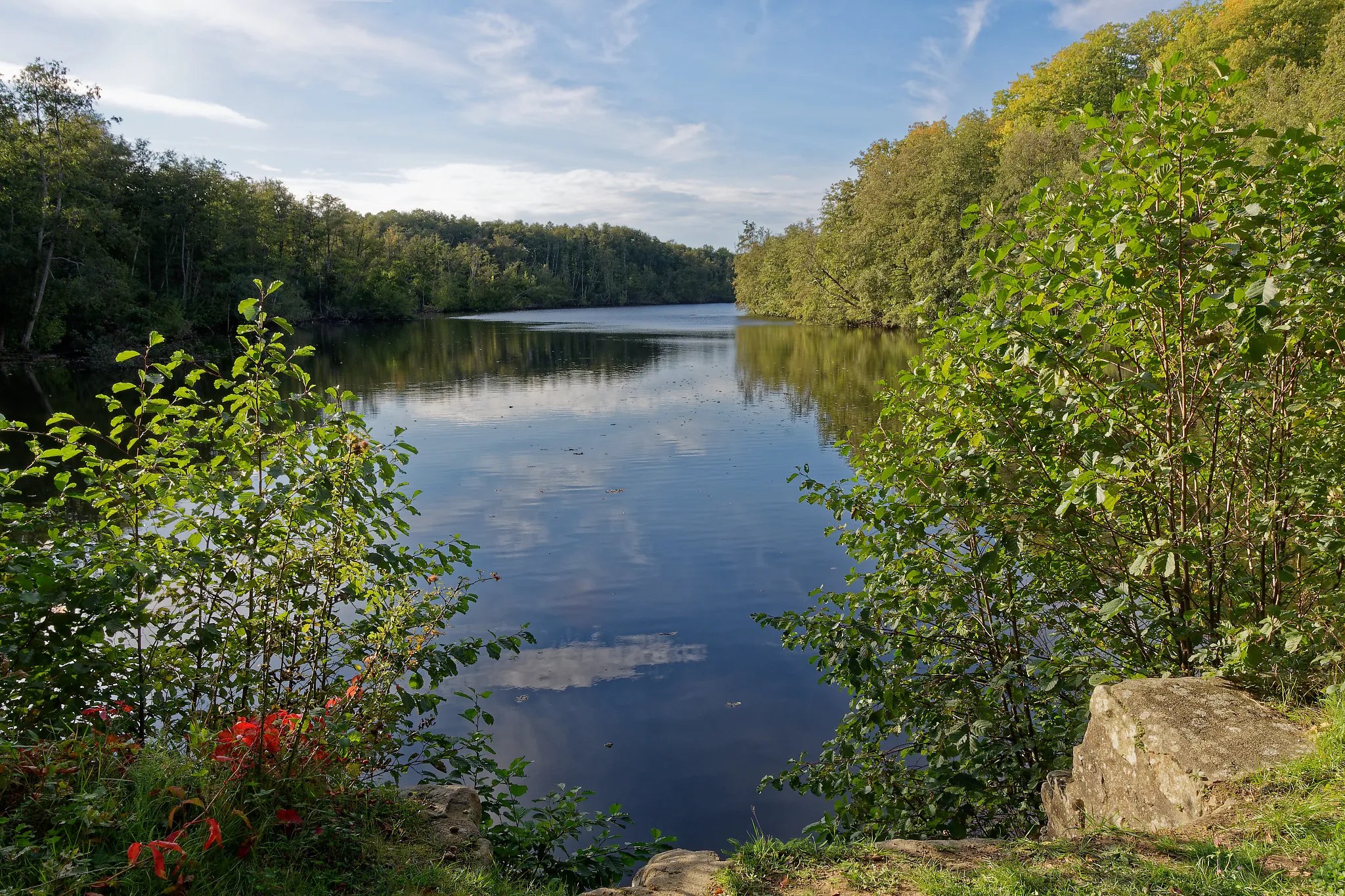
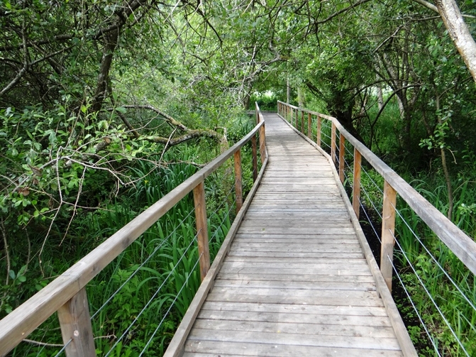
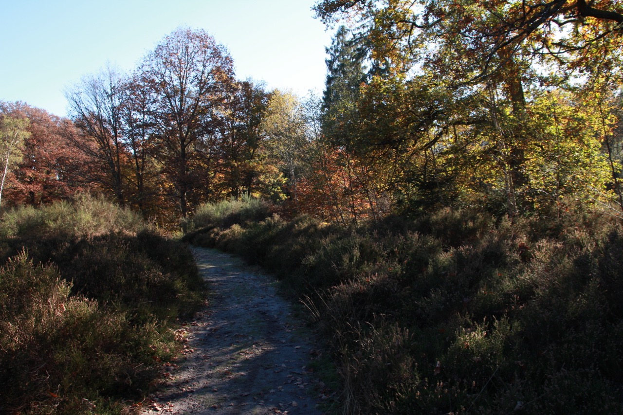
Departing from Essarts-le-Roi, this is a loop trail with an interesting elevation profile, and thus offering some pretty views.
The passage at the edge of the Ru des Vaux is also a great addition.

Already more than 200,000 users!
Uphill
89m
Highest point
193m
Downhill
89m
Lowest point
127m
Route type
Loop
Download the map on your smartphone to save battery and rest assured to always keep access to the route, even without signal.
Includes IGN France and Swisstopo.
I indicate whether dogs are allowed or prohibited on this trail
All year
0 ratings
Also enjoy:

Already more than 200,000 users!