Uphill
1337m
Length
17km
Duration
9h30min
Elev gain
1337m
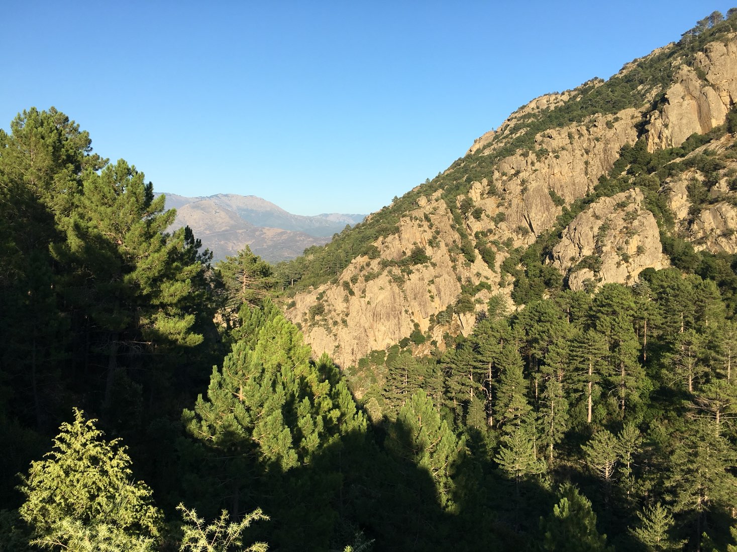
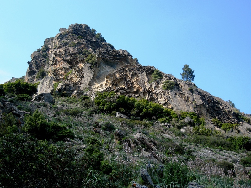
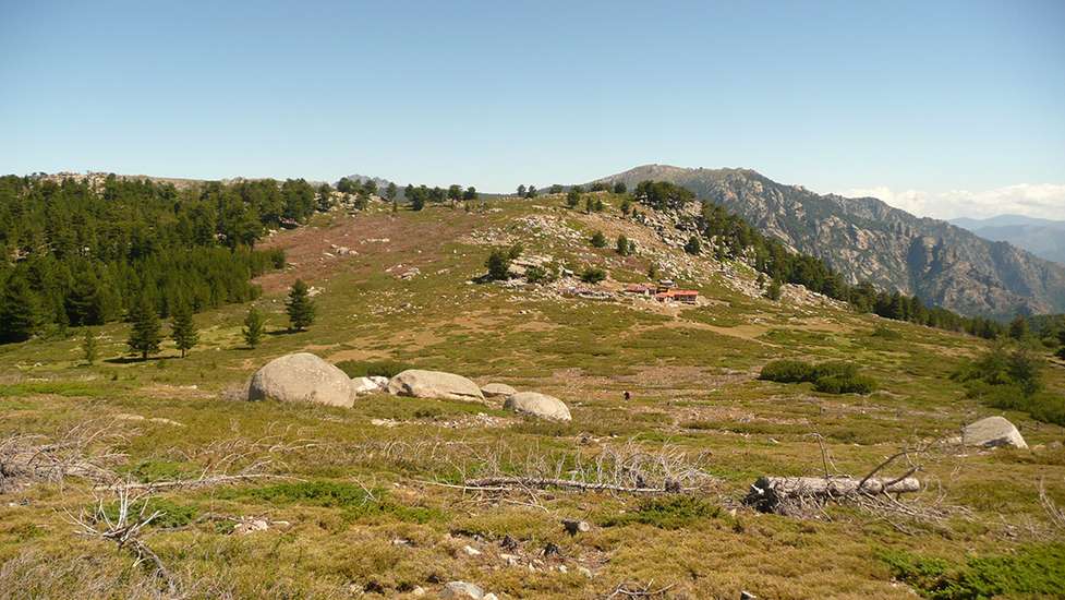
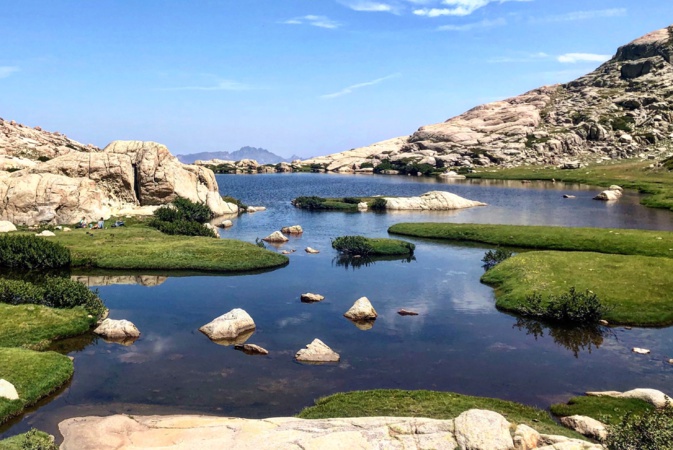
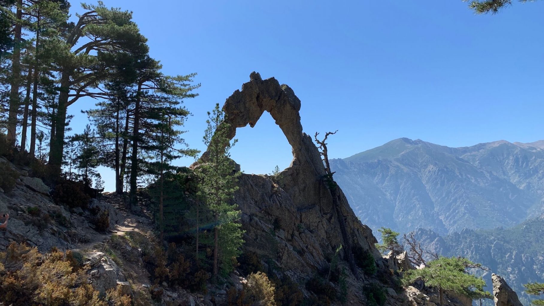
A long and steep climb takes you to the Arch of Corte, a natural granite arch located 1,500 meters above sea level, above the Tavignano Valley. The rest is a gentle descent, in the middle of pretty landscapes.

Already more than 200,000 users!
Uphill
1337m
Highest point
1699m
Downhill
1337m
Lowest point
430m
Route type
Loop
Download the map on your smartphone to save battery and rest assured to always keep access to the route, even without signal.
Includes IGN France and Swisstopo.
I indicate whether dogs are allowed or prohibited on this trail
From May to October
2 ratings
Also enjoy:

Already more than 200,000 users!