Uphill
1010m
Length
9km
Duration
6h30min
Elev gain
1010m
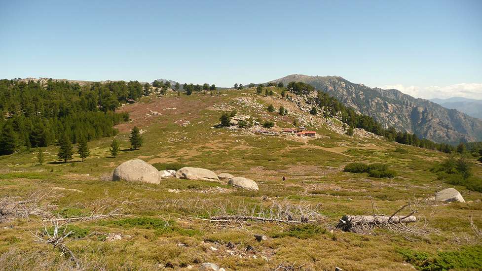
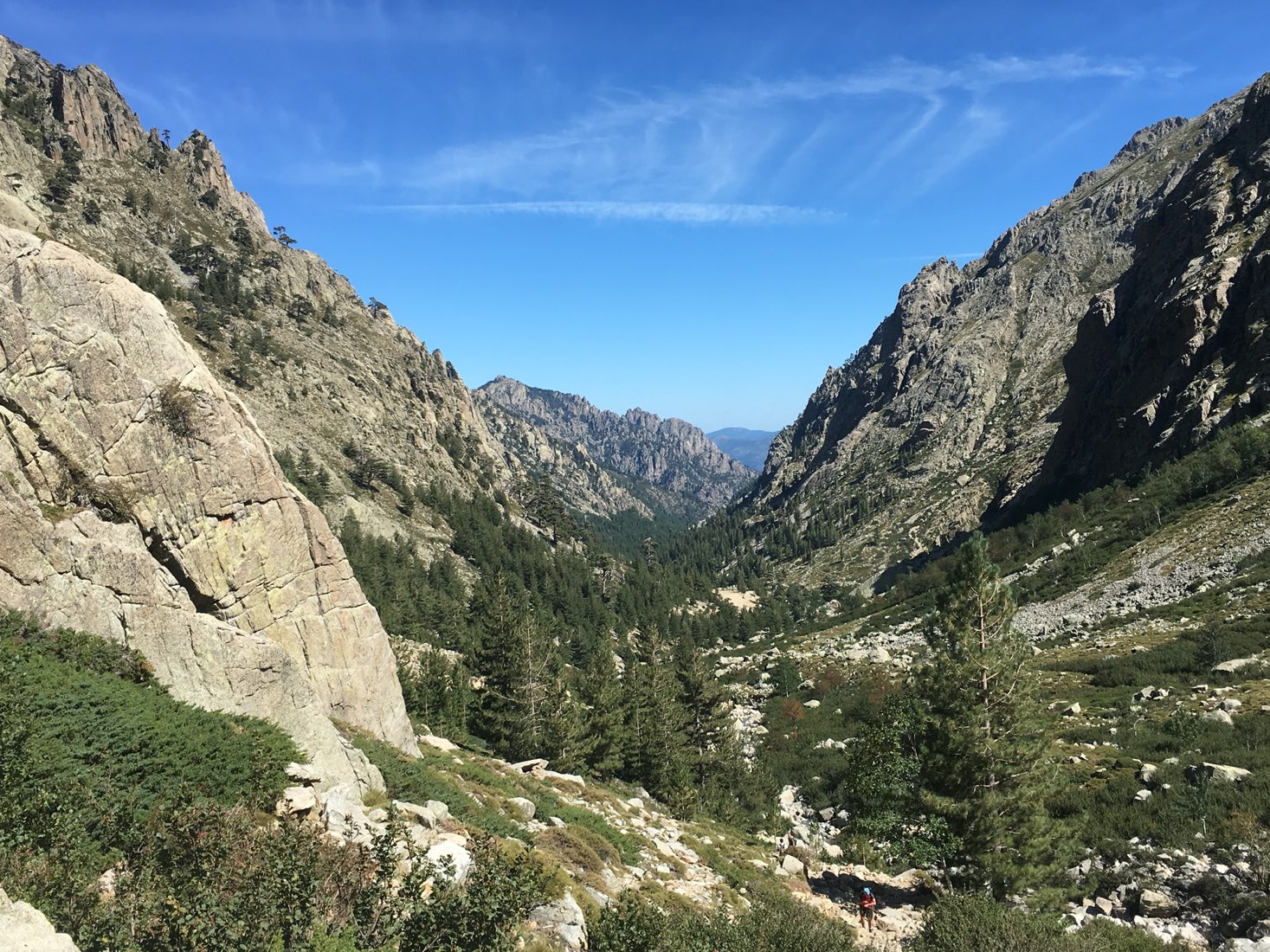
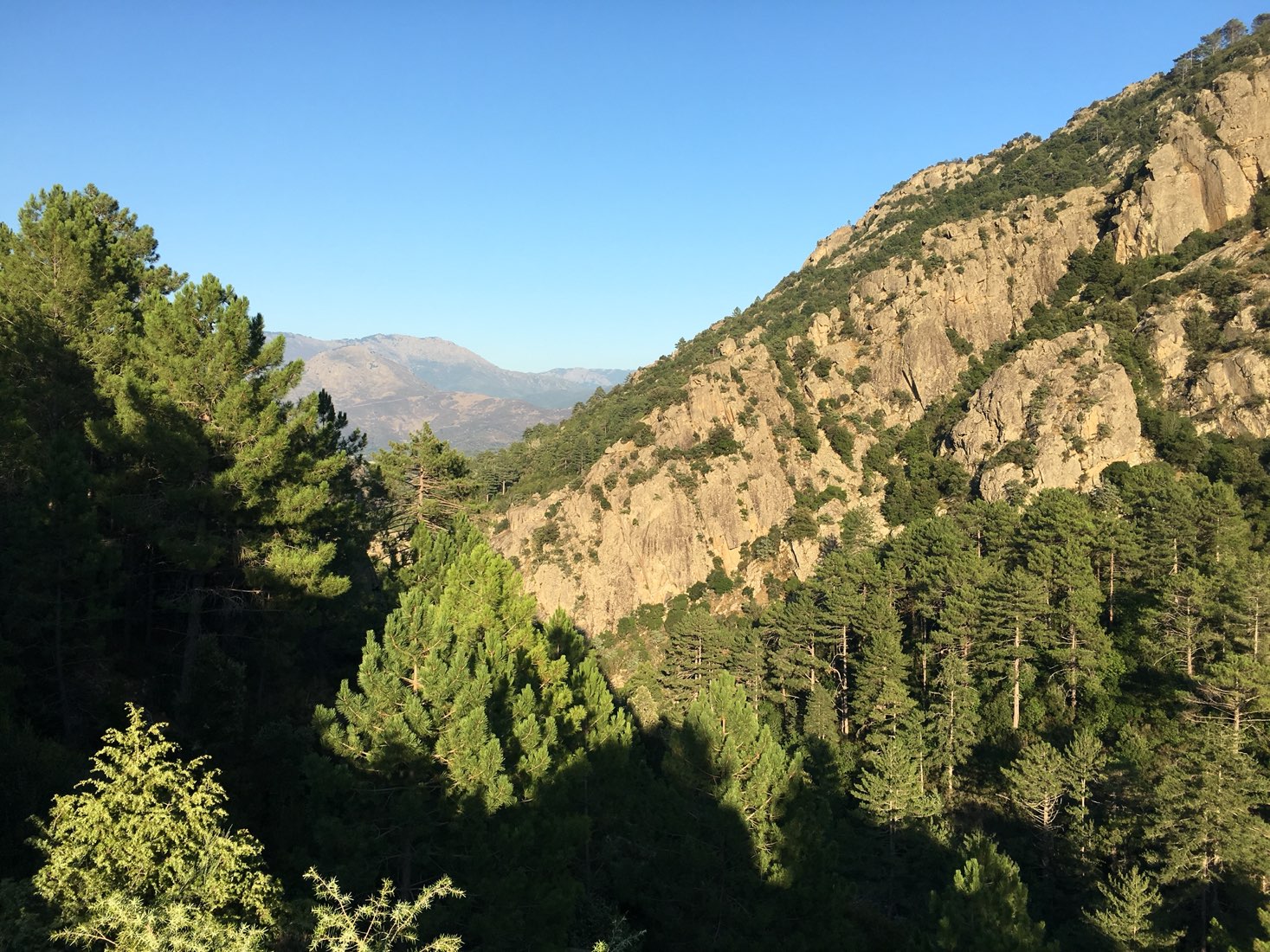
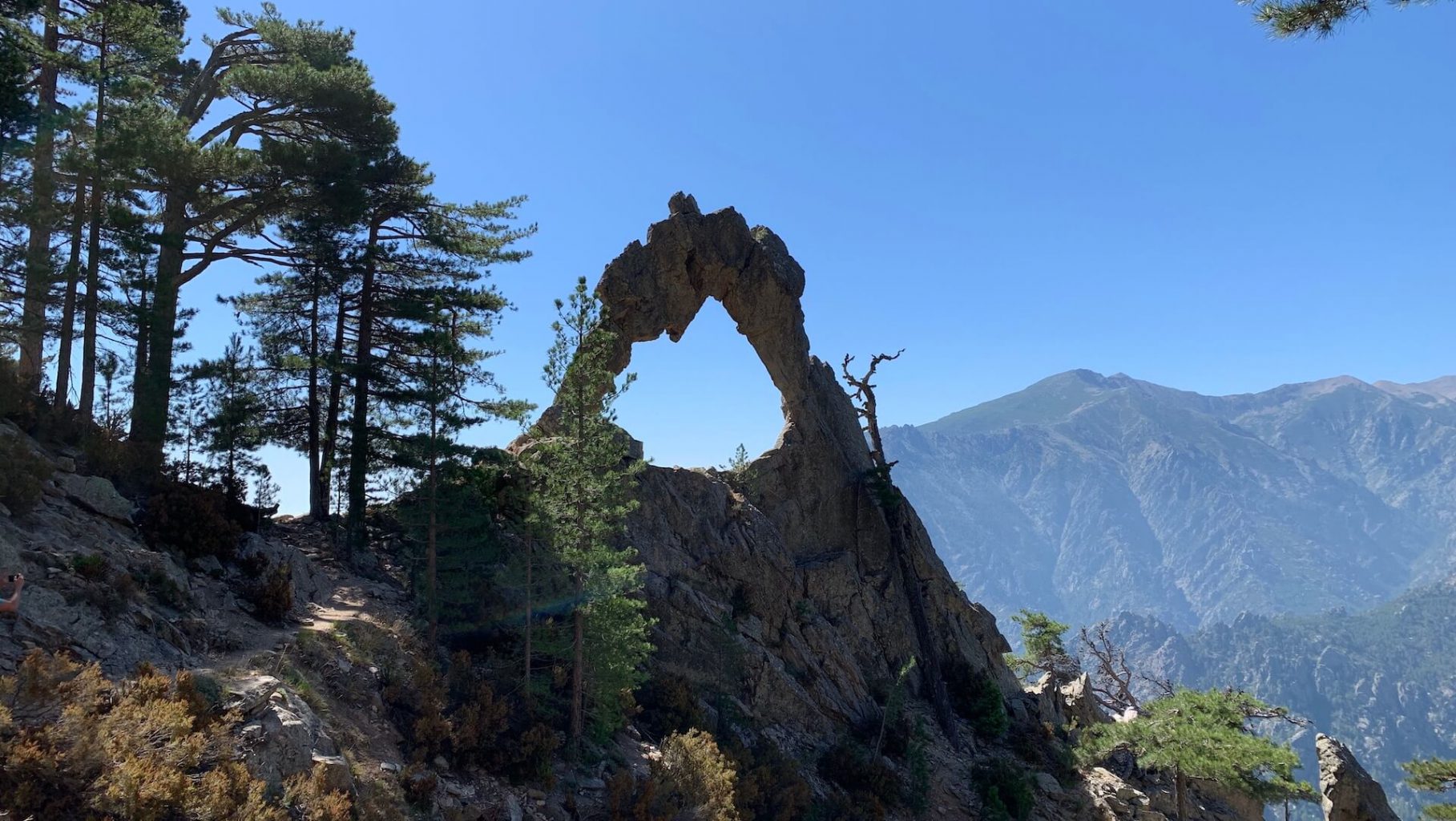
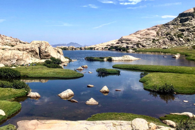
Departing from the Restonica valley, here is a fairly physically demanding round trip, to a very pretty lake located at more than 2,000 meters above sea level. The route also passes through the sheepfolds of Timozzu.

Already more than 200,000 users!
Uphill
1010m
Highest point
2076m
Downhill
1010m
Lowest point
1057m
Route type
There and back
Download the map on your smartphone to save battery and rest assured to always keep access to the route, even without signal.
Includes IGN France and Swisstopo.
No specific parking for this hike, possibility to stop by the D623 next to the bridge.
I indicate whether dogs are allowed or prohibited on this trail
From May to September
0 ratings
Also enjoy:

Already more than 200,000 users!