Uphill
854m

Length
9km
Duration
5h30min
Elev gain
854m
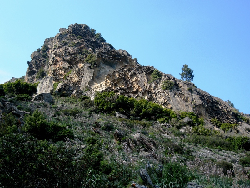
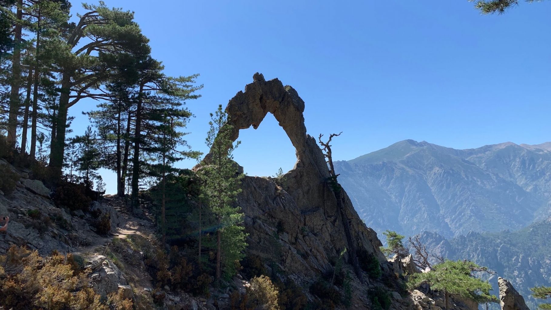
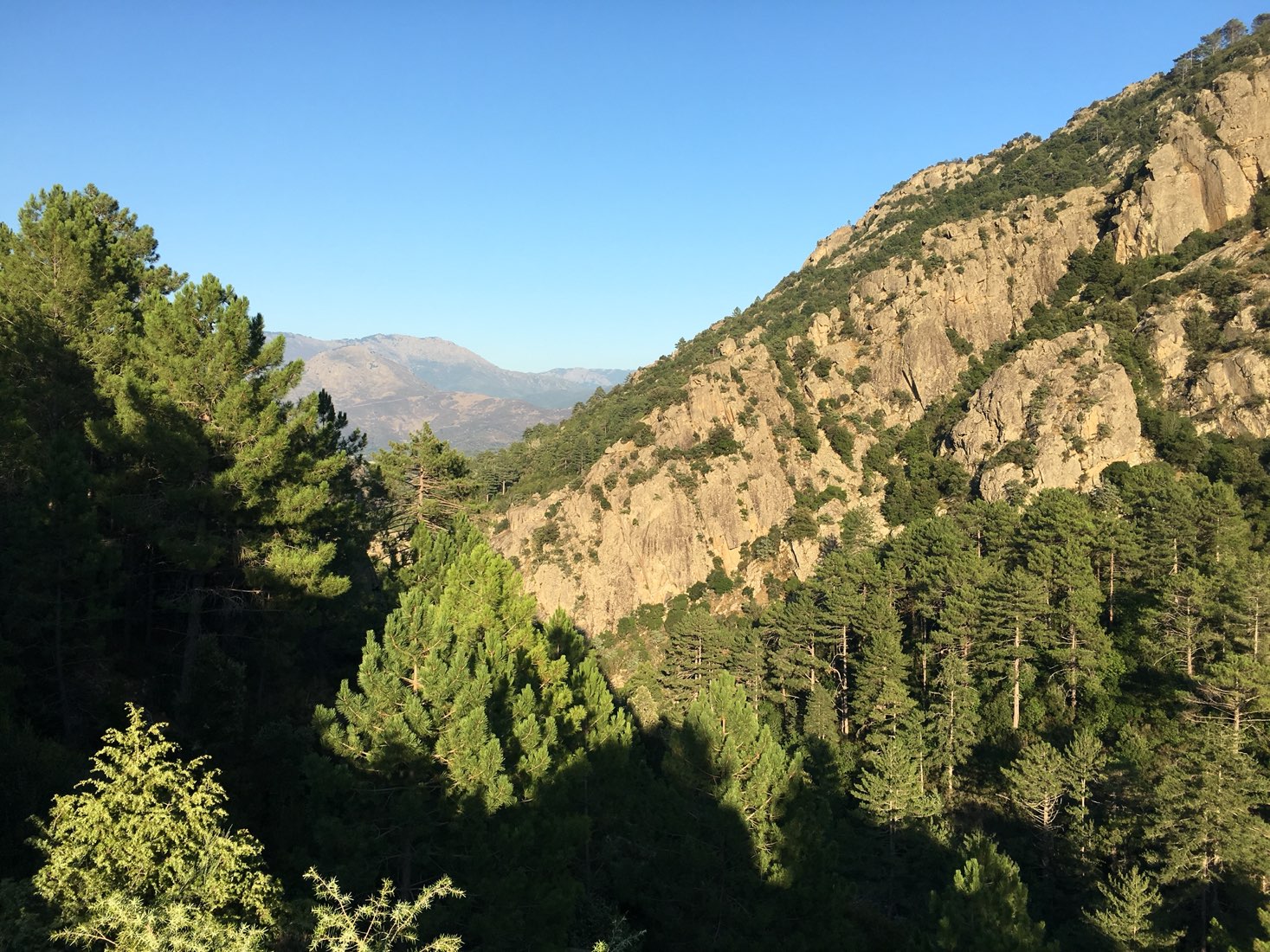
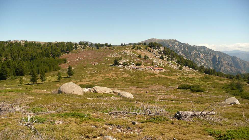
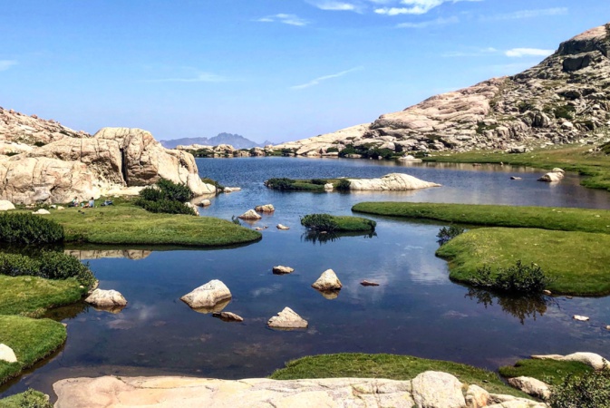
Varied loop hike between forest and more steep landscapes. This path passes near the Saint Eliseo chapel, and the sheepfolds of Polvarella and Coda a u Pratu.

Already more than 200,000 users!
Uphill
854m
Highest point
1671m
Downhill
854m
Lowest point
816m
Route type
Loop
Download the map on your smartphone to save battery and rest assured to always keep access to the route, even without signal.
Includes IGN France and Swisstopo.
I indicate whether dogs are allowed or prohibited on this trail
From May to October
1 rating
Compliqué
Also enjoy:

Already more than 200,000 users!