Uphill
443m
Length
4km
Duration
3h
Elev gain
443m
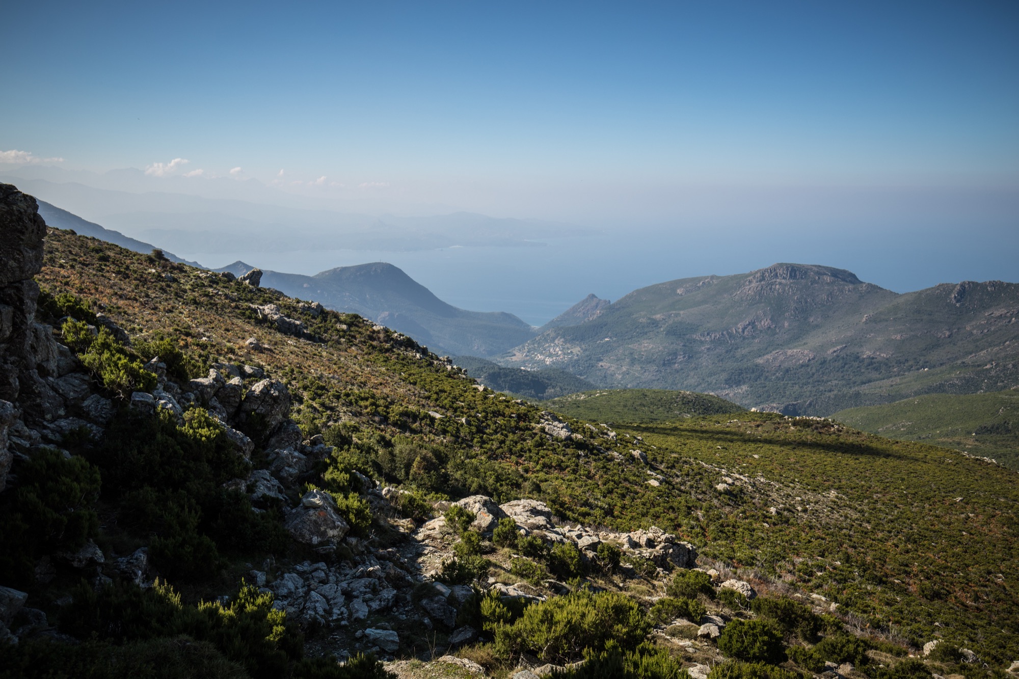
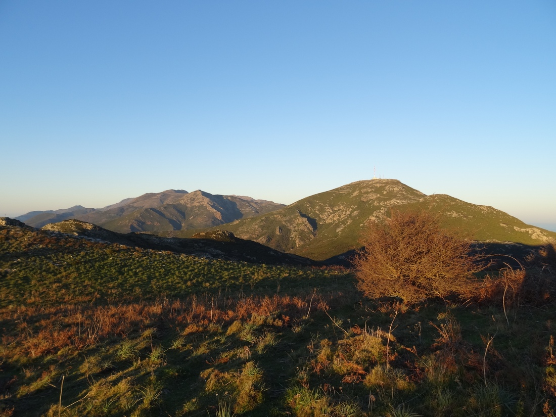
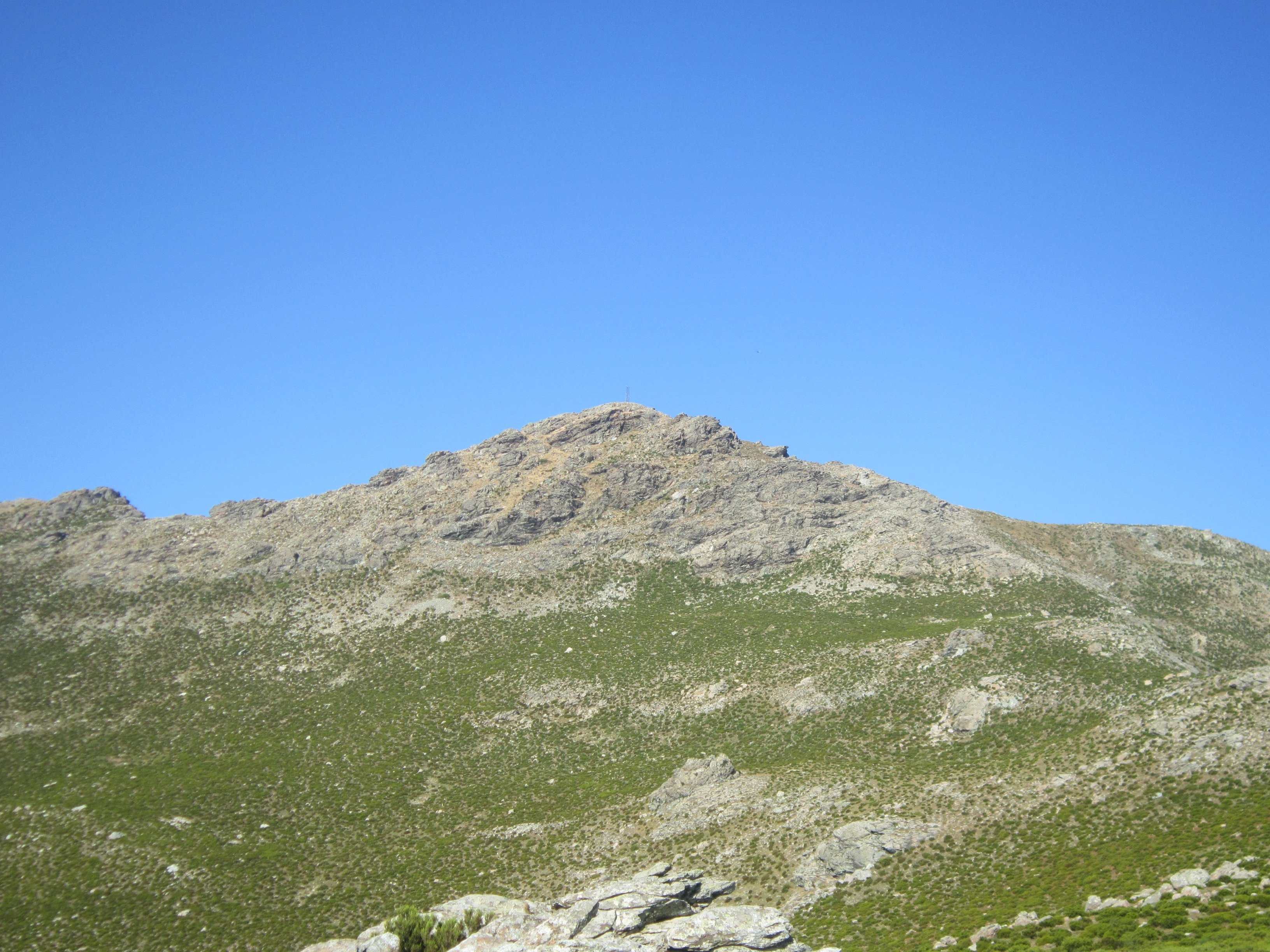
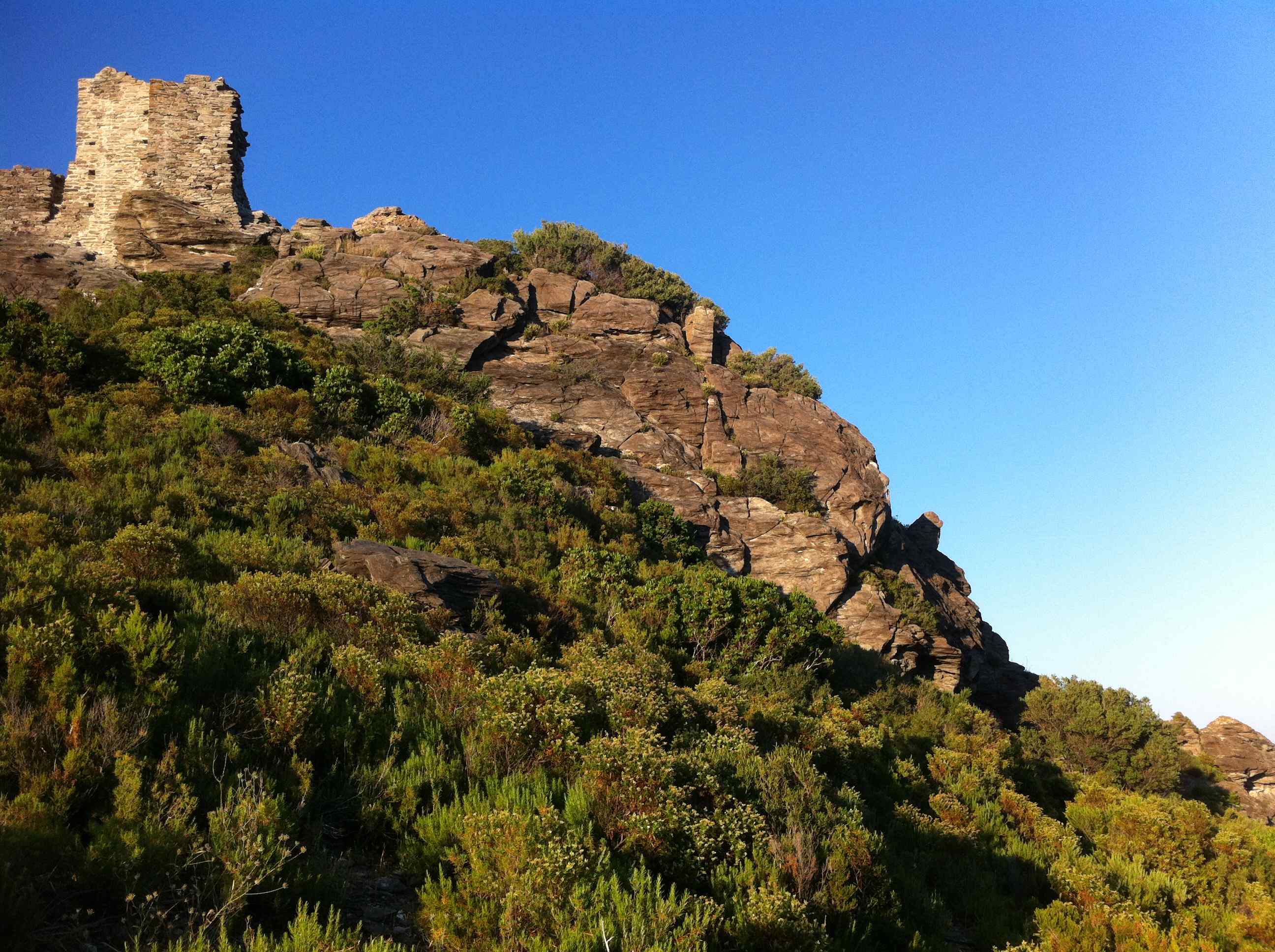
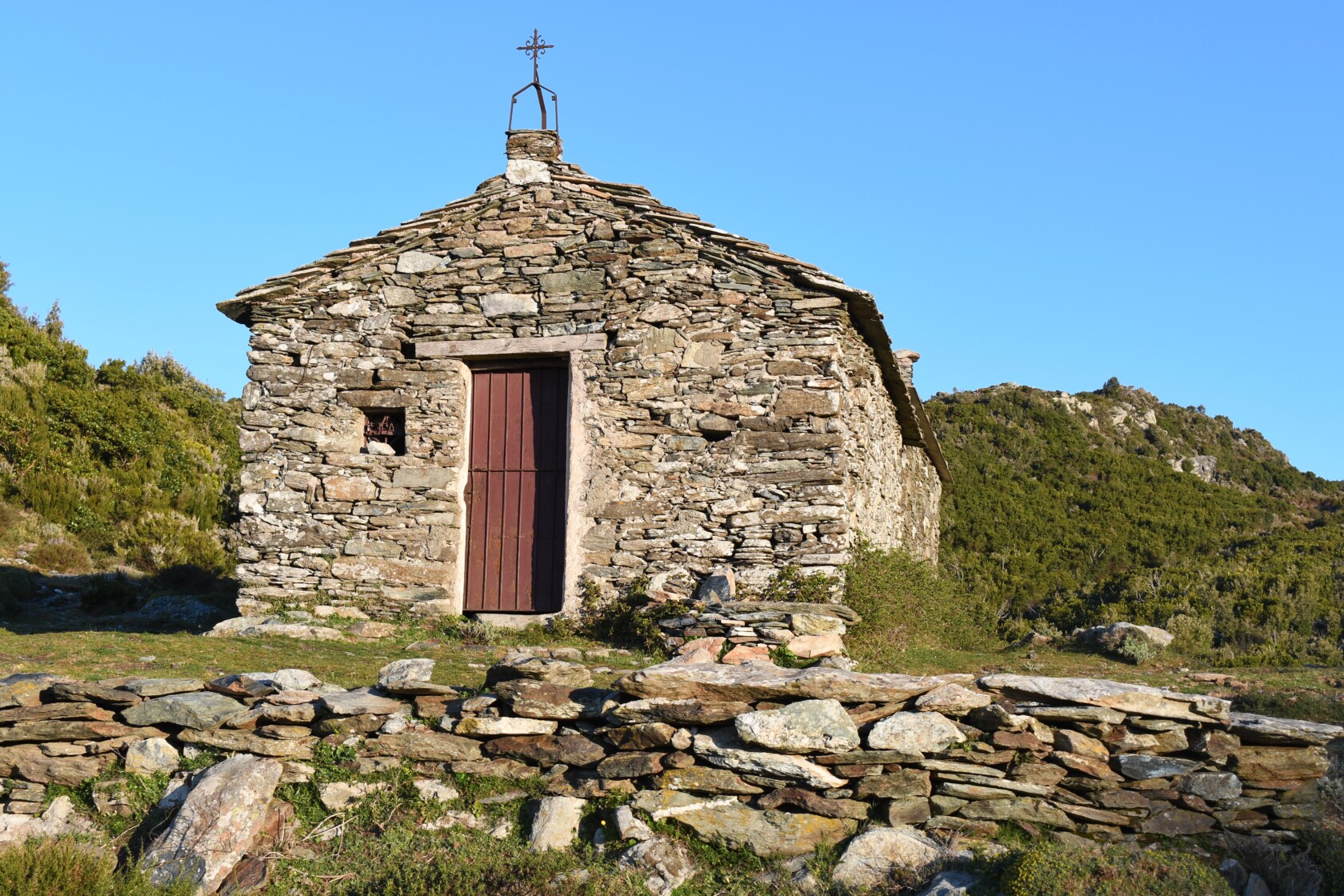
Departing from the village of Mandriale, here is a round trip over rocky and wild terrain, to a small chapel.

Already more than 200,000 users!
Uphill
443m
Highest point
791m
Downhill
443m
Lowest point
330m
Route type
There and back
Download the map on your smartphone to save battery and rest assured to always keep access to the route, even without signal.
Includes IGN France and Swisstopo.
I indicate whether dogs are allowed or prohibited on this trail
All year
0 ratings
Also enjoy:

Already more than 200,000 users!