Uphill
382m
Length
10km
Duration
3h30min
Elev gain
382m
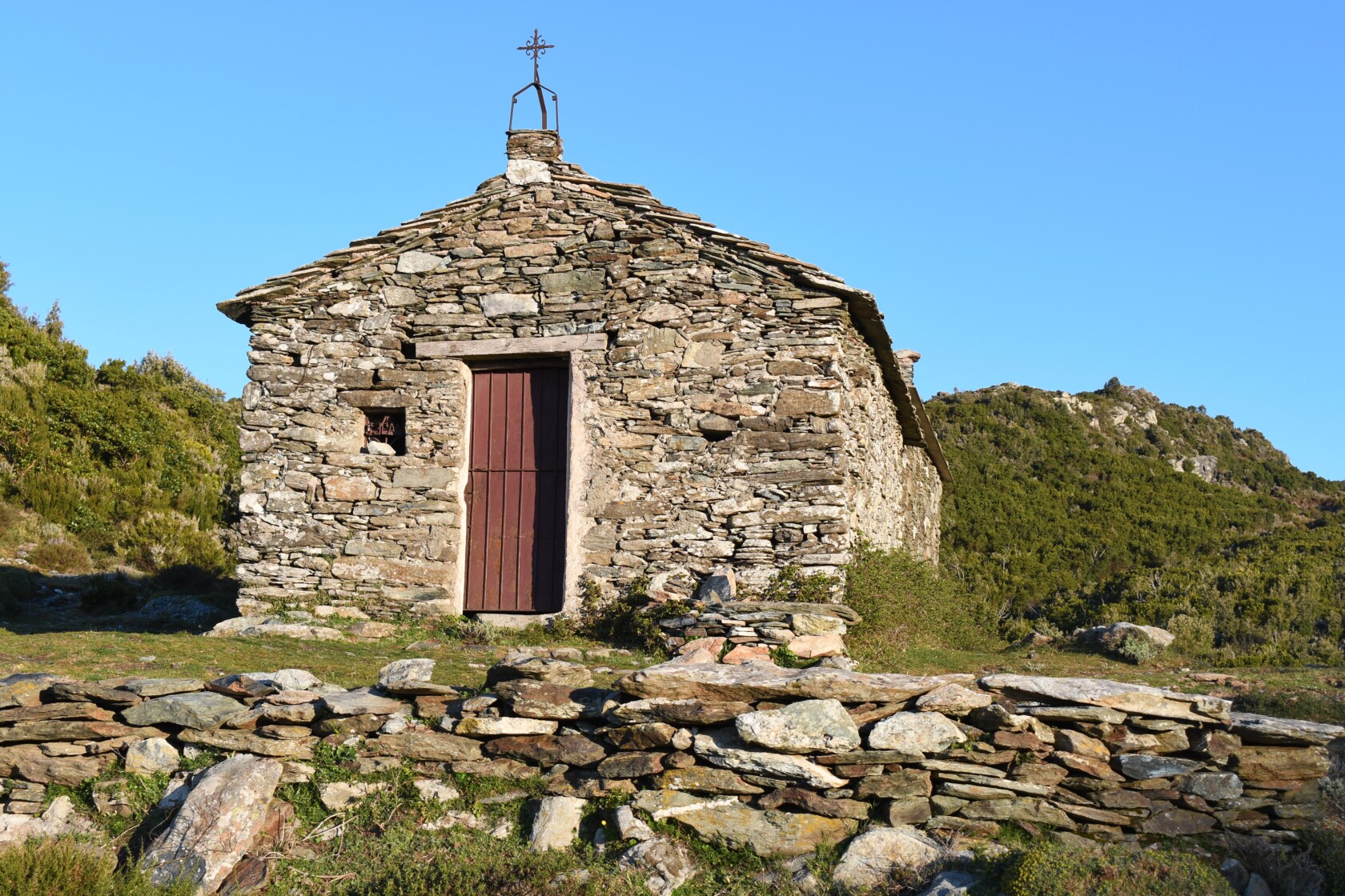
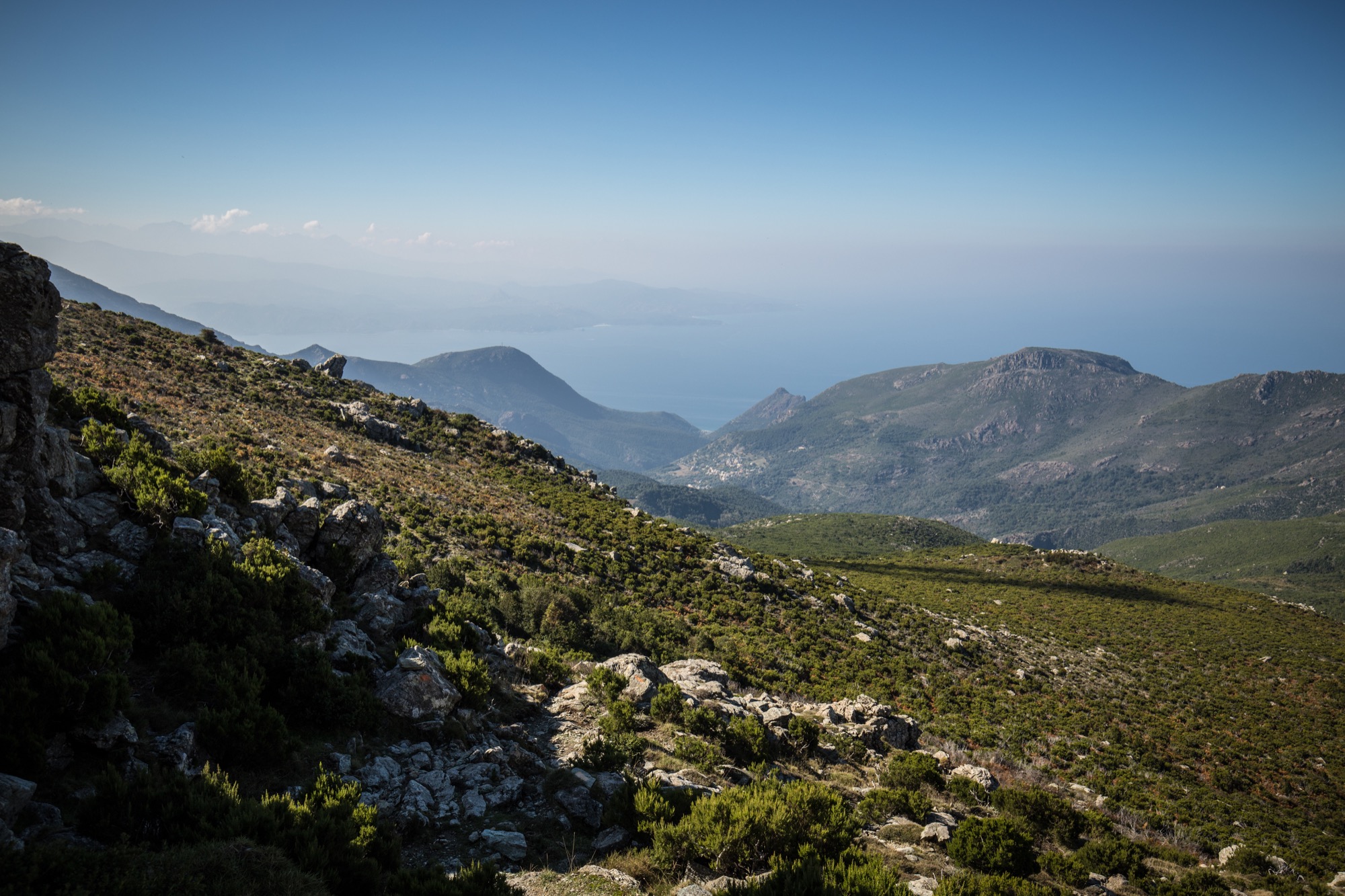
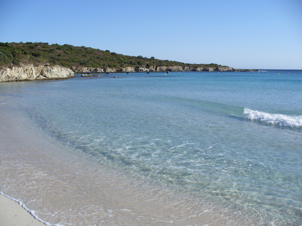
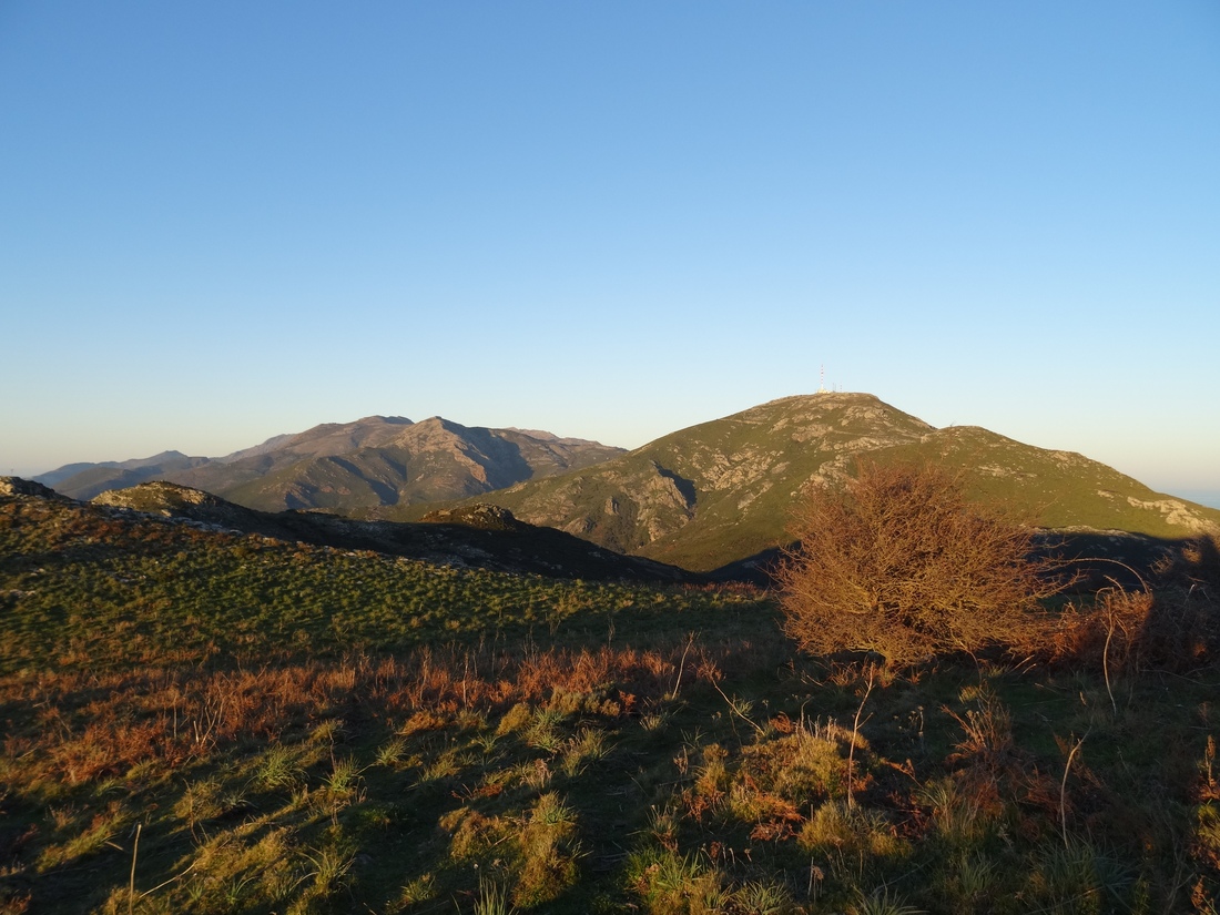
Starting from the Serra di Pigno television station, this trail follows the Barbaggio crest to the Cima di Gratera (1,024 m). Superb panorama over the bays of Bastia and Saint-Florent.

Already more than 200,000 users!
Uphill
382m
Highest point
1012m
Downhill
382m
Lowest point
787m
Route type
There and back
Download the map on your smartphone to save battery and rest assured to always keep access to the route, even without signal.
Includes IGN France and Swisstopo.
I indicate whether dogs are allowed or prohibited on this trail
All year
5 ratings
Also enjoy:

Already more than 200,000 users!