Uphill
1028m
Length
13km
Duration
7h
Elev gain
1028m
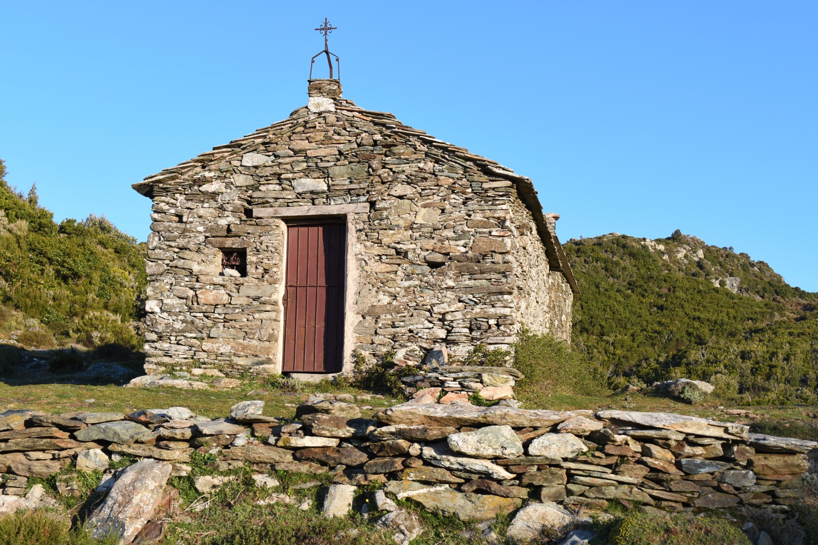
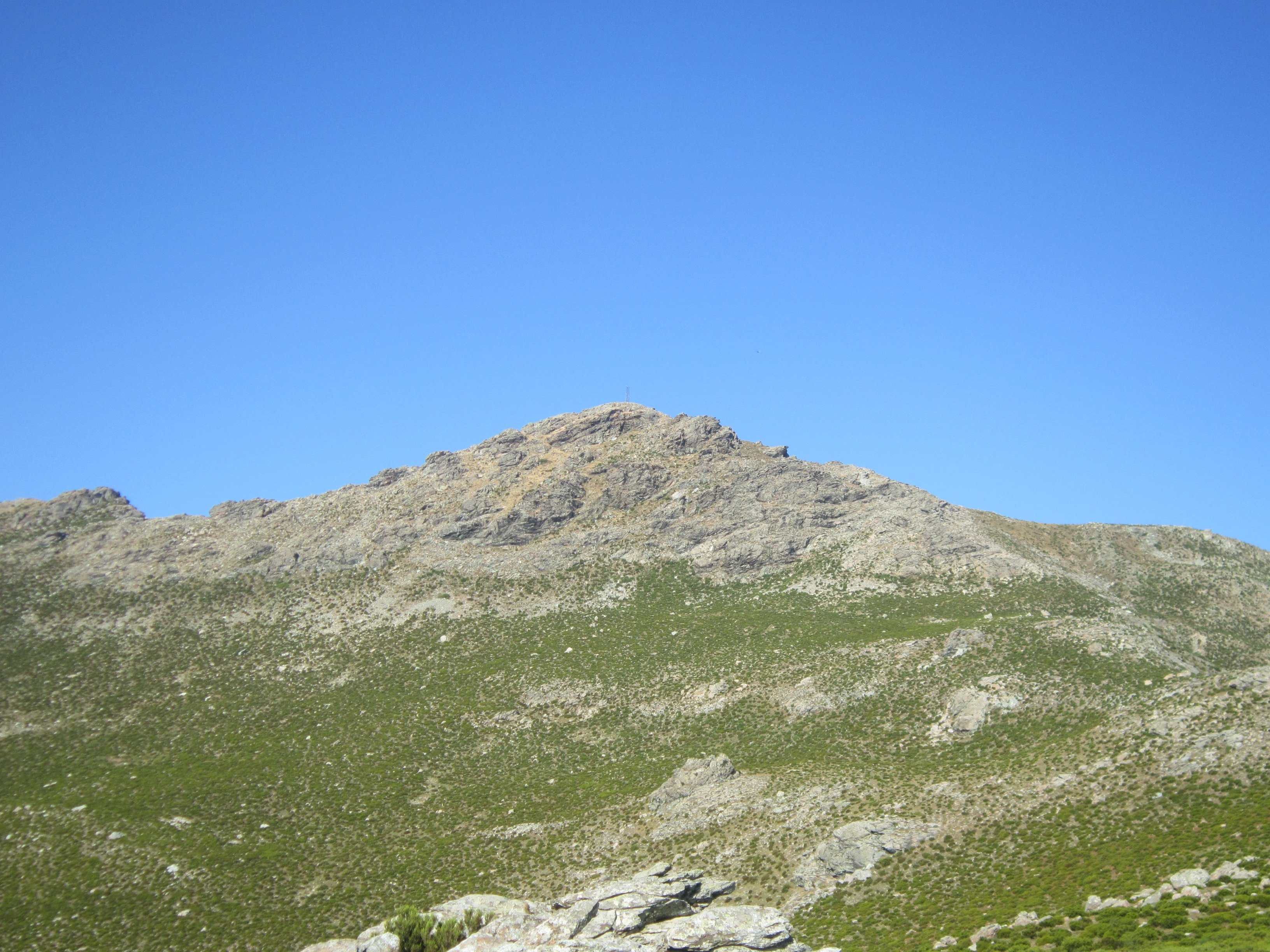
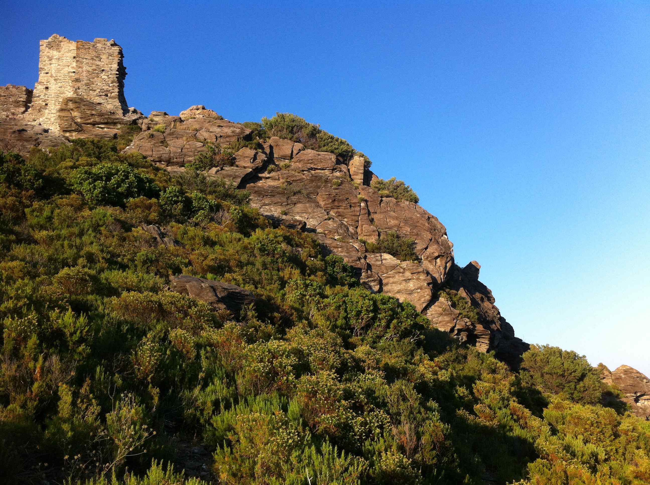
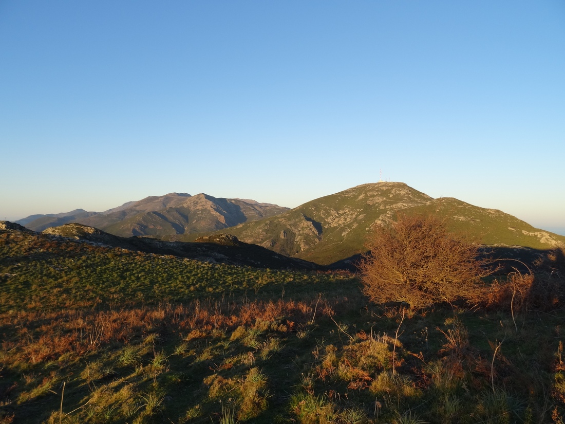
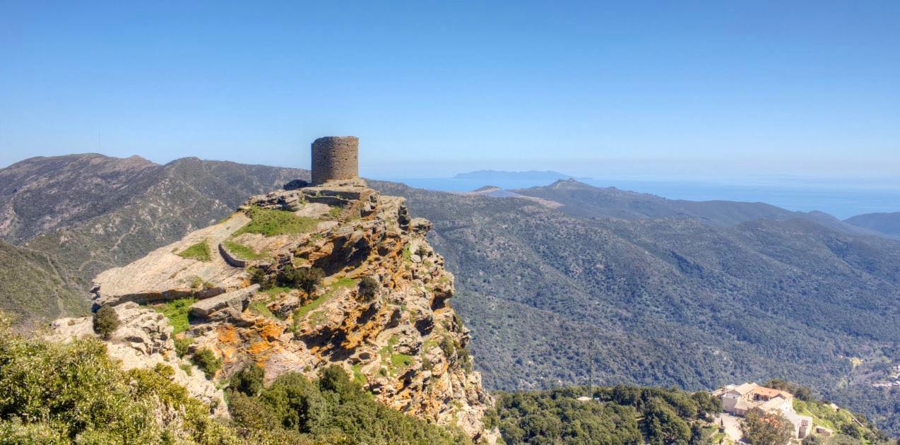
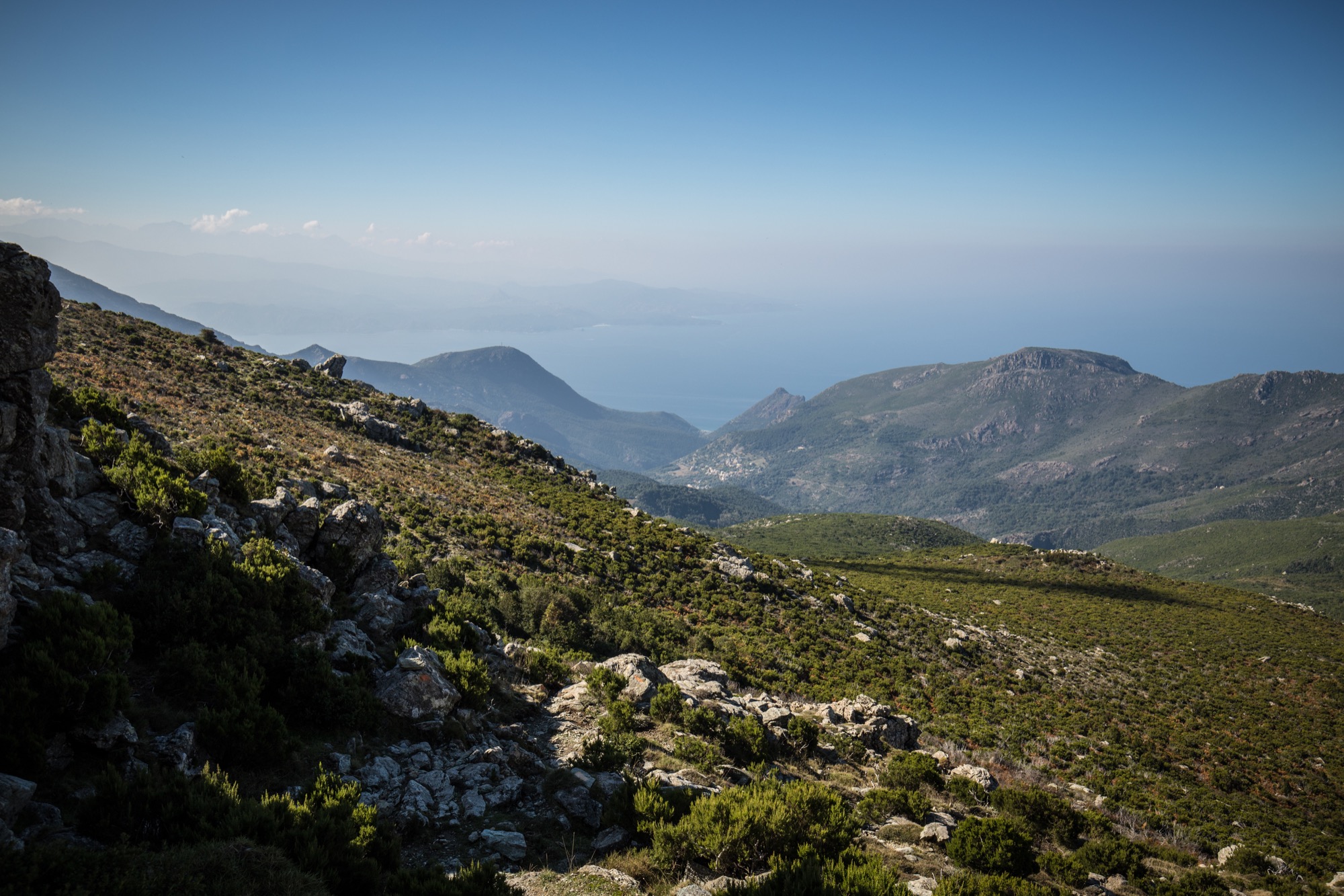
Ascent of the second highest summit of Cap Corse (1,307 m) via a rocky path winding through low vegetation. Nice panorama on the east and west coasts.

Already more than 200,000 users!
Uphill
1028m
Highest point
1291m
Downhill
1028m
Lowest point
309m
Route type
There and back
Download the map on your smartphone to save battery and rest assured to always keep access to the route, even without signal.
Includes IGN France and Swisstopo.
I indicate whether dogs are allowed or prohibited on this trail
Can be difficult in Winter
0 ratings
Also enjoy:

Already more than 200,000 users!