Uphill
291m
Length
37km
Duration
10h
Elev gain
291m
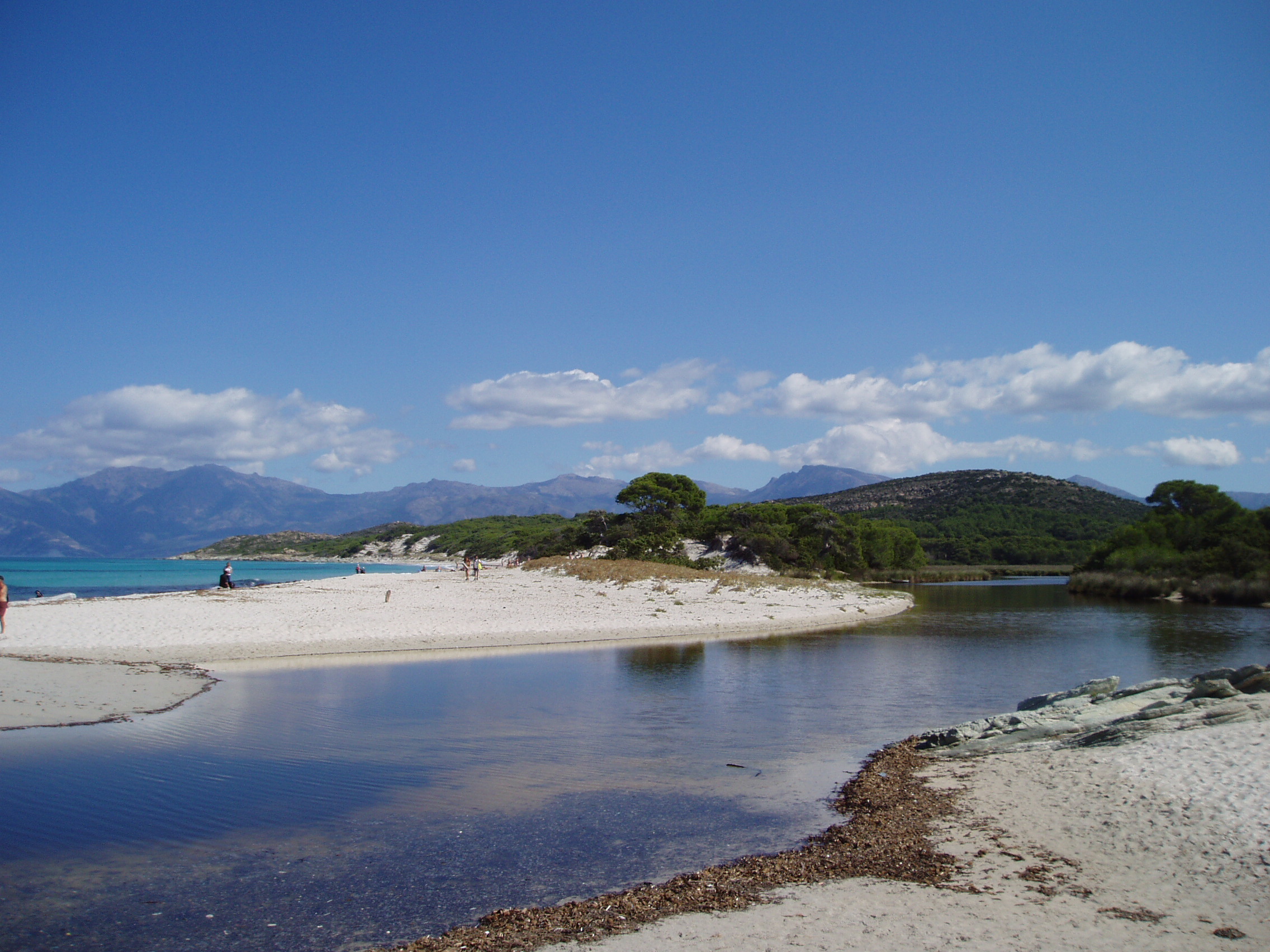
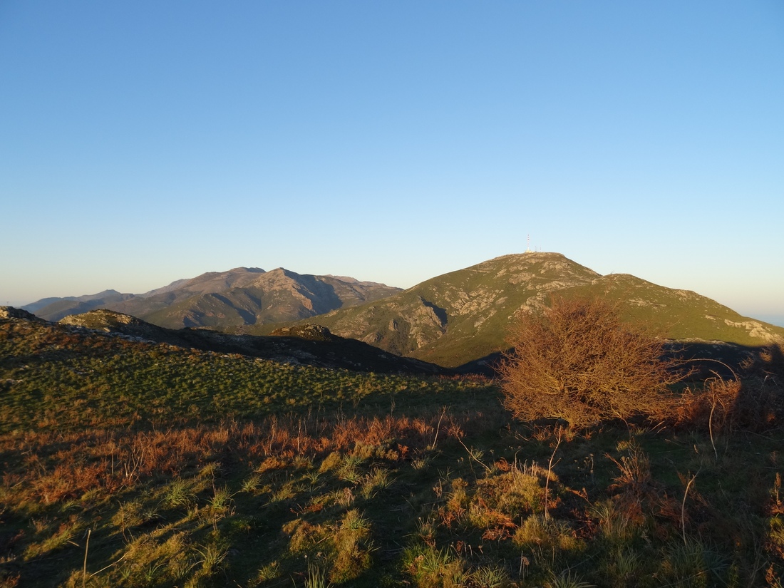
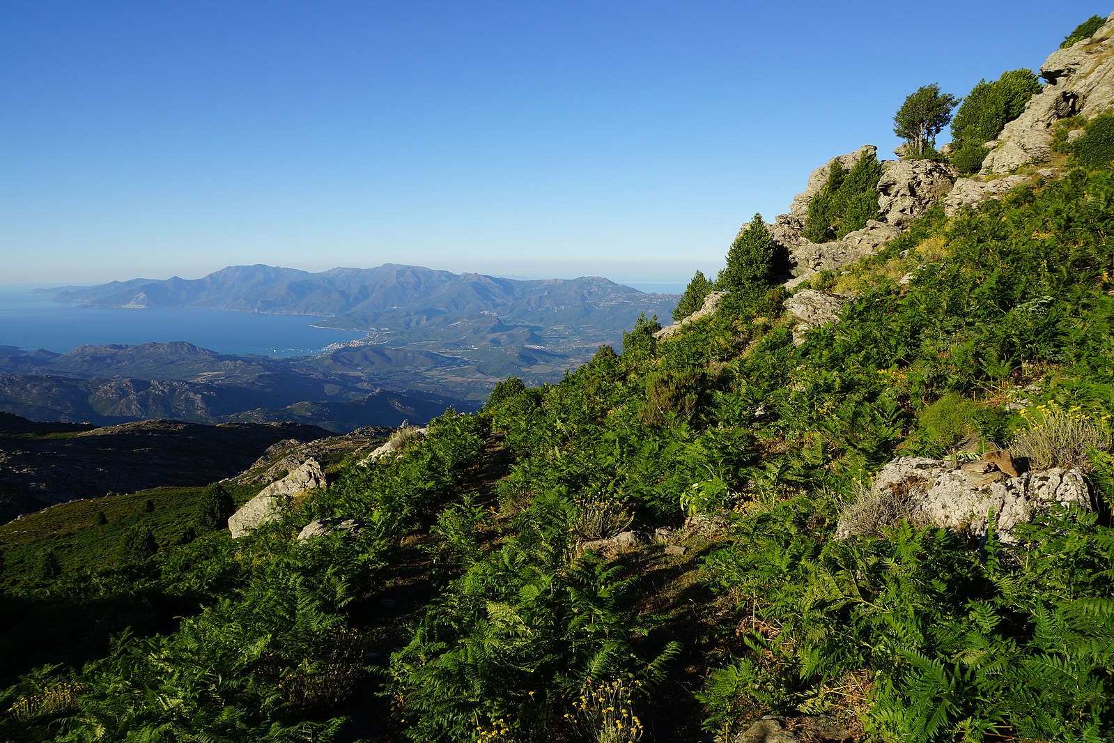
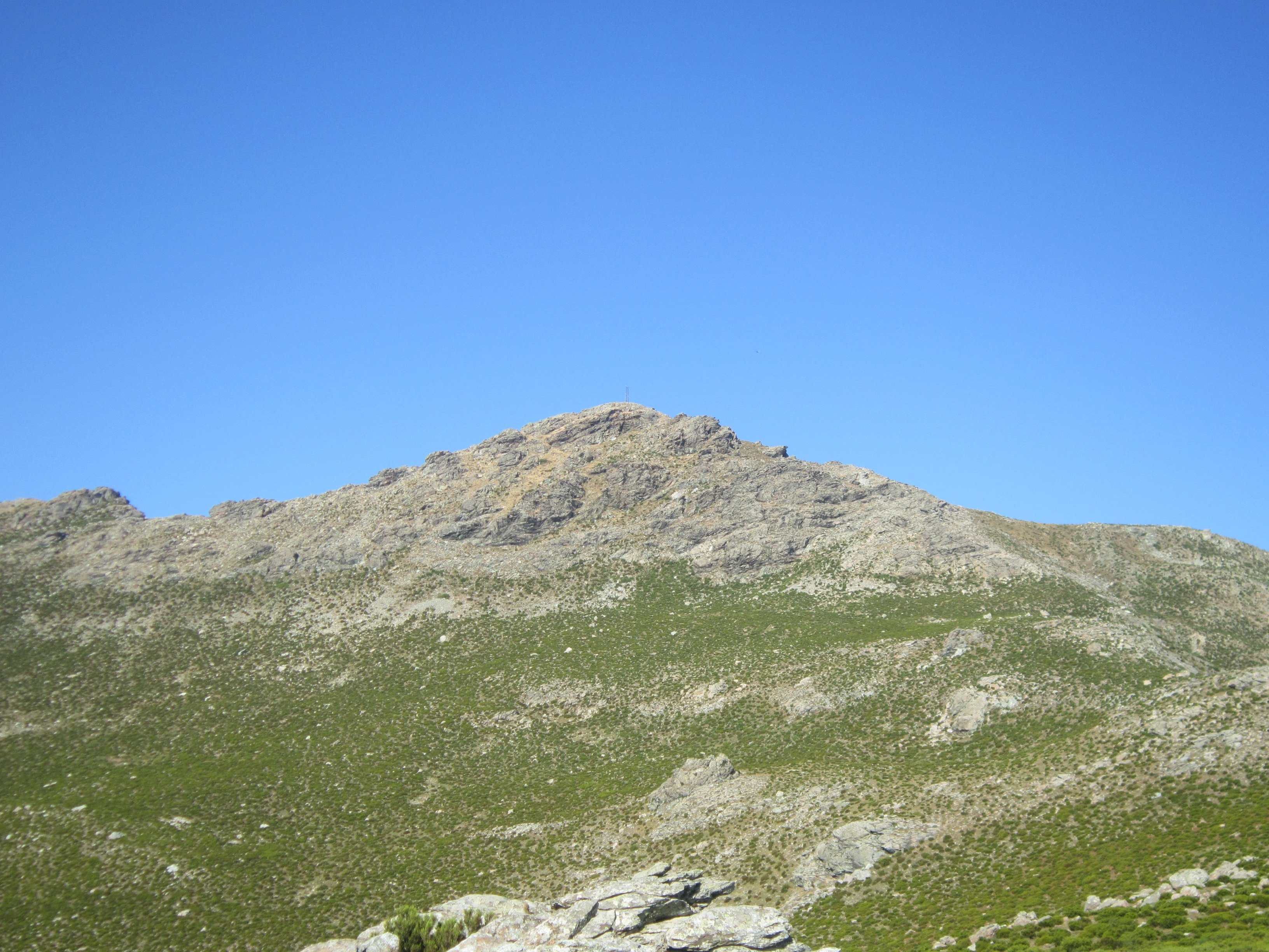
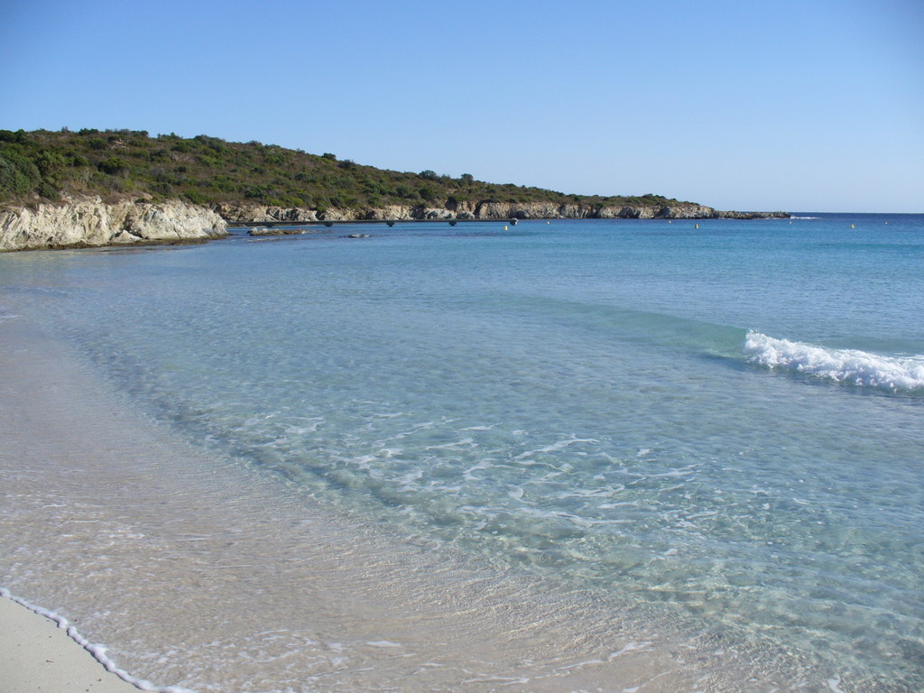
Long hike along an unspoiled coast, bordering the Agriates desert. It is possible to do this hike over two days, the Ghignu refuge being located roughly halfway.

Already more than 200,000 users!
Uphill
291m
Highest point
115m
Downhill
291m
Lowest point
0m
Route type
One way
Download the map on your smartphone to save battery and rest assured to always keep access to the route, even without signal.
Includes IGN France and Swisstopo.
Start from Saint-Florent: parking de la plage La Roya.
Start from West: parking de la plage de l'Ostriconi.
I indicate whether dogs are allowed or prohibited on this trail
All year
0 ratings
Also enjoy:

Already more than 200,000 users!