Uphill
1002m
Length
13km
Duration
7h
Elev gain
1002m
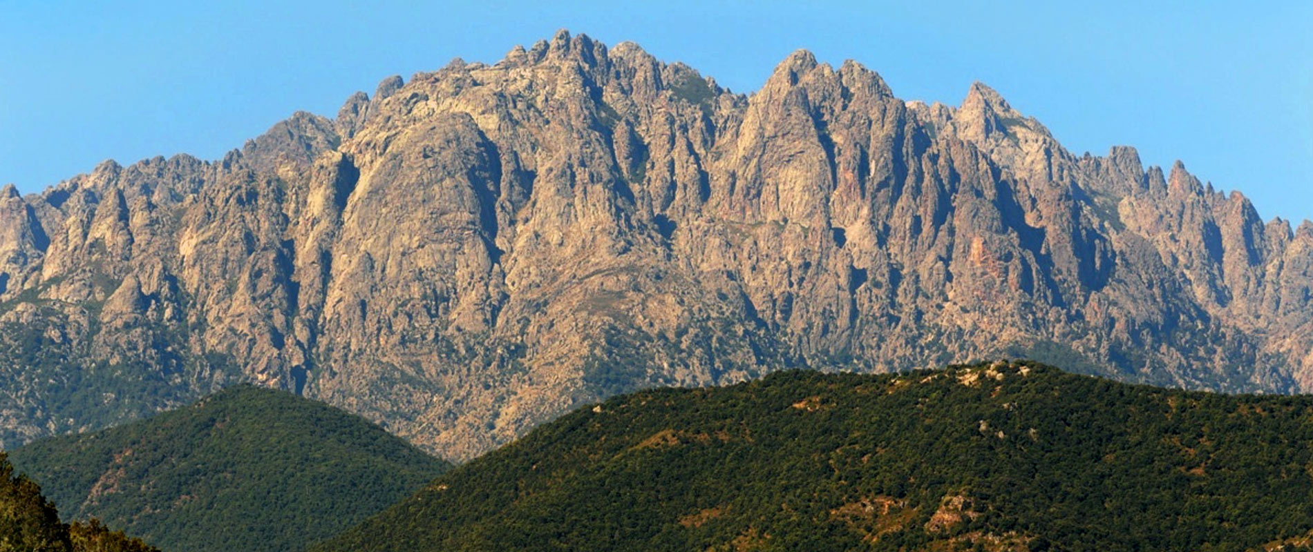
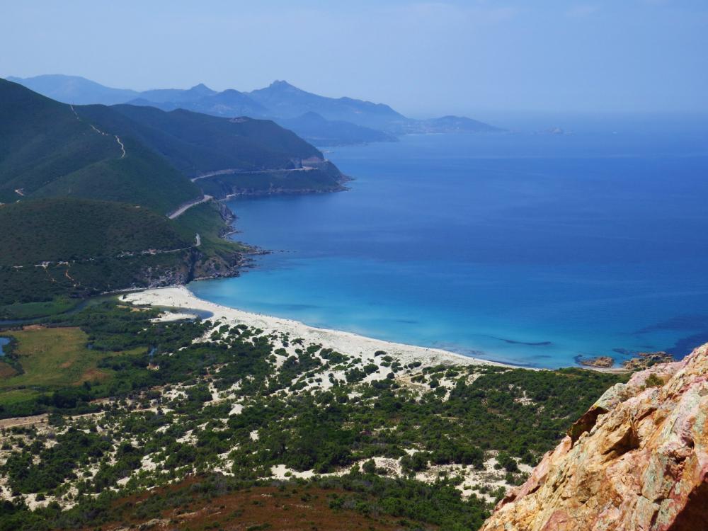
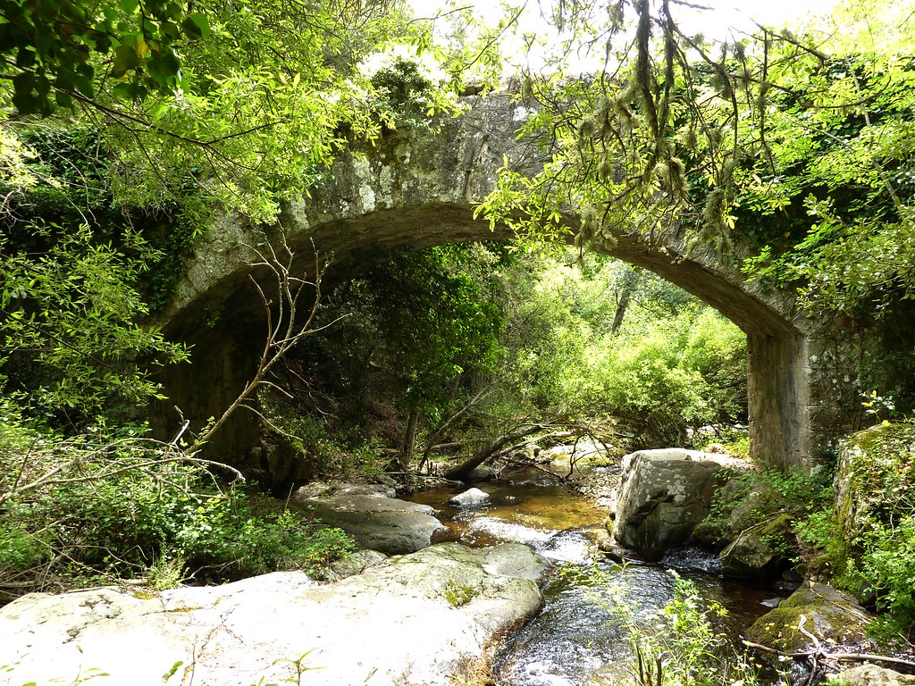
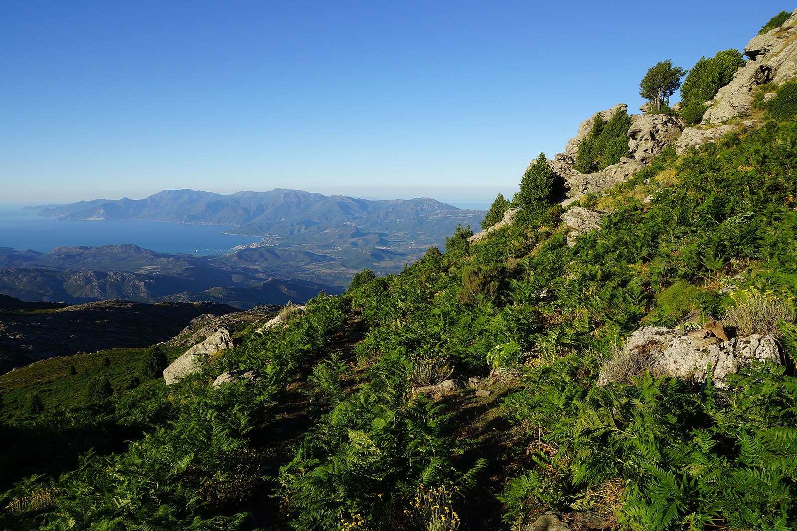
Round trip hike to the summit of Monte Astu (1,535 m). The elevation gain is important, but the 360° view of the Balagne is up to the effort.

Already more than 200,000 users!
Uphill
1002m
Highest point
1489m
Downhill
1002m
Lowest point
495m
Route type
There and back
Download the map on your smartphone to save battery and rest assured to always keep access to the route, even without signal.
Includes IGN France and Swisstopo.
I indicate whether dogs are allowed or prohibited on this trail
Can be difficult in Winter
2 ratings
superbe vue du sommet.
Also enjoy:

Already more than 200,000 users!