Uphill
1978m
Length
18km
Duration
13h
Elev gain
1978m
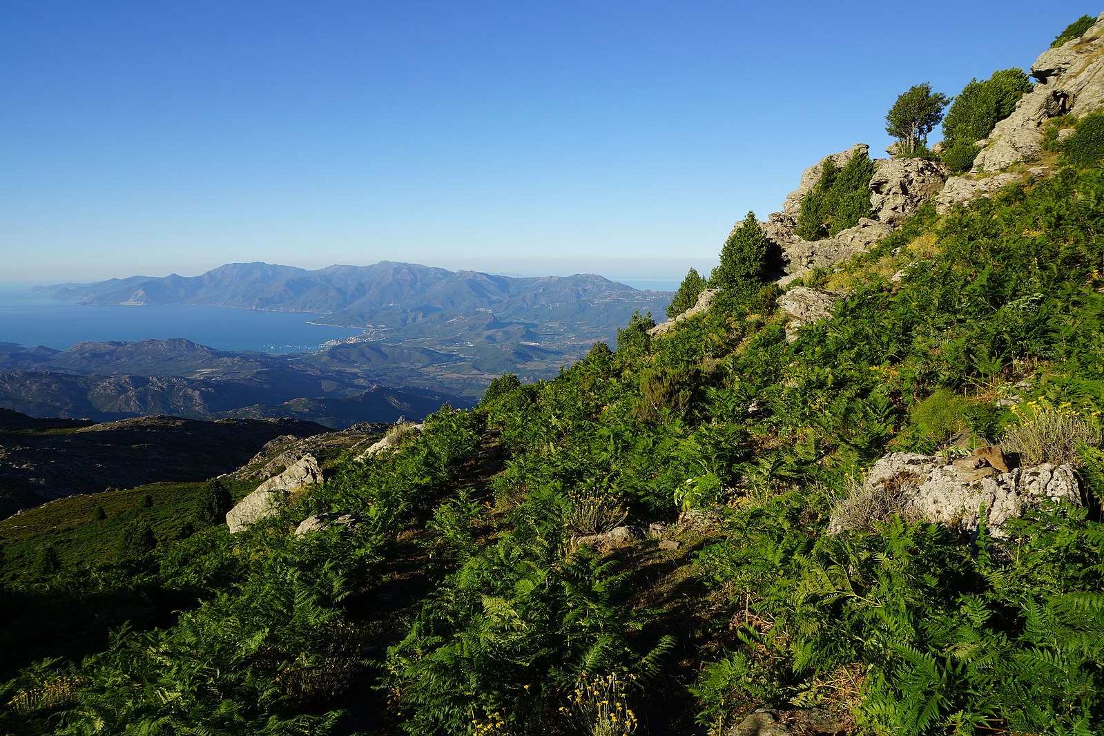
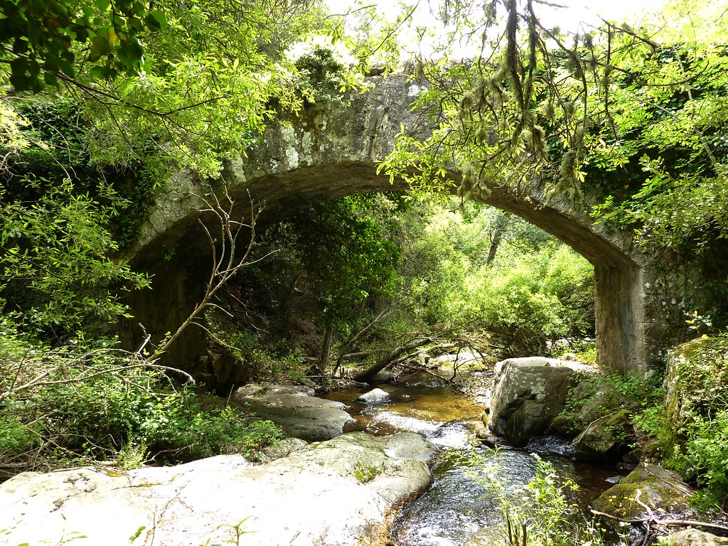
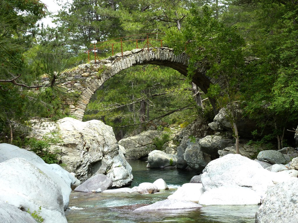
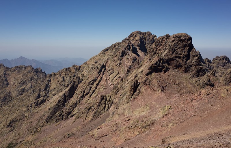
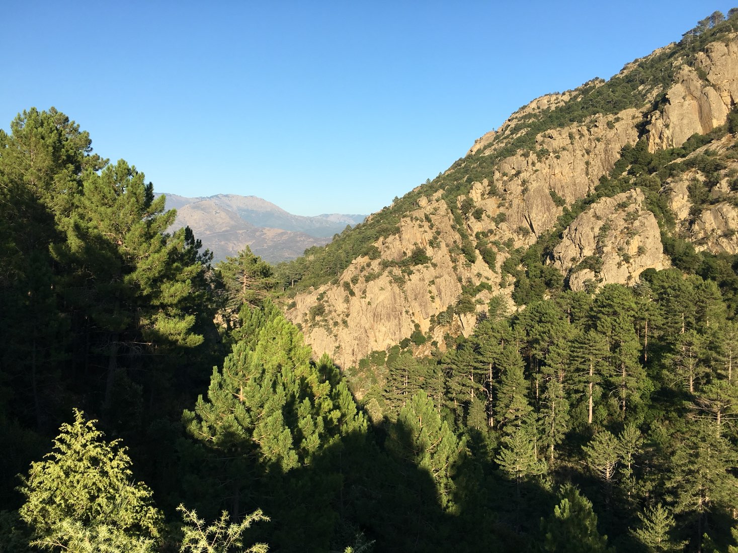
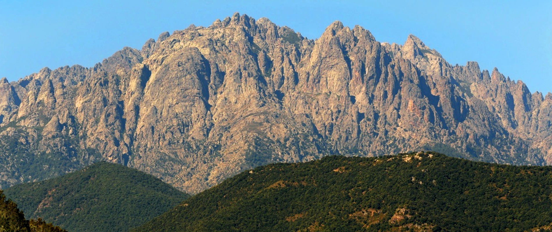
Round trip hike to the Cima a i Mori summit (2,180 m). Be careful, the elevation gain is significant!

Already more than 200,000 users!
Uphill
1978m
Highest point
2143m
Downhill
1978m
Lowest point
302m
Route type
There and back
Download the map on your smartphone to save battery and rest assured to always keep access to the route, even without signal.
Includes IGN France and Swisstopo.
I indicate whether dogs are allowed or prohibited on this trail
From May to September
0 ratings
Also enjoy:

Already more than 200,000 users!