Uphill
365m
Length
9km
Duration
3h
Elev gain
365m
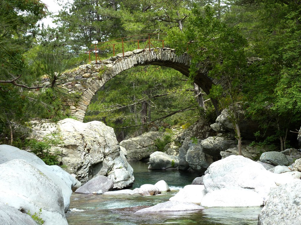
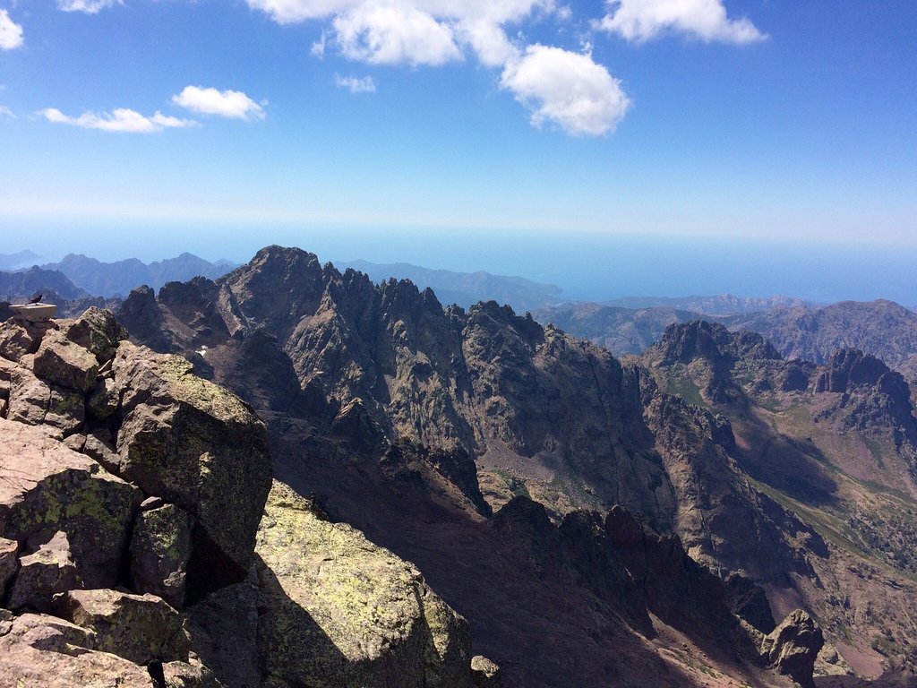
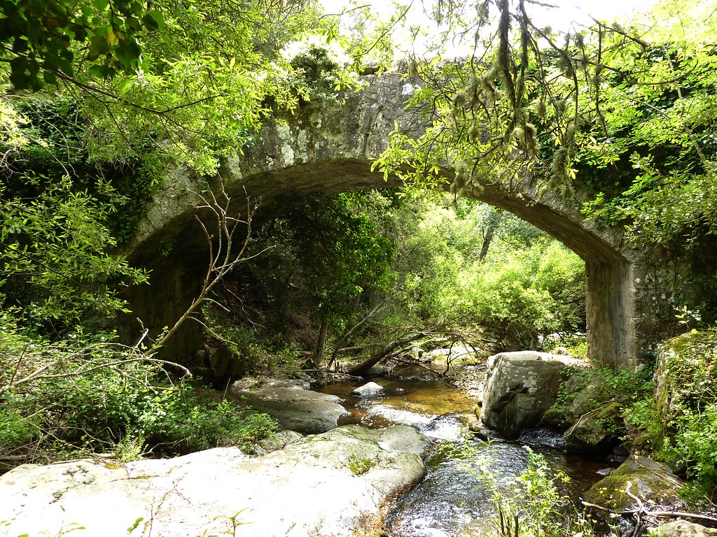
This hike from Olmi-Cappella passes through the village of Mausoléo, before following the rivers of Francioni and Tartagine. There are several Genoese bridges along the way.
Swimming is possible in natural basins.

Already more than 200,000 users!
Uphill
365m
Highest point
826m
Downhill
365m
Lowest point
536m
Route type
Loop
Download the map on your smartphone to save battery and rest assured to always keep access to the route, even without signal.
Includes IGN France and Swisstopo.
I indicate whether dogs are allowed or prohibited on this trail
All year
4 ratings
Très belle randonnée
De très beau paysage
8km qu’on a fait en 4h on s’arrêtant environ 45 min
Et en admirant les paysages mais si j’ai à la refaire je la ferai dans l’autre sens. En partant sur la gauche de l’église.
Car moins ombragé sur la dernière partie.
Also enjoy:

Already more than 200,000 users!