Uphill
1345m
Length
11km
Duration
8h30min
Elev gain
1345m
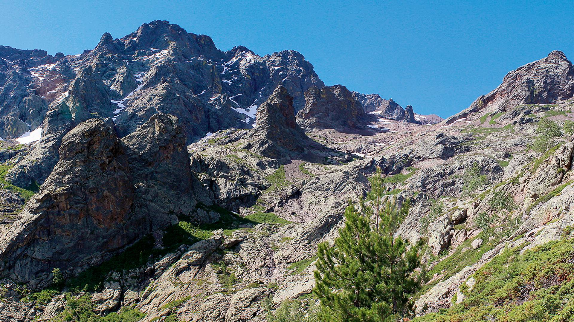
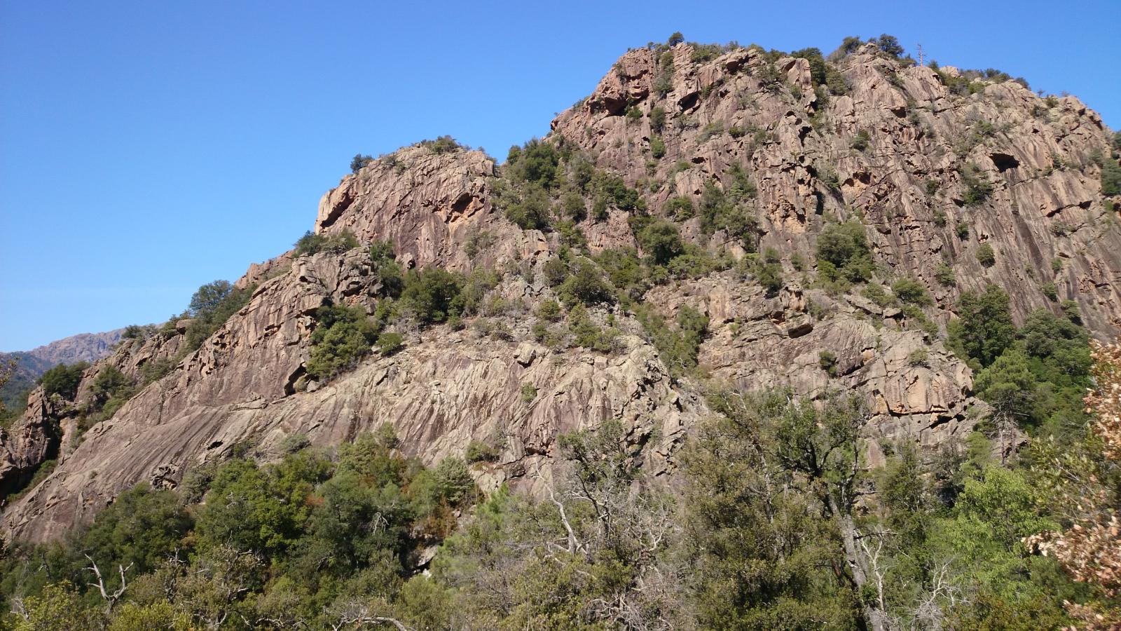
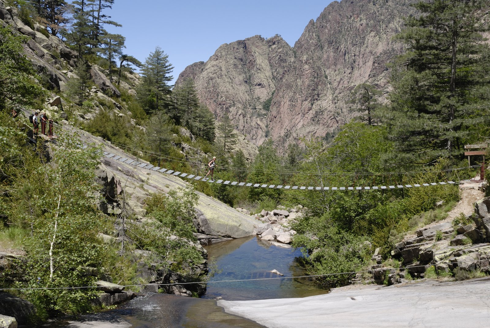
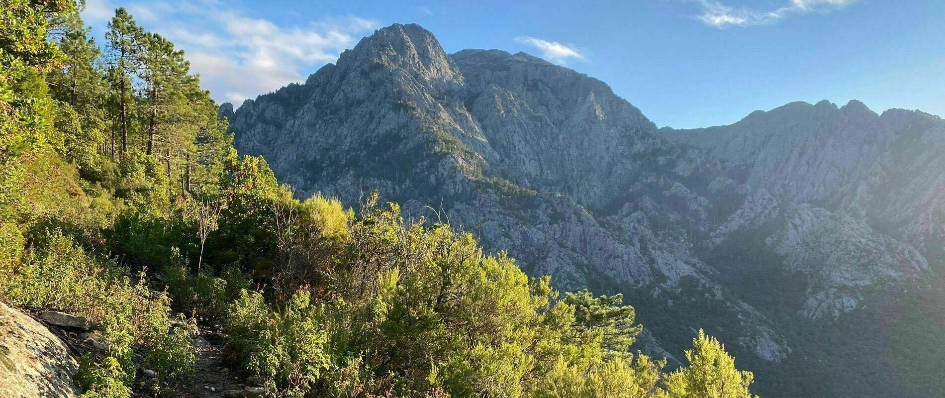
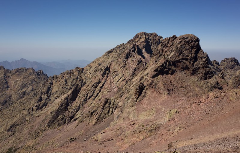
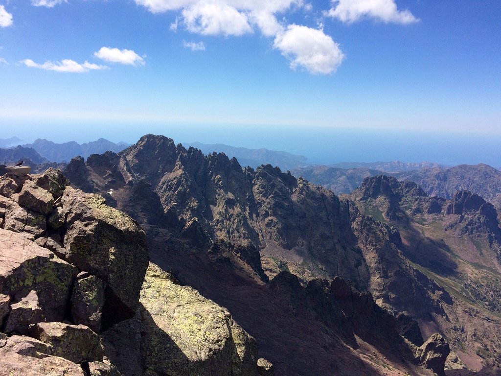
Difficult ascent of the highest Corsican summit, from Asco. The climb is steep and the path full of stones, but the view is spectacular.

Already more than 200,000 users!
Uphill
1345m
Highest point
2666m
Downhill
1345m
Lowest point
1418m
Route type
There and back
Download the map on your smartphone to save battery and rest assured to always keep access to the route, even without signal.
Includes IGN France and Swisstopo.
I indicate whether dogs are allowed or prohibited on this trail
From June to September
1 rating
Also enjoy:

Already more than 200,000 users!