Uphill
267m
Length
4km
Duration
2h
Elev gain
267m
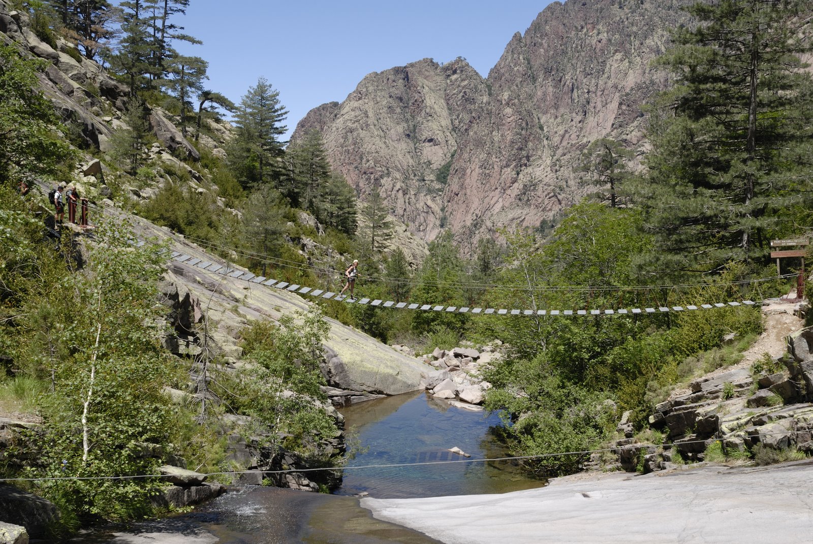
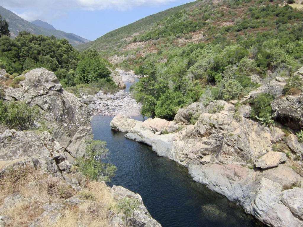
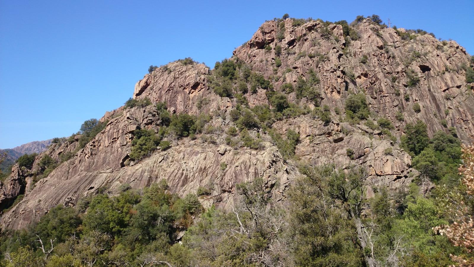
This is a pleasant walk in the forest of Bonifatu.
Note that the river crossing occurring at about 1 km may require removing your shoes. The second crossing is ideal for swimming.

Already more than 200,000 users!
Uphill
267m
Highest point
760m
Downhill
267m
Lowest point
496m
Route type
Loop
Download the map on your smartphone to save battery and rest assured to always keep access to the route, even without signal.
Includes IGN France and Swisstopo.
I indicate whether dogs are allowed or prohibited on this trail
All year
3 ratings
Petite randonnée qui vaut le détour longeant la rivière ou une petite baignade est possible la montée se fait très bien
Also enjoy:

Already more than 200,000 users!