Uphill
471m
Length
5km
Duration
3h
Elev gain
471m
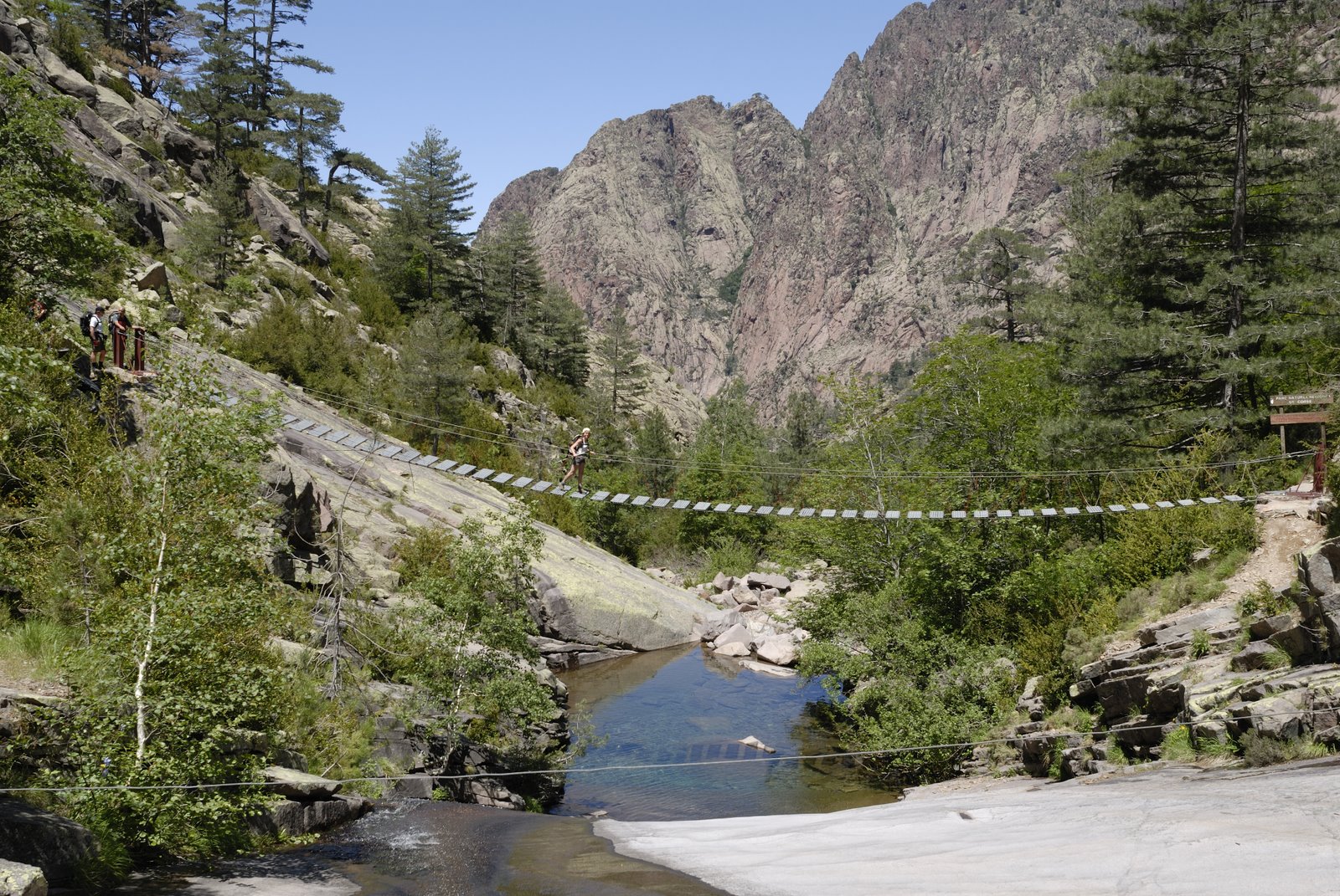
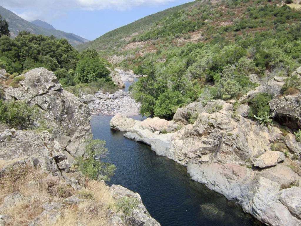
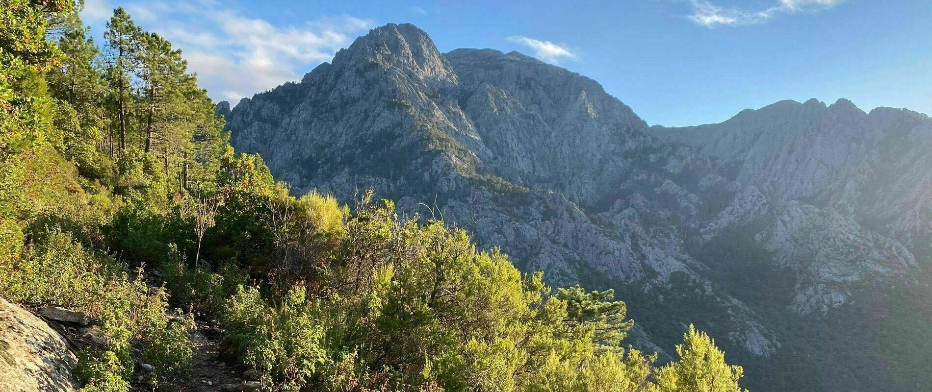
After having taken a footbridge over Figarella, this path climbs into the pretty forest of Bonifatu.
Varied landscapes and swimming possible near the starting point.

Already more than 200,000 users!
Uphill
471m
Highest point
909m
Downhill
471m
Lowest point
493m
Route type
Loop
Download the map on your smartphone to save battery and rest assured to always keep access to the route, even without signal.
Includes IGN France and Swisstopo.
I indicate whether dogs are allowed or prohibited on this trail
All year
1 rating
Also enjoy:

Already more than 200,000 users!