Uphill
1662m
Length
16km
Duration
11h
Elev gain
1662m
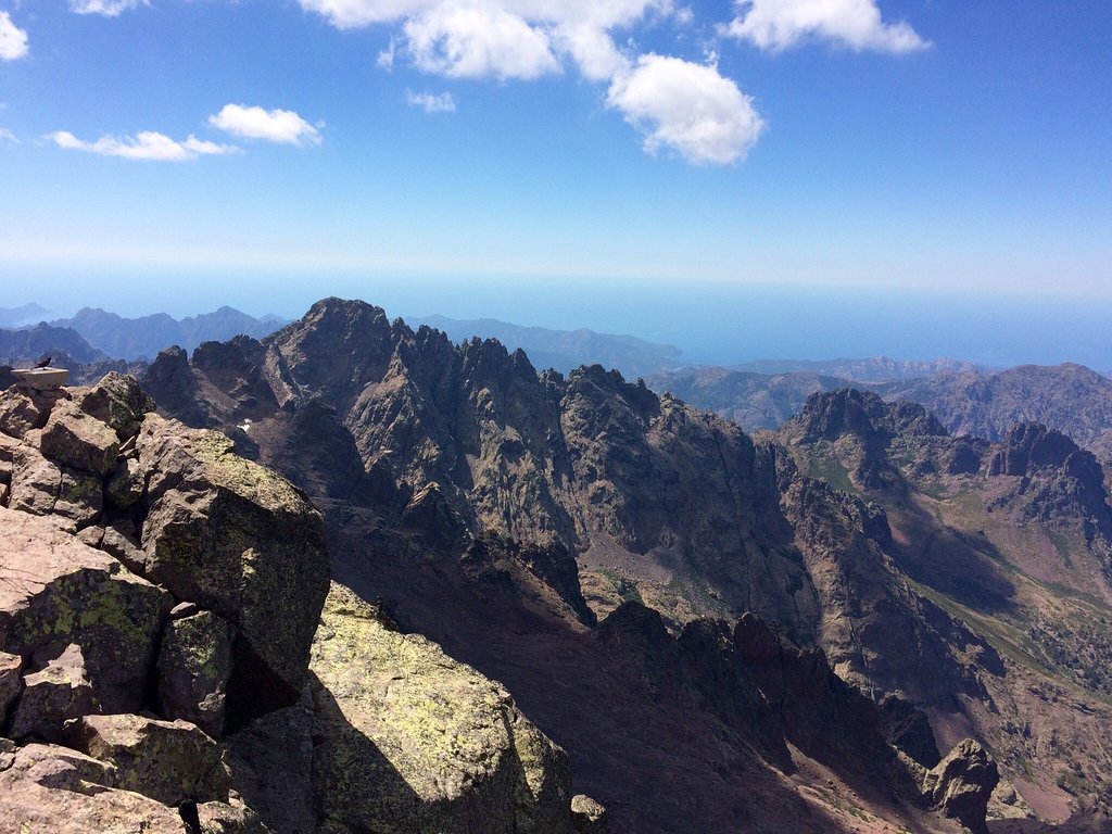
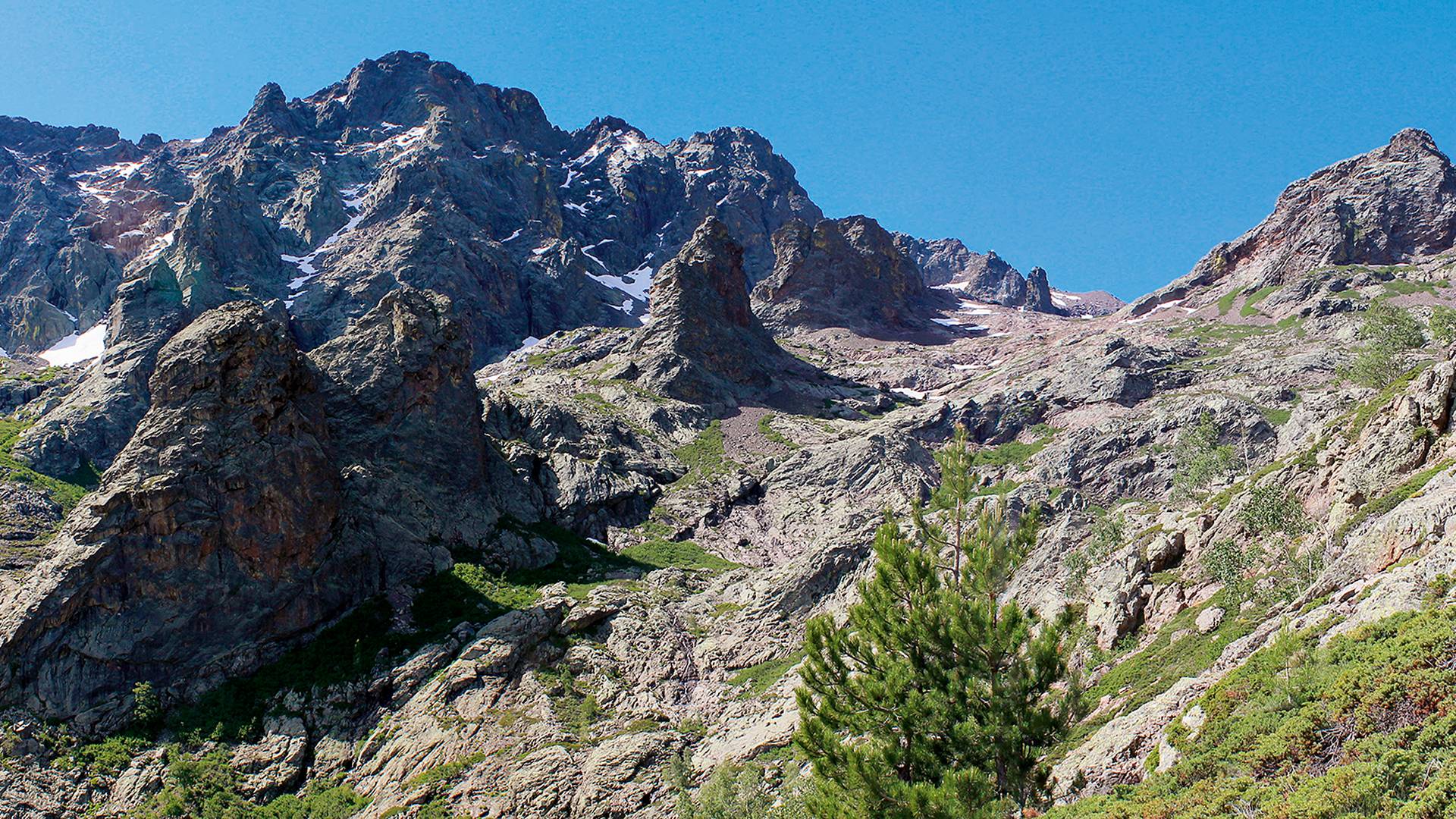
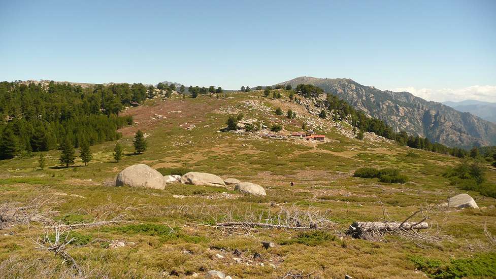
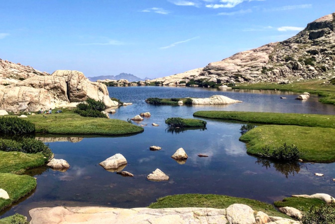
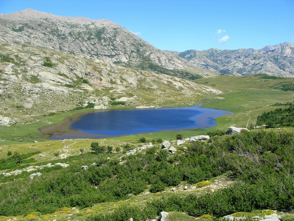
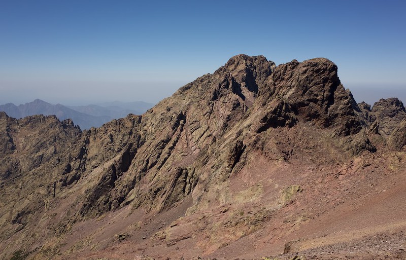
Leaving from Lozzi, this trail allows you to climb Monte Cinto via the south face. Being the highest peak in Corsica, the climb is difficult, but the view is outstanding.

Already more than 200,000 users!
Uphill
1662m
Highest point
2666m
Downhill
1662m
Lowest point
1073m
Route type
There and back
Download the map on your smartphone to save battery and rest assured to always keep access to the route, even without signal.
Includes IGN France and Swisstopo.
I indicate whether dogs are allowed or prohibited on this trail
From June to September
1 rating
Also enjoy:

Already more than 200,000 users!