Uphill
695m
Length
11km
Duration
5h
Elev gain
695m
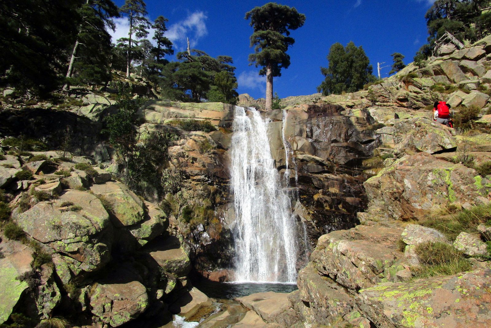
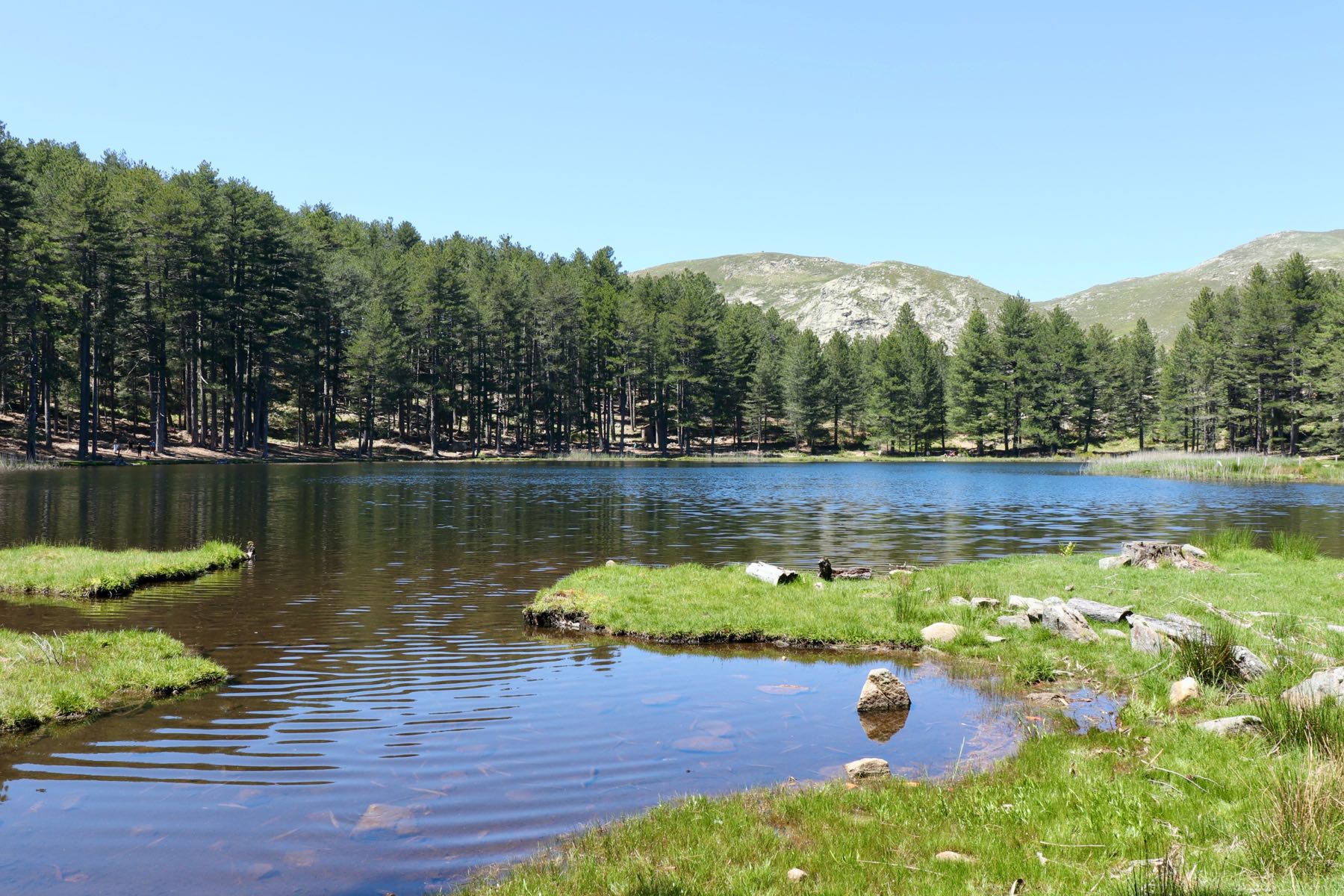
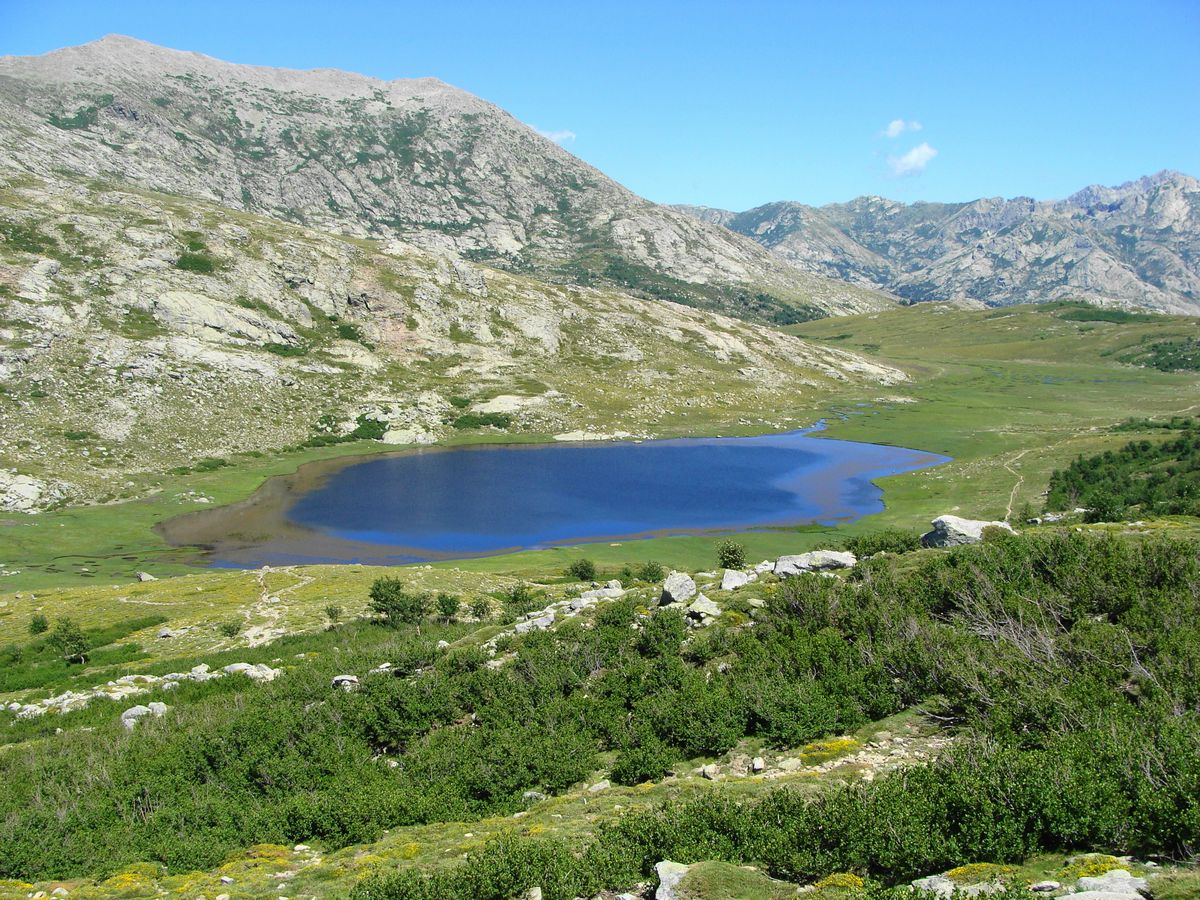
The path leading to this high-altitude lake presents pretty contrasts: pines, a mineral part, then pastures. But the real star of the show is undoubtedly Lake Nino and its bright green pozzines.

Already more than 200,000 users!
Uphill
695m
Highest point
1780m
Downhill
695m
Lowest point
1084m
Route type
There and back
Download the map on your smartphone to save battery and rest assured to always keep access to the route, even without signal.
Includes IGN France and Swisstopo.
I indicate whether dogs are allowed or prohibited on this trail
From May to October
6 ratings
Also enjoy:

Already more than 200,000 users!