Uphill
189m
Length
21km
Duration
6h
Elev gain
189m
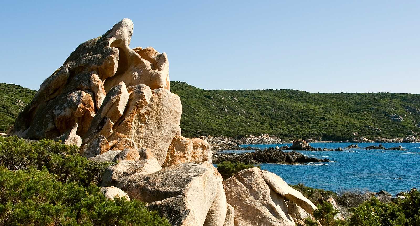
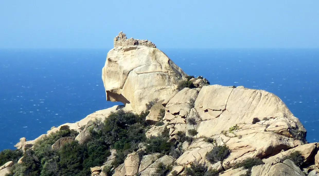
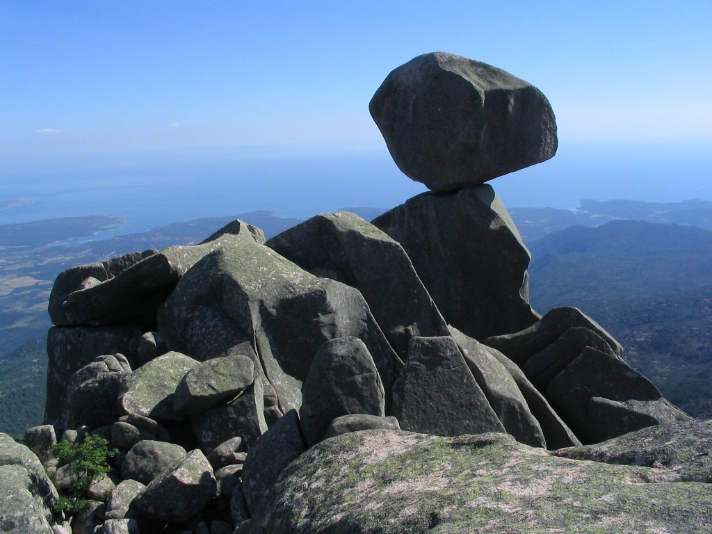
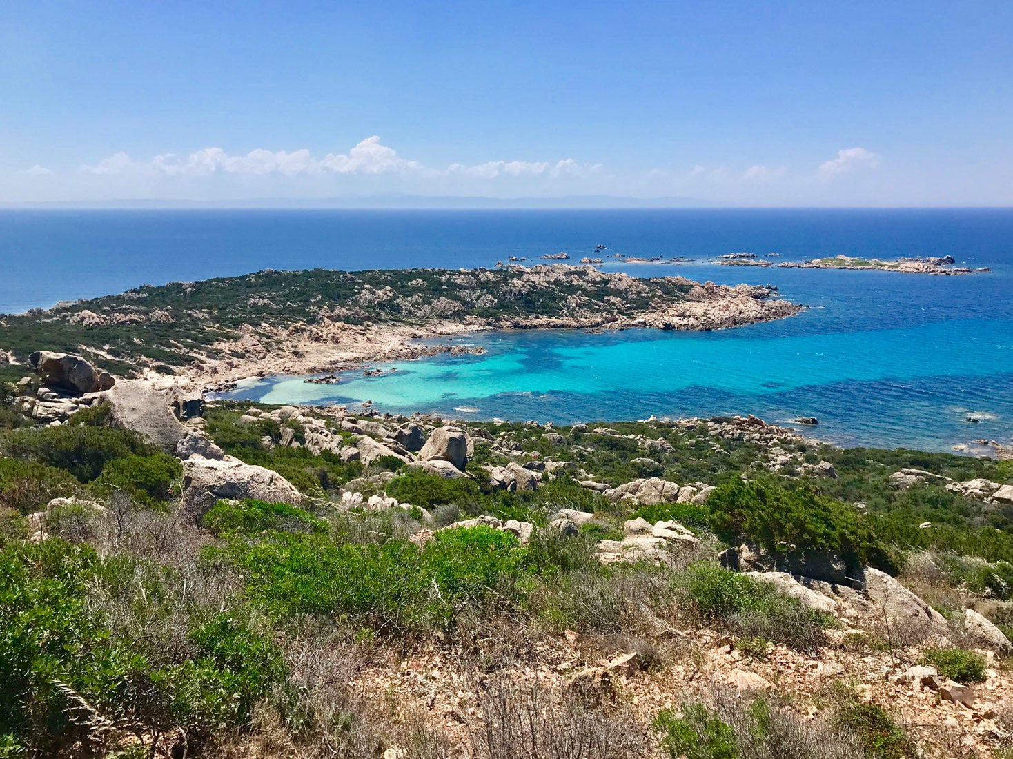
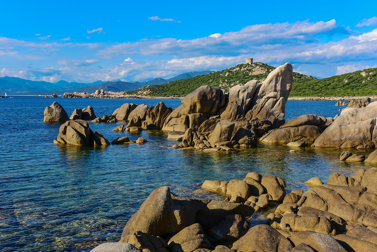
One-way hike on the coastal path between Tizzano and Campomoro, in the heart of magnificent wild landscapes. We particularly appreciate the Senetosa lighthouse, as well as the coves of Cala di Conca and Tivella.
No particular difficulty, except the length and the lack of shade.

Already more than 200,000 users!
Uphill
189m
Highest point
50m
Downhill
173m
Lowest point
0m
Route type
One way
Download the map on your smartphone to save battery and rest assured to always keep access to the route, even without signal.
Includes IGN France and Swisstopo.
0 ratings
Also enjoy:

Already more than 200,000 users!