Uphill
148m

Length
10km
Duration
3h
Elev gain
148m
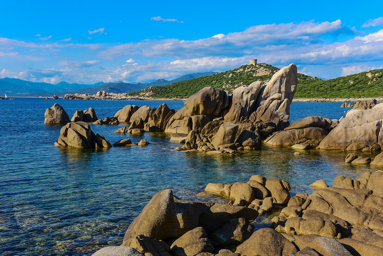
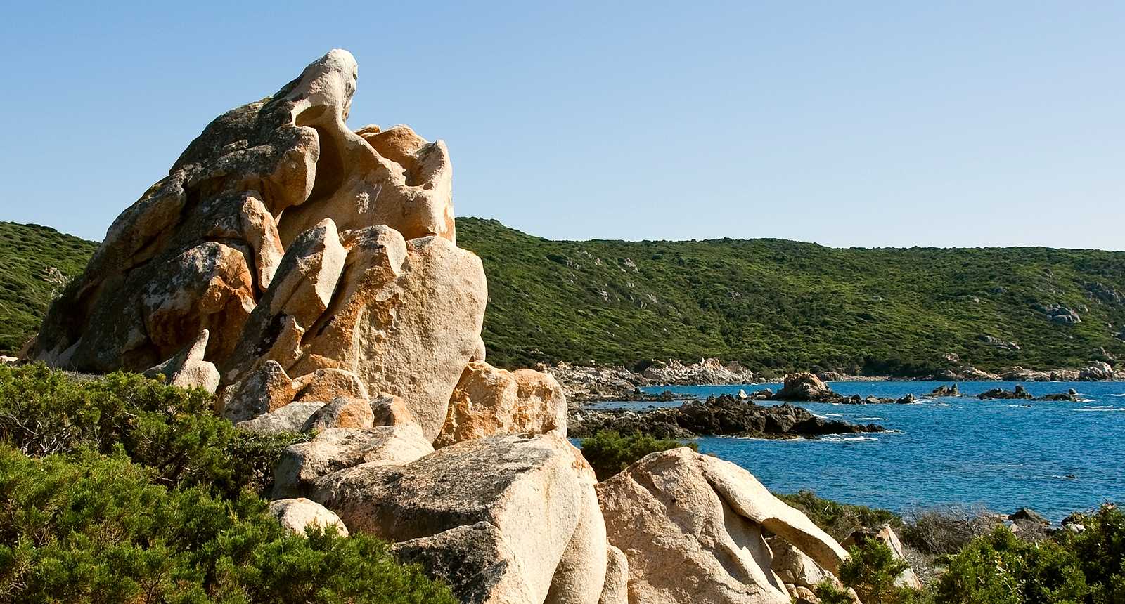
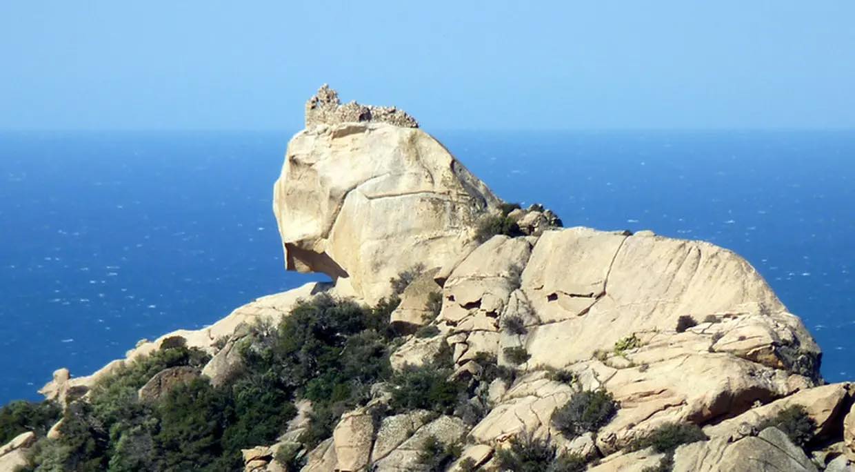
Round trip walk to Senetosa lighthouse, on a well-marked path bordered by numerous coves suitable for swimming.

Already more than 200,000 users!
Uphill
148m
Highest point
50m
Downhill
148m
Lowest point
0m
Route type
There and back
Download the map on your smartphone to save battery and rest assured to always keep access to the route, even without signal.
Includes IGN France and Swisstopo.
I indicate whether dogs are allowed or prohibited on this trail
All year
1 rating
Also enjoy:

Already more than 200,000 users!