Uphill
263m
Length
9km
Duration
3h
Elev gain
263m
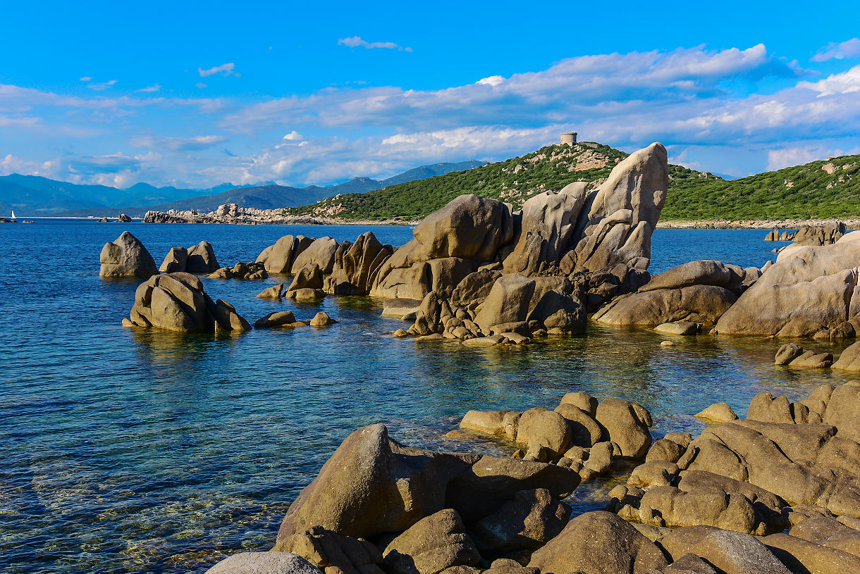
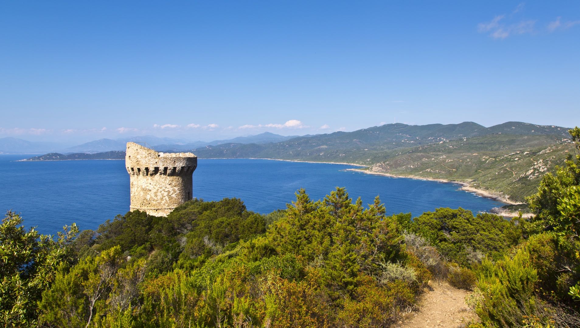
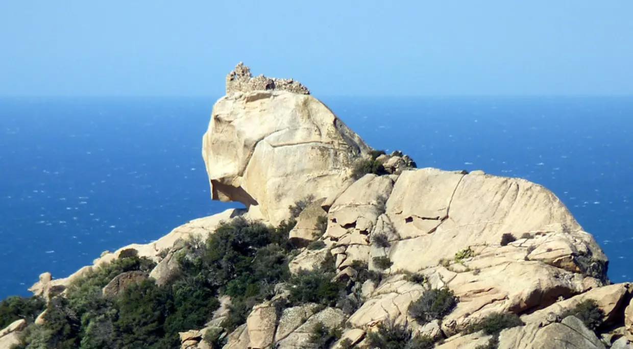
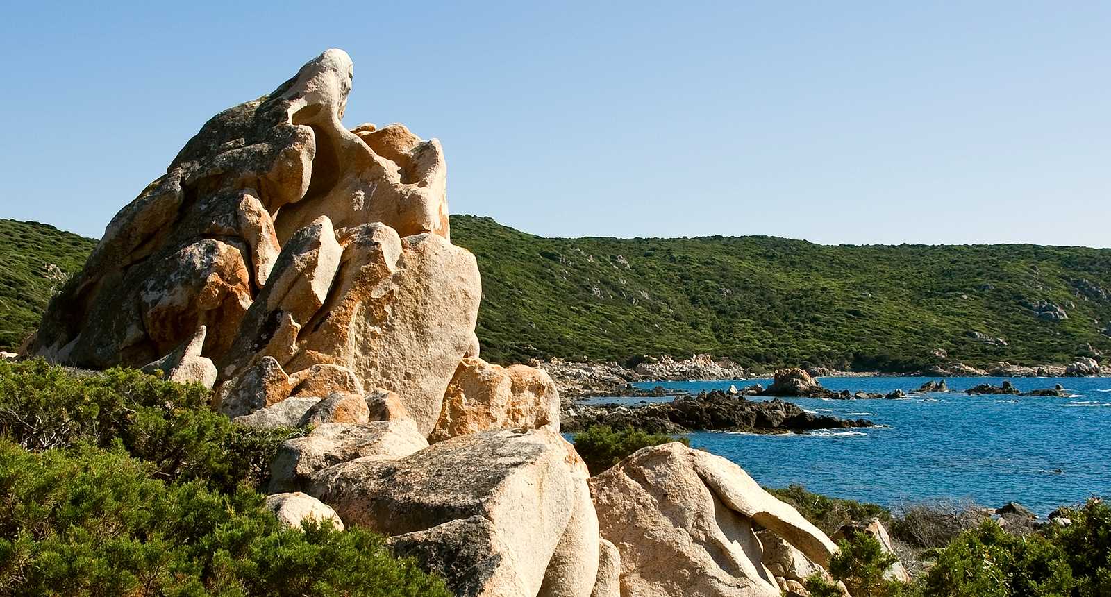
Departing from Campomoro, this trail goes deep into the maquis to reach the Genoese tower of Campomoro, erected in the 16th century. The rest takes place by the sea, alternating between coves and rocky promontories.

Already more than 200,000 users!
Uphill
263m
Highest point
112m
Downhill
263m
Lowest point
5m
Route type
Loop
Download the map on your smartphone to save battery and rest assured to always keep access to the route, even without signal.
Includes IGN France and Swisstopo.
I indicate whether dogs are allowed or prohibited on this trail
All year
8 ratings
Randonnée magnifique 5 étoiles
Au départ une fois quitter la plage il faut emprunter sur 200 m environ un chemin marqué privé. Premièrement un portail cadenasser se qu'on tourne par la gauche.
Bonne rando à tous
•Randonnée magnifique !
•Décor vaste et évolutif !
• Passage au bord de l’eau avec une chaîne qui nous fait grimper sur les rochers ! Moment à couper le souffle avec un paysage extraordinaire !
Also enjoy:

Already more than 200,000 users!