Uphill
853m
Length
14km
Duration
6h30min
Elev gain
853m
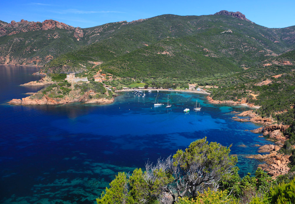
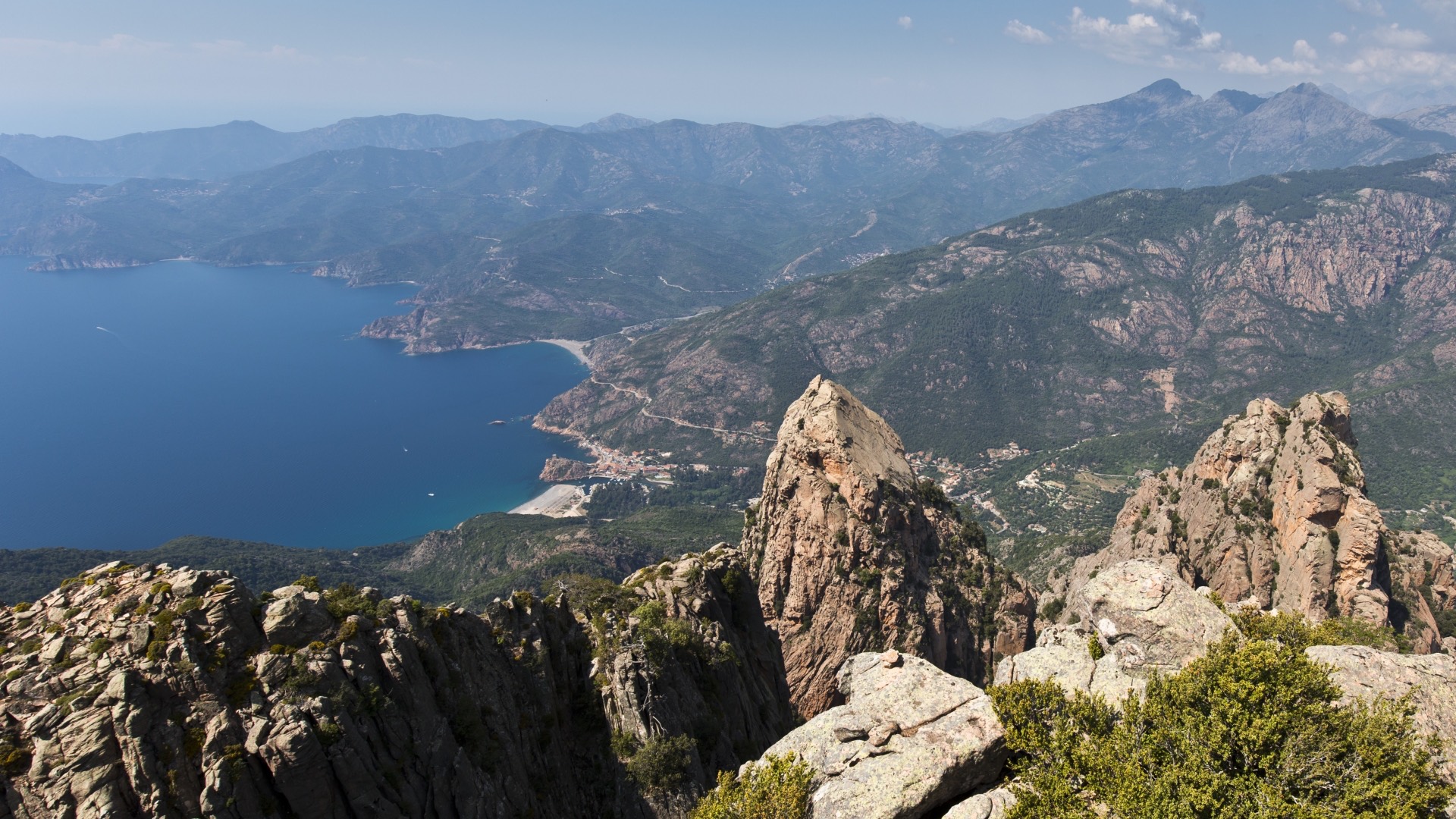
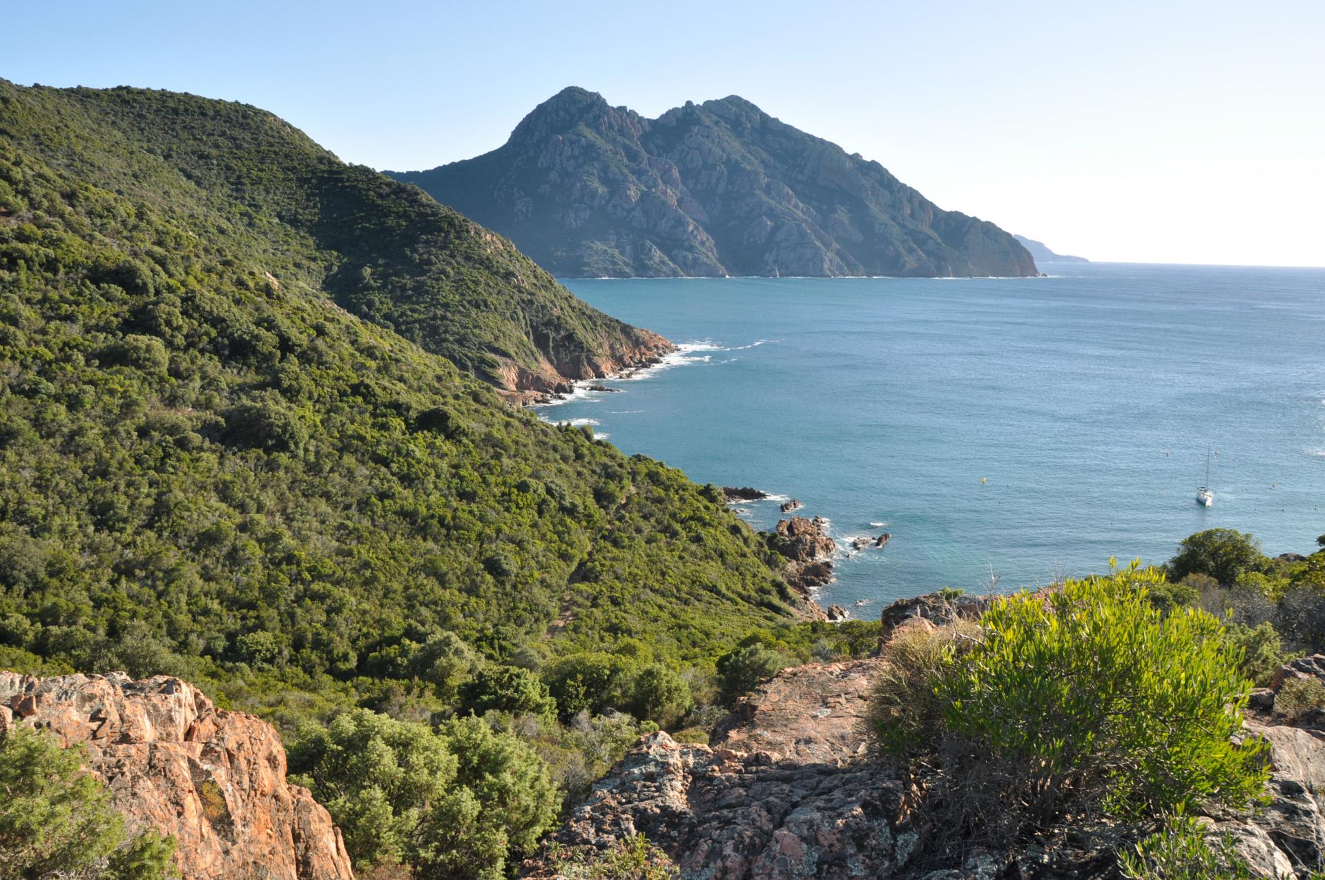
Starting from the Palmarella pass, this path is a more challenging alternative to the classic "sentier du facteur" to reach Girolata. Superb view of the gulf and the Scandola reserve.
Note that the loop ends with 2 kilometers on a road.

Already more than 200,000 users!
Uphill
853m
Highest point
774m
Downhill
853m
Lowest point
0m
Route type
Loop
Download the map on your smartphone to save battery and rest assured to always keep access to the route, even without signal.
Includes IGN France and Swisstopo.
I indicate whether dogs are allowed or prohibited on this trail
All year
0 ratings
Also enjoy:

Already more than 200,000 users!