Uphill
583m
Length
9km
Duration
4h
Elev gain
583m
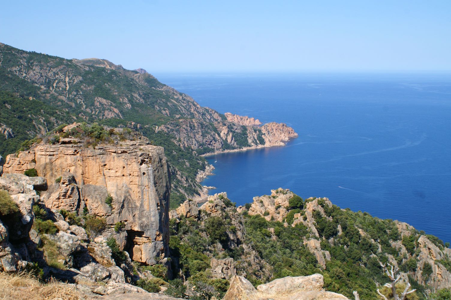
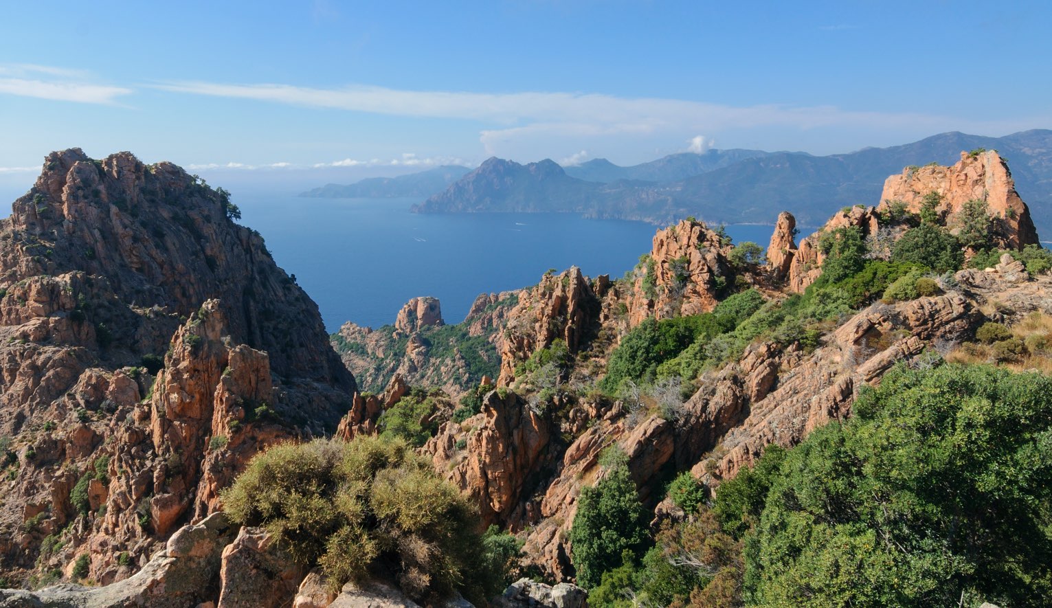
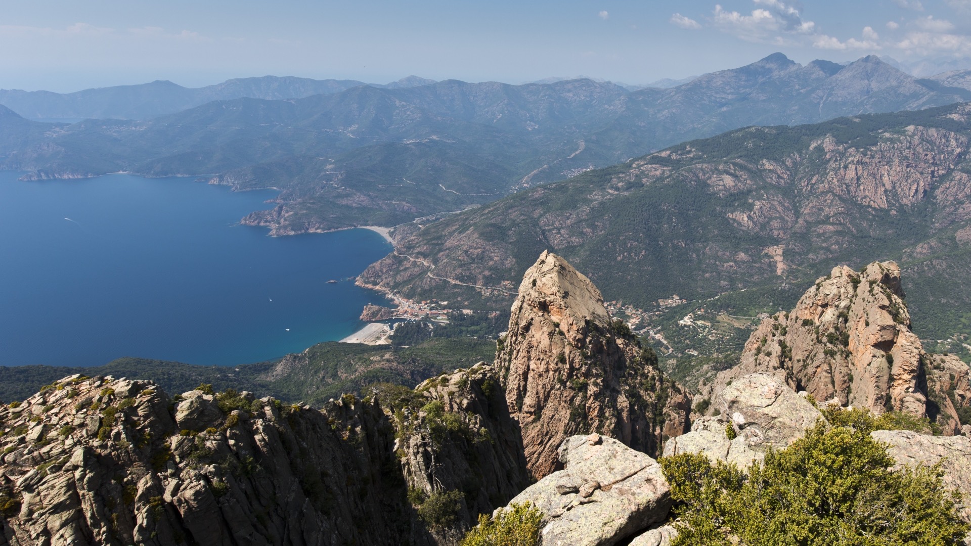
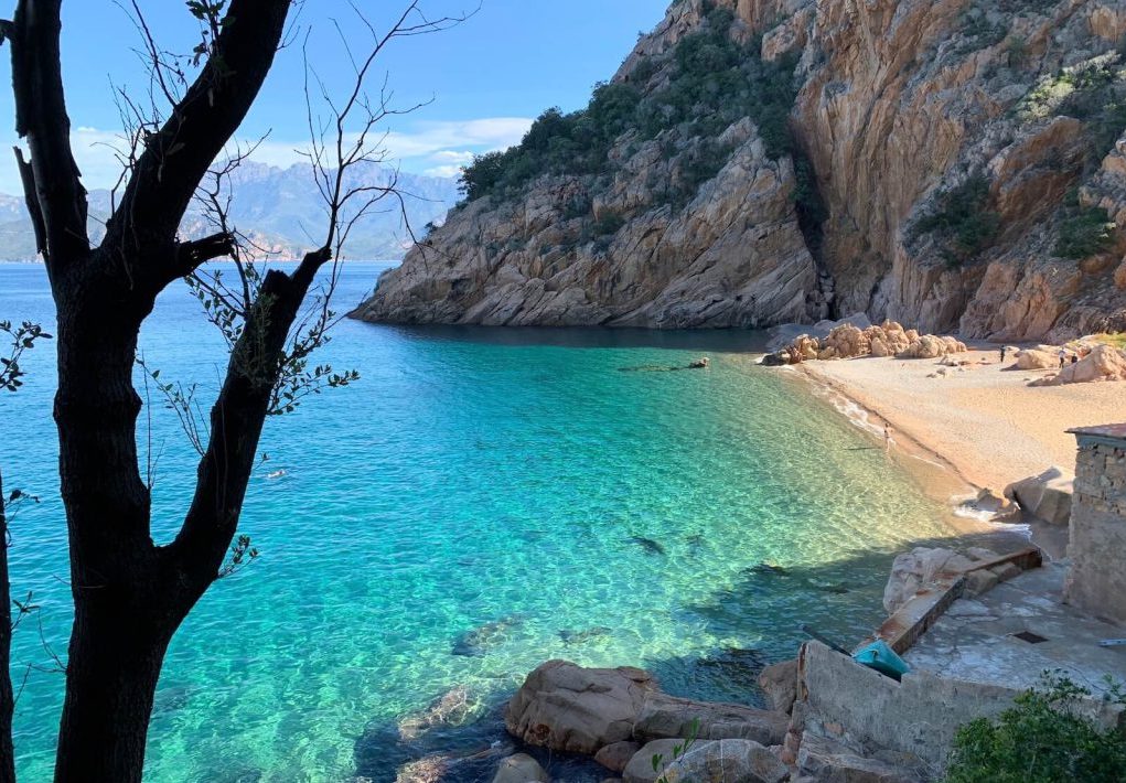
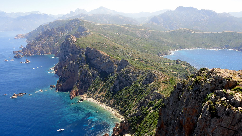
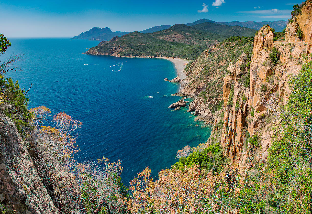
Departing from the Roches Bleues, this is a large loop in the creeks of Piana to the Bocca di Piazza Moninca (910 m). Great sea views.

Already more than 200,000 users!
Uphill
583m
Highest point
944m
Downhill
583m
Lowest point
421m
Route type
Loop
Download the map on your smartphone to save battery and rest assured to always keep access to the route, even without signal.
Includes IGN France and Swisstopo.
I indicate whether dogs are allowed or prohibited on this trail
All year
0 ratings
Also enjoy:

Already more than 200,000 users!