Uphill
424m
Length
6km
Duration
3h
Elev gain
424m
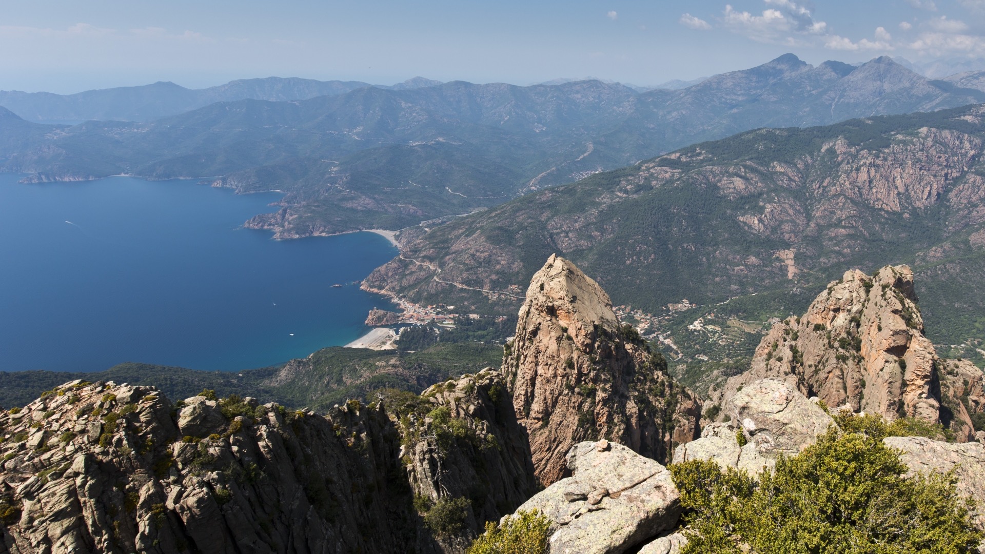
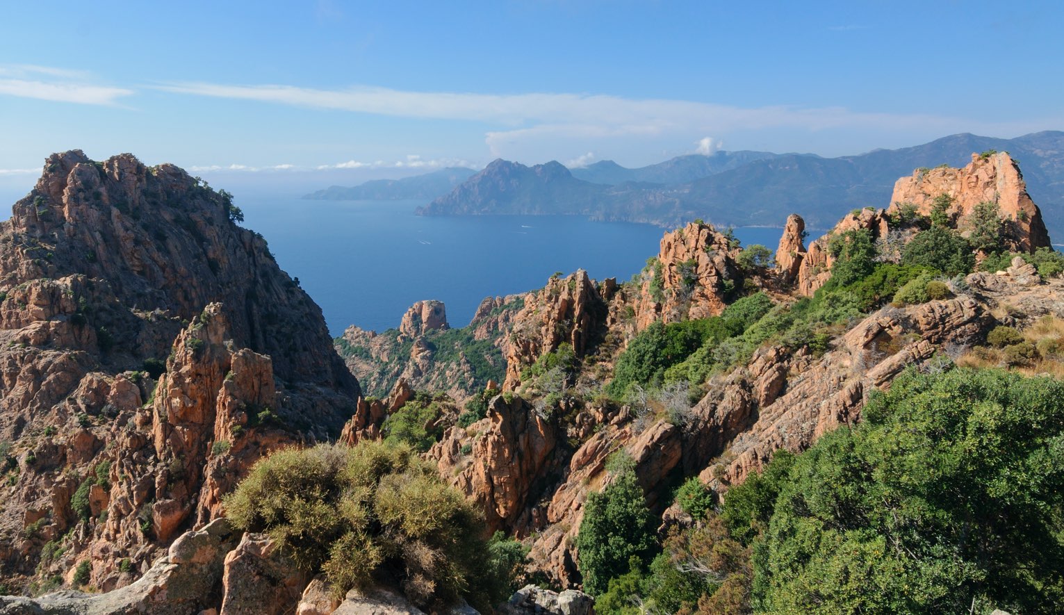
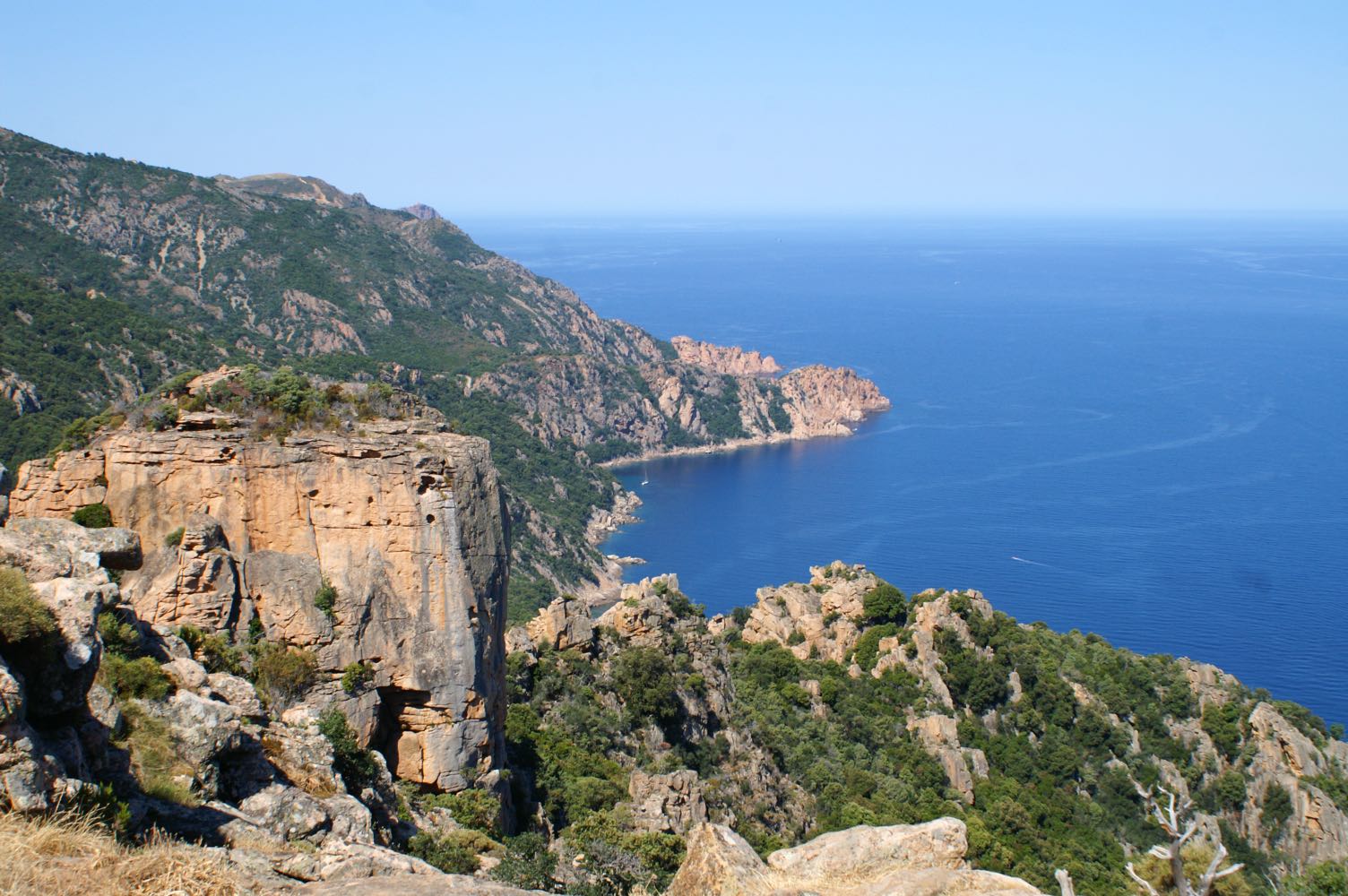
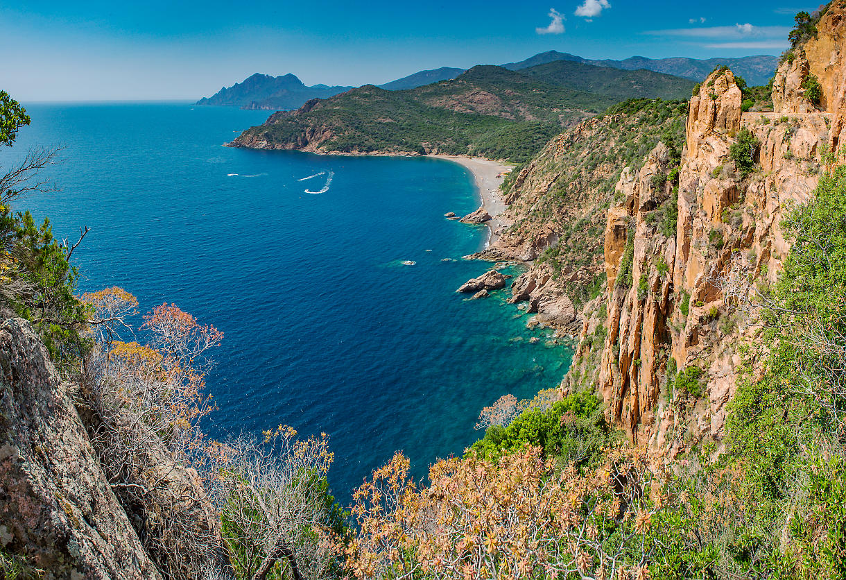
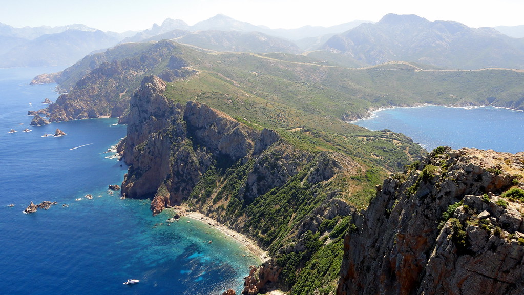
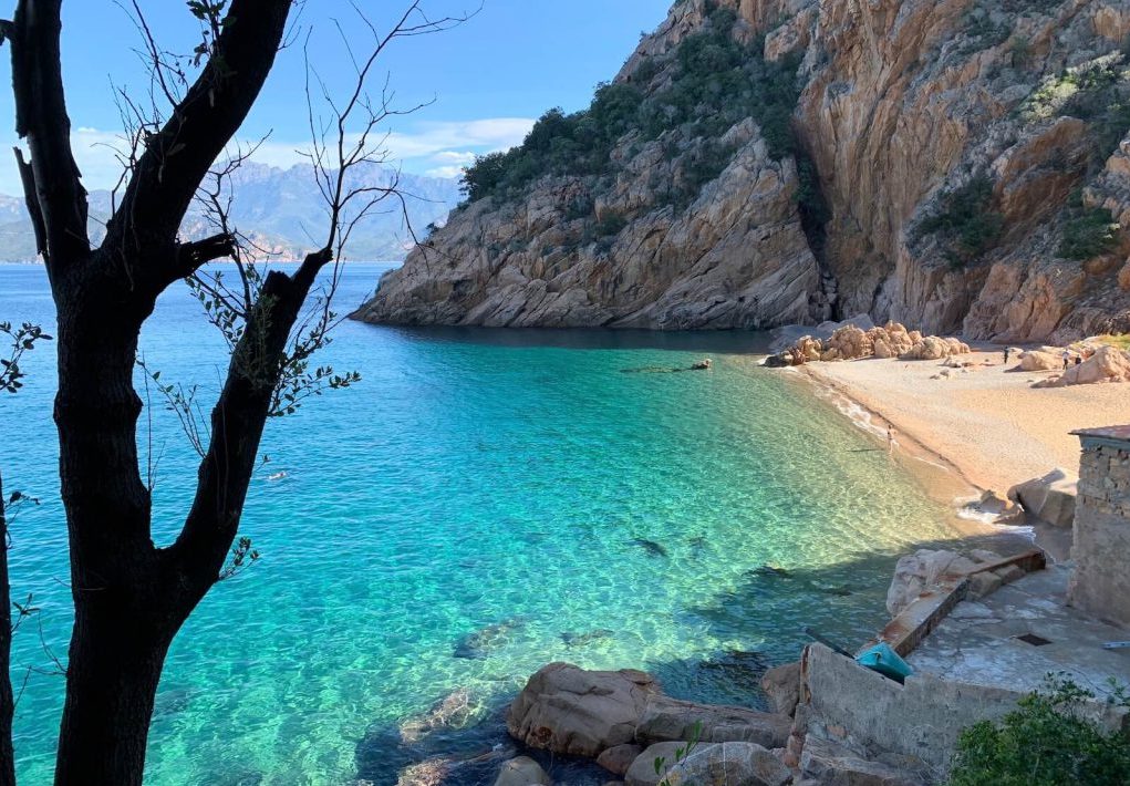
Round trip to Ficajola beach. Pleasant trail with beautiful views and shaded places.

Already more than 200,000 users!
Uphill
424m
Highest point
438m
Downhill
424m
Lowest point
12m
Route type
There and back
Download the map on your smartphone to save battery and rest assured to always keep access to the route, even without signal.
Includes IGN France and Swisstopo.
I indicate whether dogs are allowed or prohibited on this trail
All year
1 rating
Also enjoy:

Already more than 200,000 users!