Uphill
486m
Length
8km
Duration
3h30min
Elev gain
486m
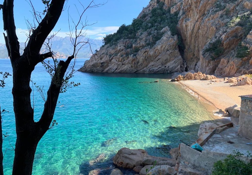
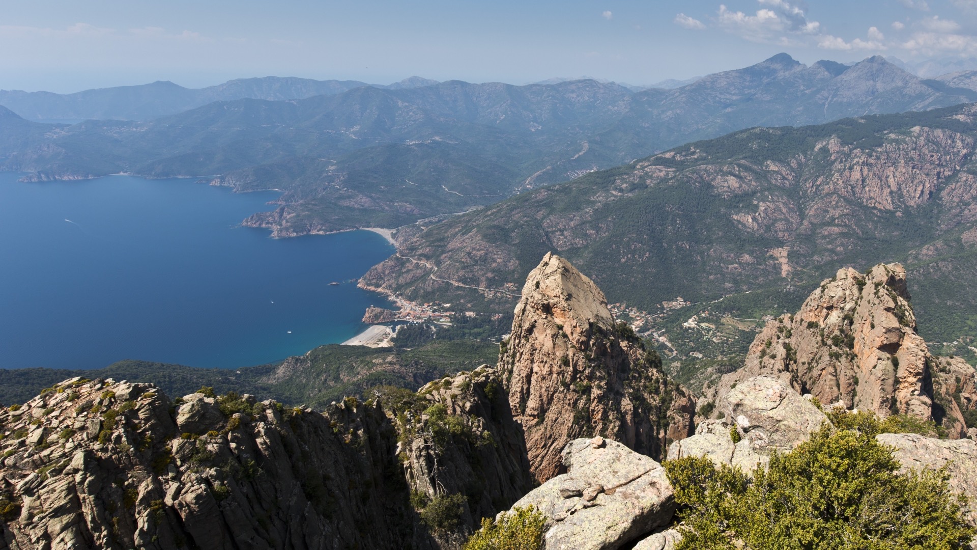
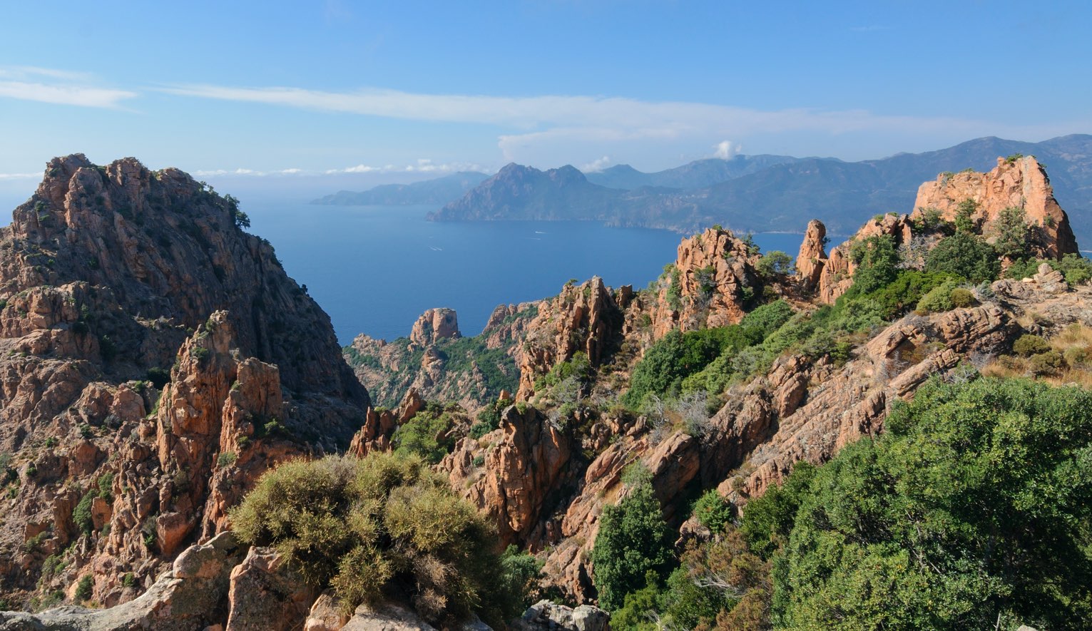
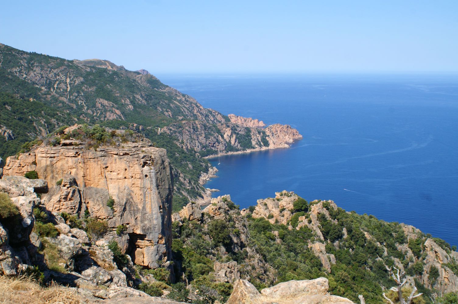
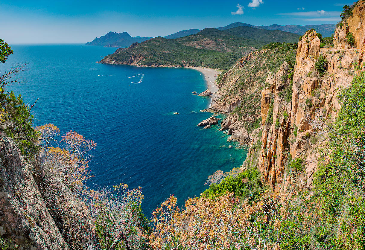
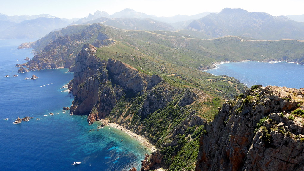
Round trip to the Genoese tower of Turghiu. It is possible to climb to its summit and enjoy a 360-degree view of the Gulf of Porto, the creeks of Piana, and the Gulf of Sagone.

Already more than 200,000 users!
Uphill
486m
Highest point
311m
Downhill
486m
Lowest point
59m
Route type
There and back
Download the map on your smartphone to save battery and rest assured to always keep access to the route, even without signal.
Includes IGN France and Swisstopo.
I indicate whether dogs are allowed or prohibited on this trail
All year
2 ratings
Also enjoy:

Already more than 200,000 users!