Uphill
840m
Length
12km
Duration
6h
Elev gain
840m
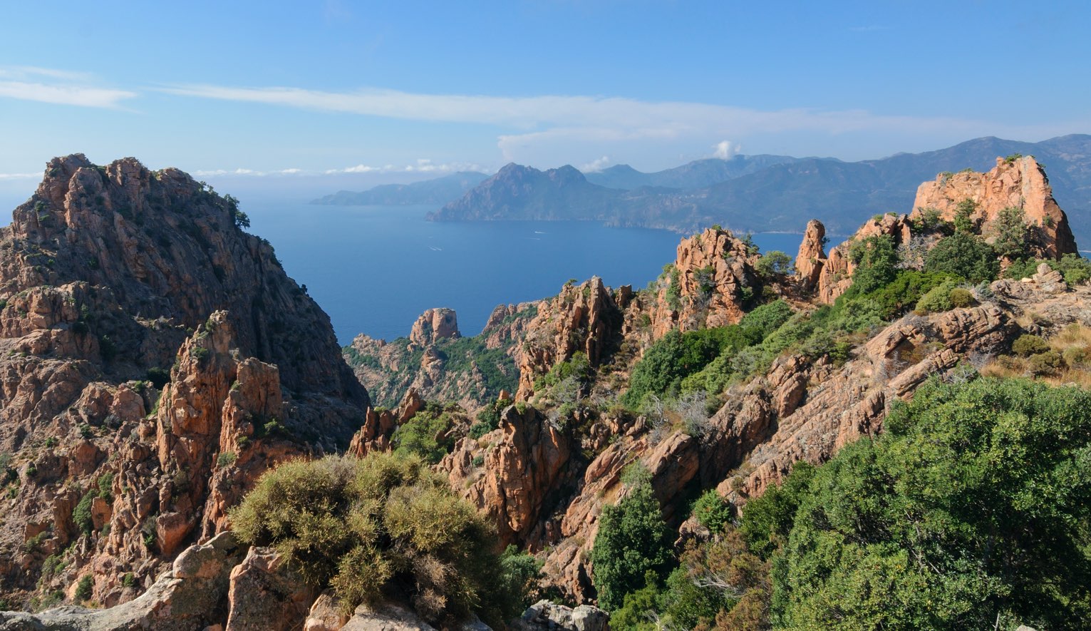
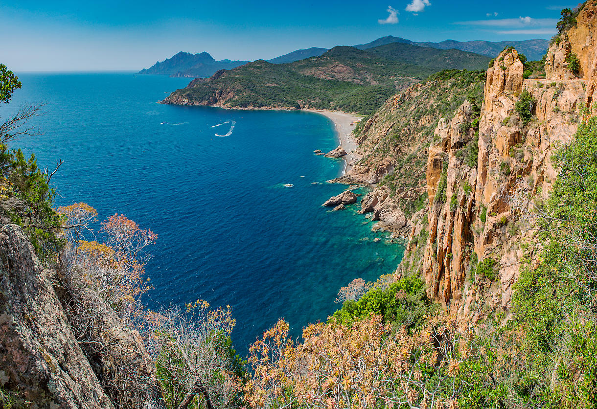
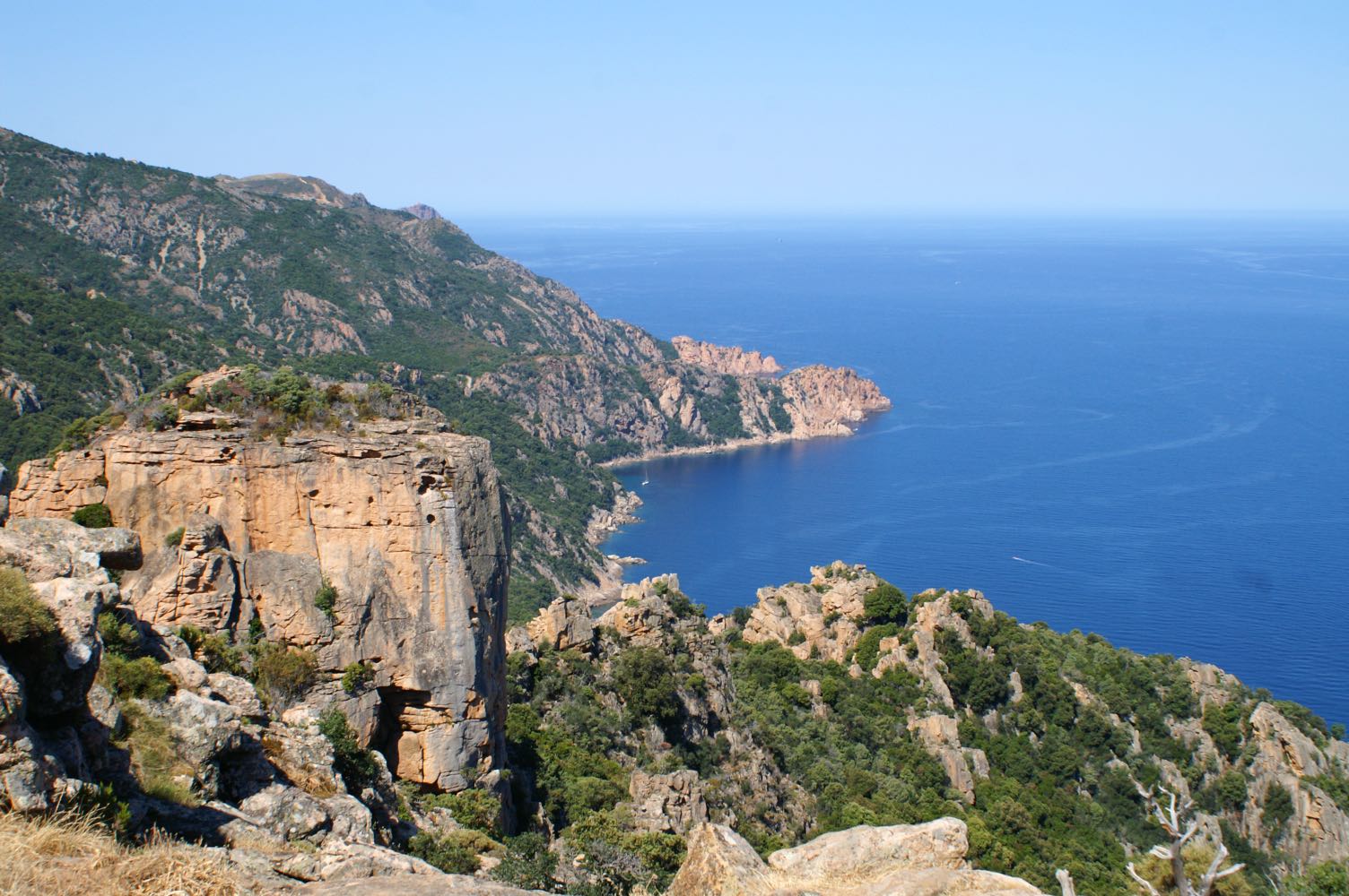
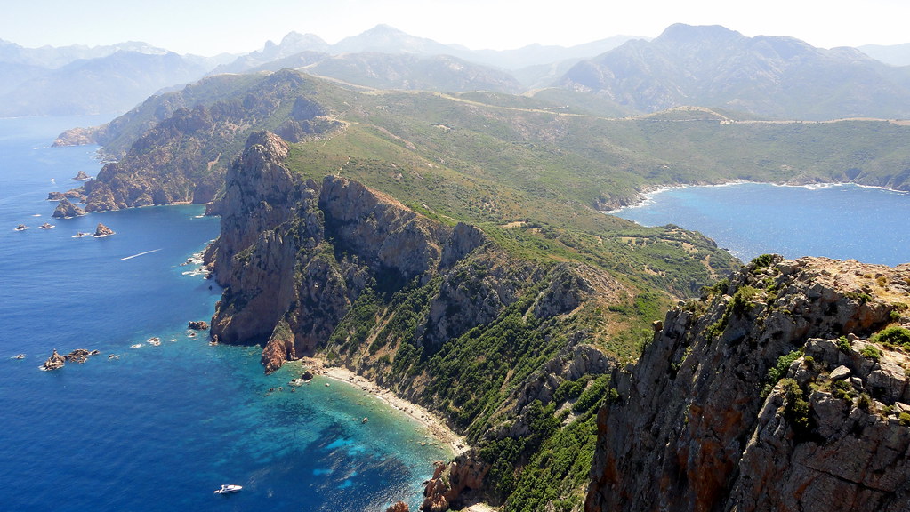
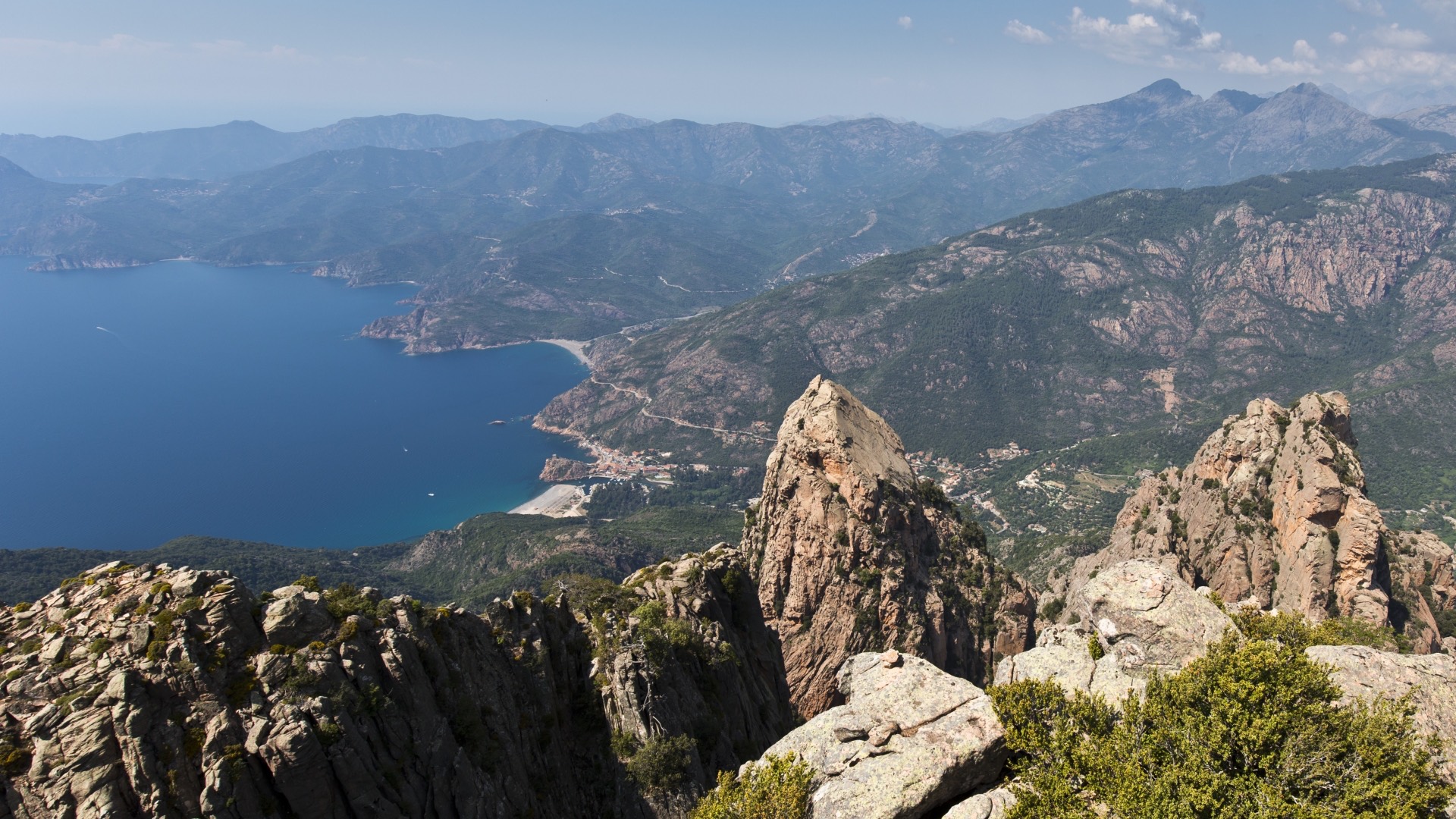
A relatively high summit (1294 m) given the proximity to the sea. The view of the Scandola reserve and the Porto valley is spectacular.

Already more than 200,000 users!
Uphill
840m
Highest point
1258m
Downhill
840m
Lowest point
470m
Route type
Loop
Download the map on your smartphone to save battery and rest assured to always keep access to the route, even without signal.
Includes IGN France and Swisstopo.
I indicate whether dogs are allowed or prohibited on this trail
All year
0 ratings
Also enjoy:

Already more than 200,000 users!